| Region rejsu : kanał Panamski, Rejsy po Pacyfiku, USA /Kanada / Meksyk |
| Firma : Azamara Cruises |
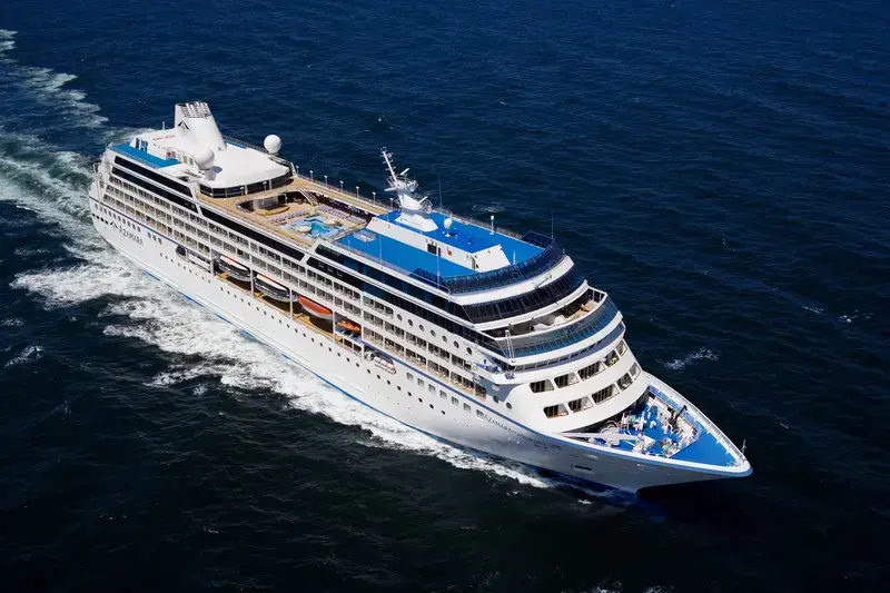
| Statek : Azamara Quest |
| Data rozpoczęcia : śr. 03 sty 2029 |
| Data zakończenia : wt. 17 lip 2029 |
| Liczba nocy : 195 nocy |
| Dzień | Data | Port | Wypłynięcie | Odpłynięcie |
|---|---|---|---|---|
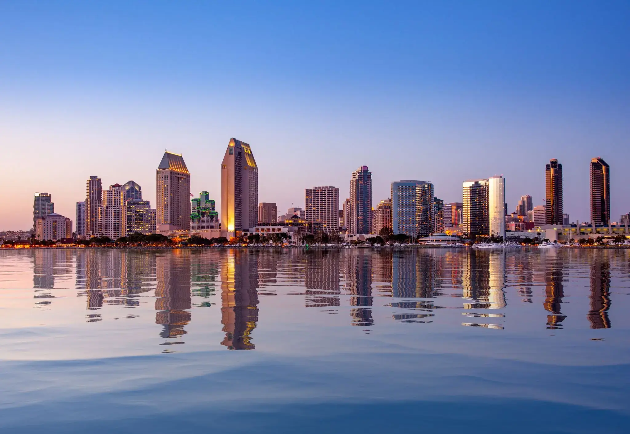
| 1 | 3.01 śr. | San Diego, Kalifornia / USA | 17:00 | |
| 2 | 4.01 czw. | Dzień na morzu / Morze | 15:00 | |
| 3 | 5.01 pt. | Dzień na morzu / Morze | ||
| 4 | 6.01 sob. | Dzień na morzu / Morze | ||
| 5 | 7.01 niedz. | Dzień na morzu / Morze | ||
| 6 | 8.01 pon. | Dzień na morzu / Morze | ||
| 7 | 9.01 wt. | Honolulu, Oahu, Hawaje / Hawaje | 17:00 | |
| 8 | 10.01 śr. | Honolulu, Oahu, Hawaje / Hawaje | 20:00 | |
| 9 | 11.01 czw. | Kailua-Kona / Hawaje | 08:00 | 20:00 |
| 10 | 12.01 pt. | Kahului, około. Maui / Hawaje | 08:00 | 19:00 |
| 11 | 13.01 sob. | Hilo / Hawaje | 07:30 | 14:00 |
| 12 | 14.01 niedz. | Dzień na morzu / Morze | ||
| 13 | 15.01 pon. | Dzień na morzu / Morze | ||
| 14 | 16.01 wt. | Dzień na morzu / Morze | ||
| 15 | 17.01 śr. | Dzień na morzu / Morze | ||
| 16 | 18.01 czw. | Dzień na morzu / Morze | ||
| 18 | 20.01 sob. | Moorea, Wyspy Towarzystwa / French Polynesia | 08:00 | |
| 19 | 21.01 niedz. | Papeete Papeete / French Polynesia | 18:00 | |
| 20 | 22.01 pon. | Moorea, Wyspy Towarzystwa / French Polynesia | 15:30 | |
| 21 | 23.01 wt. | Papeete Papeete / French Polynesia | 06:30 | 20:00 |
| 22 | 24.01 śr. | Bora Bora, Society Islands / French Polynesia | 08:00 | |
| 23 | 25.01 czw. | Bora Bora, Society Islands / French Polynesia | 22:00 | |
| 25 | 27.01 sob. | Dzień na morzu / Morze | ||
| 26 | 28.01 niedz. | Dzień na morzu / Morze | ||
| 27 | 29.01 pon. | Pago-Pago / Samoa | 13:00 | 22:00 |
| 28 | 30.01 wt. | Dzień na morzu / Morze | 15:00 | |
| 29 | 31.01 śr. | Przekrocz międzynarodową linię zmiany daty | 05:00 | 06:00 |
| 30 | 1.02 czw. | Apia / Samoa | 08:00 | 18:00 |
| 31 | 2.02 pt. | Dzień na morzu / Morze | ||
| 32 | 3.02 sob. | Savusavu / Fiji | 09:00 | 20:00 |
| 33 | 4.02 niedz. | Suchy / Fiji | 08:00 | 20:00 |
| 34 | 5.02 pon. | Lautoka / Fiji | 07:00 | 20:00 |
| 35 | 6.02 wt. | Dzień na morzu / Morze | ||
| 40 | 11.02 niedz. | Dzień na morzu / Morze | ||
| 41 | 12.02 pon. | WYSPA NORFOLK | 08:00 | 18:00 |
| 42 | 13.02 wt. | Dzień na morzu / Morze | ||
| 43 | 14.02 śr. | Kokcen-Houl / Honduras | 07:30 | 19:00 |
| 44 | 15.02 czw. | Whangarei / Nowa Zelandia | 08:00 | 18:00 |
| 45 | 16.02 pt. | Okland / Nowa Zelandia | 07:00 | 18:00 |
| 46 | 17.02 sob. | Toranga / Nowa Zelandia | 08:00 | 17:00 |
| 47 | 18.02 niedz. | Нейпир / Nowa Zelandia | 13:00 | 20:00 |
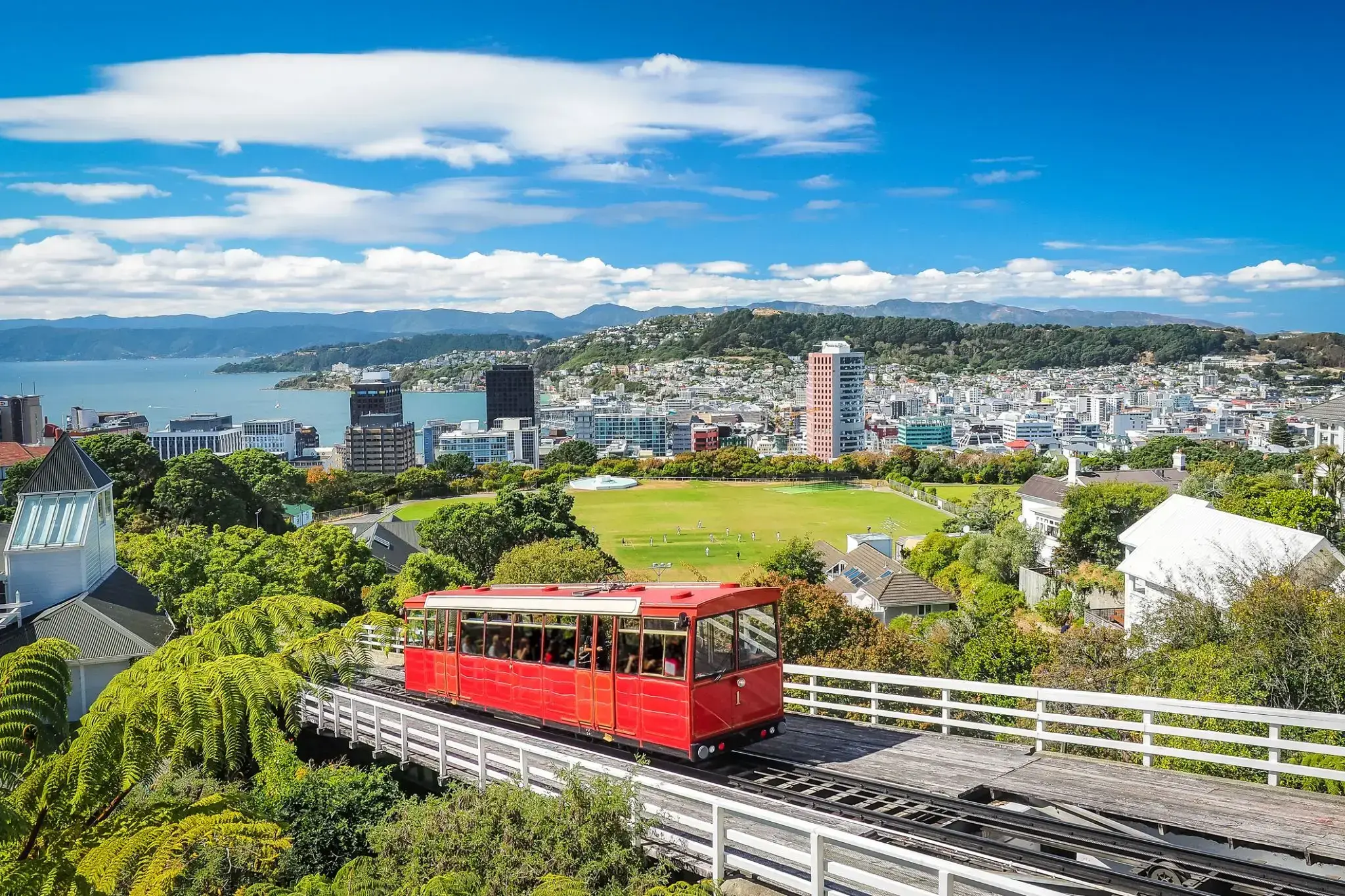
| 48 | 19.02 pon. | Wellington / Nowa Zelandia | 13:00 | 22:00 |
| 49 | 20.02 wt. | Goal Goal / Australia | 08:00 | 17:00 |
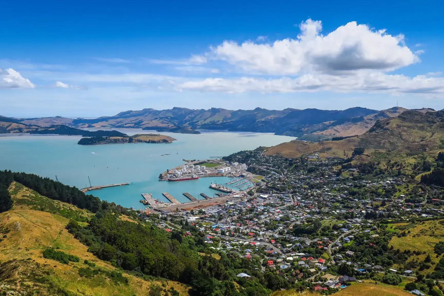
| 50 | 21.02 śr. | Christchurch / Nowa Zelandia | 07:00 | 20:00 |
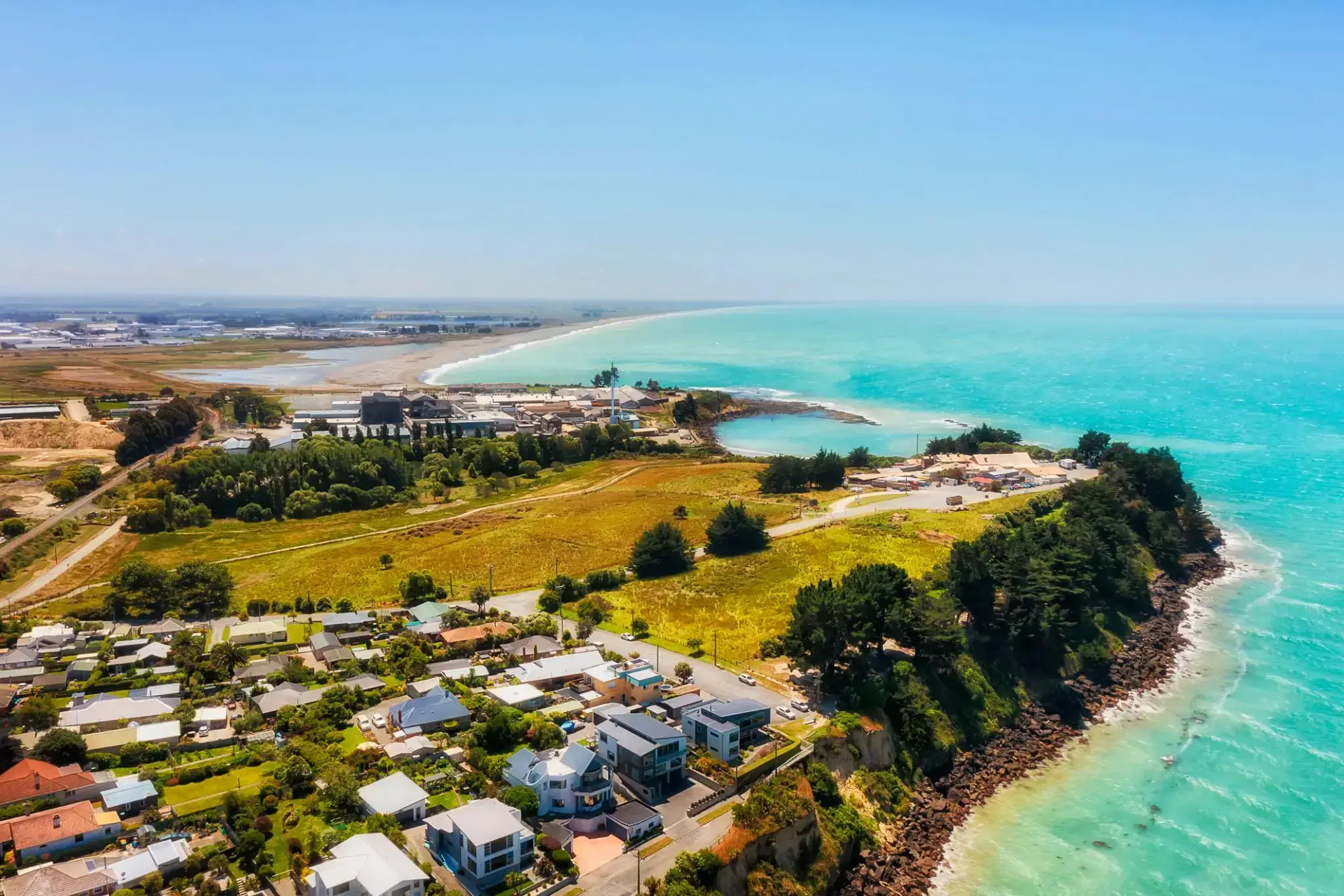
| 51 | 22.02 czw. | Timaru / Nowa Zelandia | 08:00 | 20:00 |
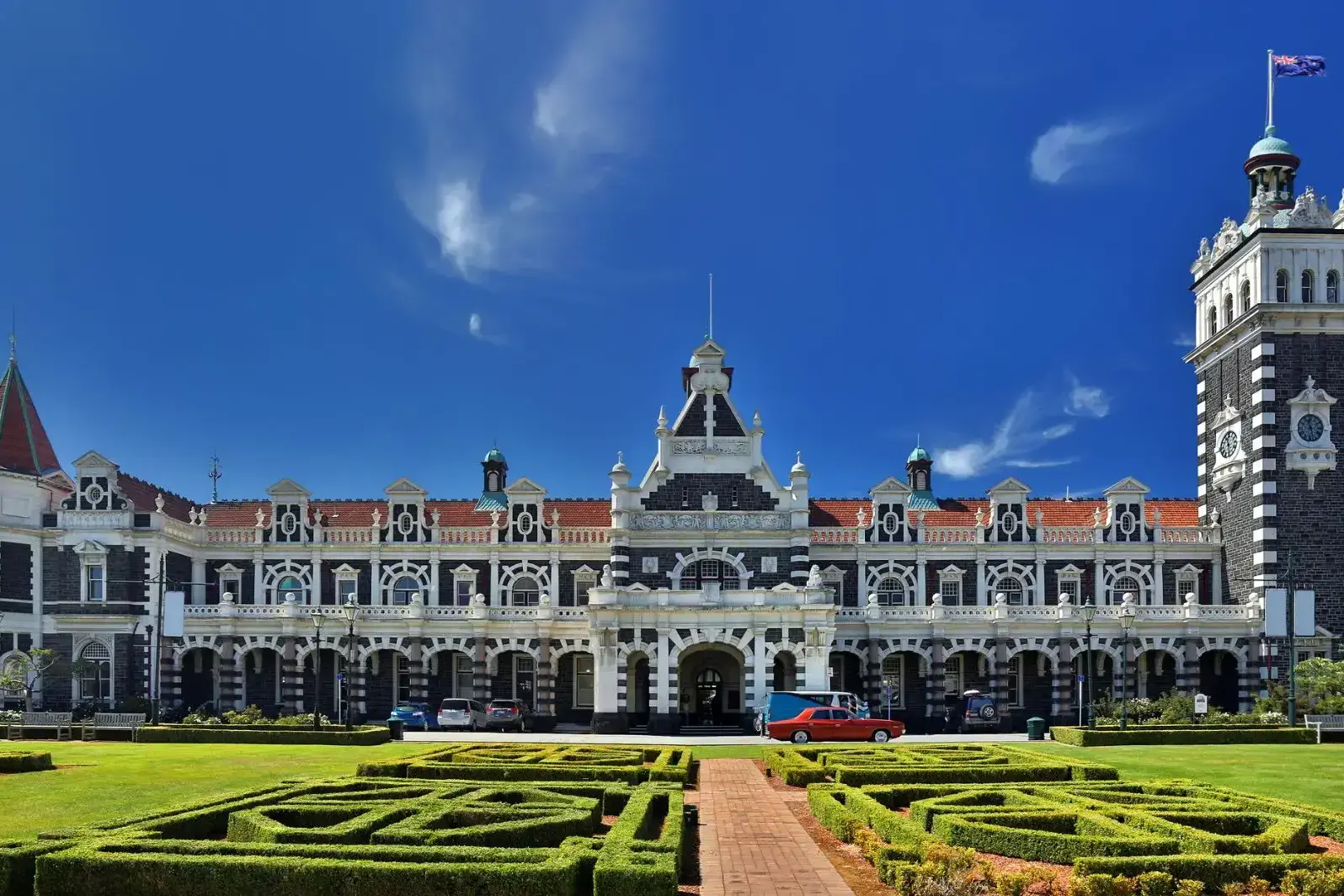
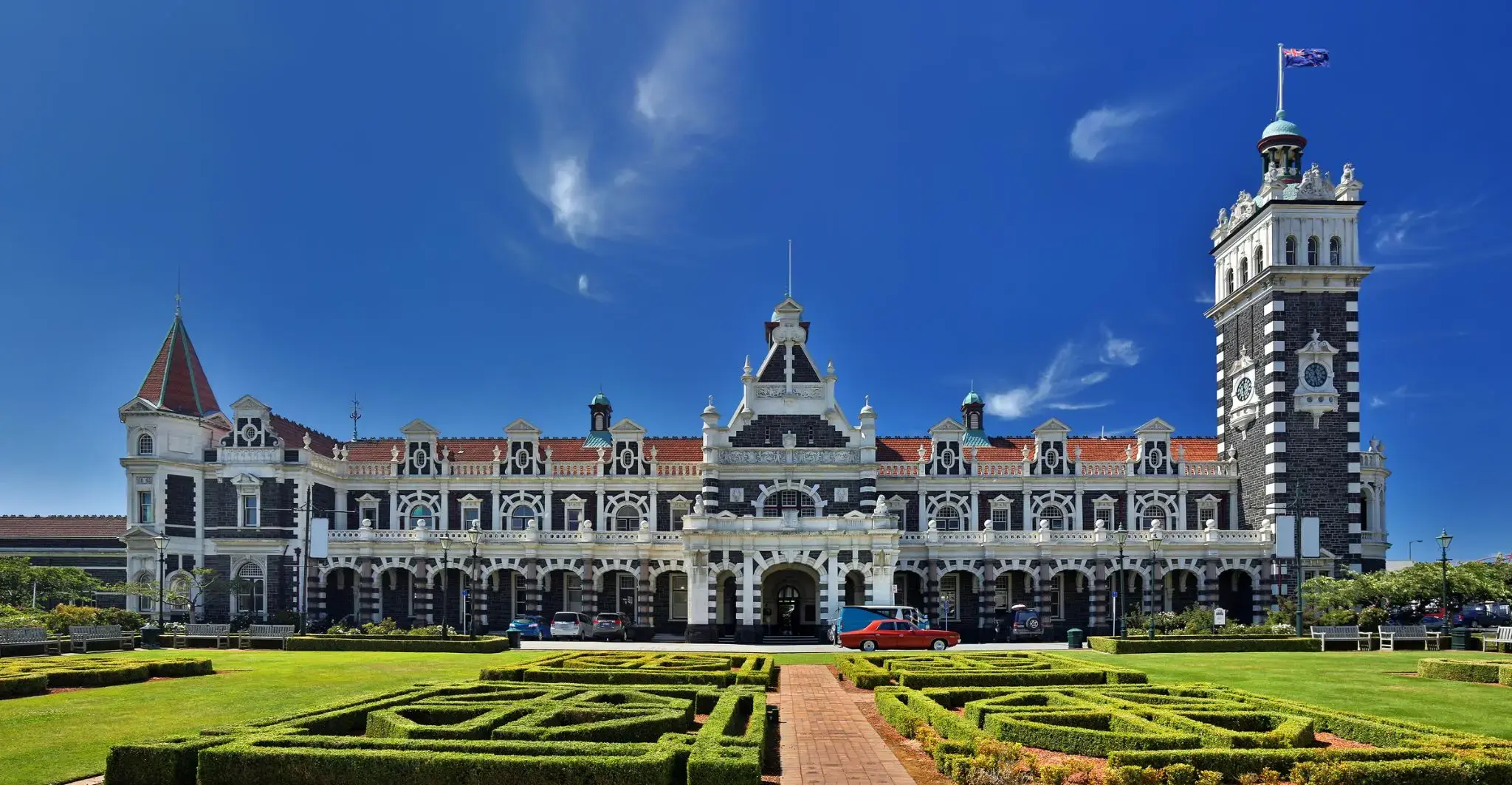
| 52 | 23.02 pt. | Danidin / Nowa Zelandia | 07:30 | 16:00 |
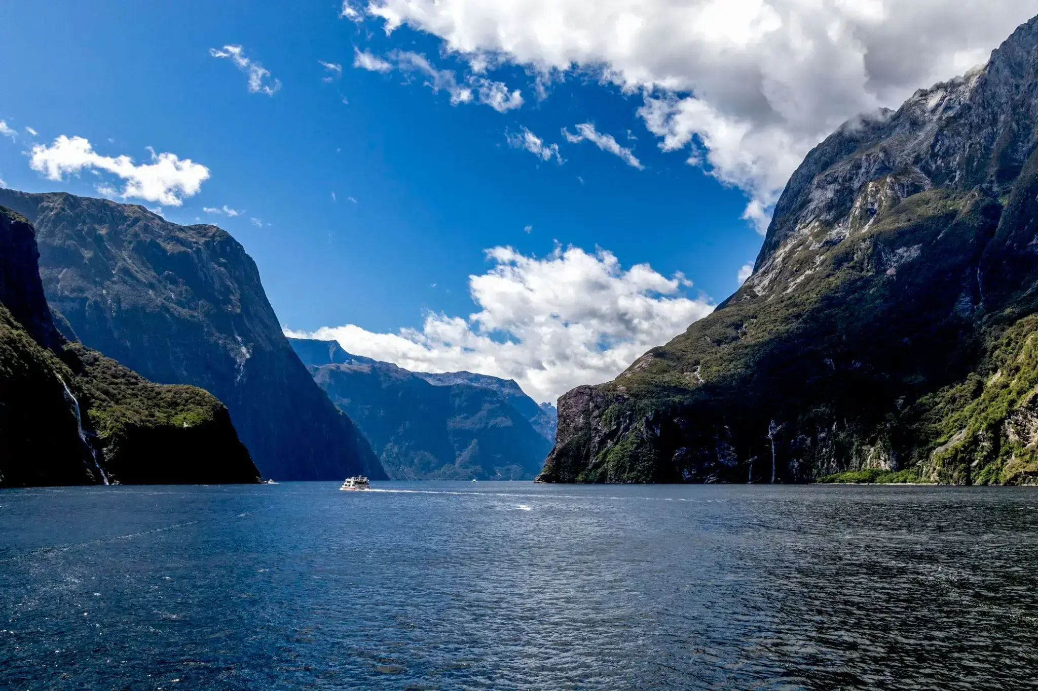
| 53 | 24.02 sob. | Milford-Sound / Nowa Zelandia | 16:00 | 19:00 |
| 54 | 25.02 niedz. | Dzień na morzu / Morze | ||
| 55 | 26.02 pon. | Dzień na morzu / Morze | ||
| 56 | 27.02 wt. | Gobarta na Tasmanii / Australia | 08:00 | 22:00 |
| 58 | 1.03 czw. | Dzień na morzu / Morze | ||
| 59 | 2.03 pt. | Sydnej / Australia | 08:00 | |
| 60 | 3.03 sob. | Sydnej / Australia | 06:30 | 17:00 |
| 61 | 4.03 niedz. | Dzień na morzu / Morze | ||
| 62 | 5.03 pon. | Melbourne / Australia | 08:00 | 20:00 |
| 63 | 6.03 wt. | Dzień na morzu / Morze | ||
| 64 | 7.03 śr. | Adelaida / Australia | 08:00 | 20:00 |
| 65 | 8.03 czw. | Dzień na morzu / Morze | ||
| 66 | 9.03 pt. | Dzień na morzu / Morze | ||
| 67 | 10.03 sob. | Dzień na morzu / Morze | ||
| 68 | 11.03 niedz. | RZEKA MARGARET | 09:00 | 22:00 |
| 69 | 12.03 pon. | Pert | 08:00 | 22:00 |
| 70 | 13.03 wt. | Geraldtona | 13:30 | 20:00 |
| 71 | 14.03 śr. | Dzień na morzu / Morze | ||
| 73 | 16.03 pt. | Dzień na morzu / Morze | ||
| 74 | 17.03 sob. | Brum / Australia | 08:00 | 20:00 |
| 76 | 19.03 pon. | Dzień na morzu / Morze | ||
| 77 | 20.03 wt. | Darwin / Australia | 07:30 | 17:00 |
| 78 | 21.03 śr. | Dzień na morzu / Morze | ||
| 79 | 22.03 czw. | Dzień na morzu / Morze | ||
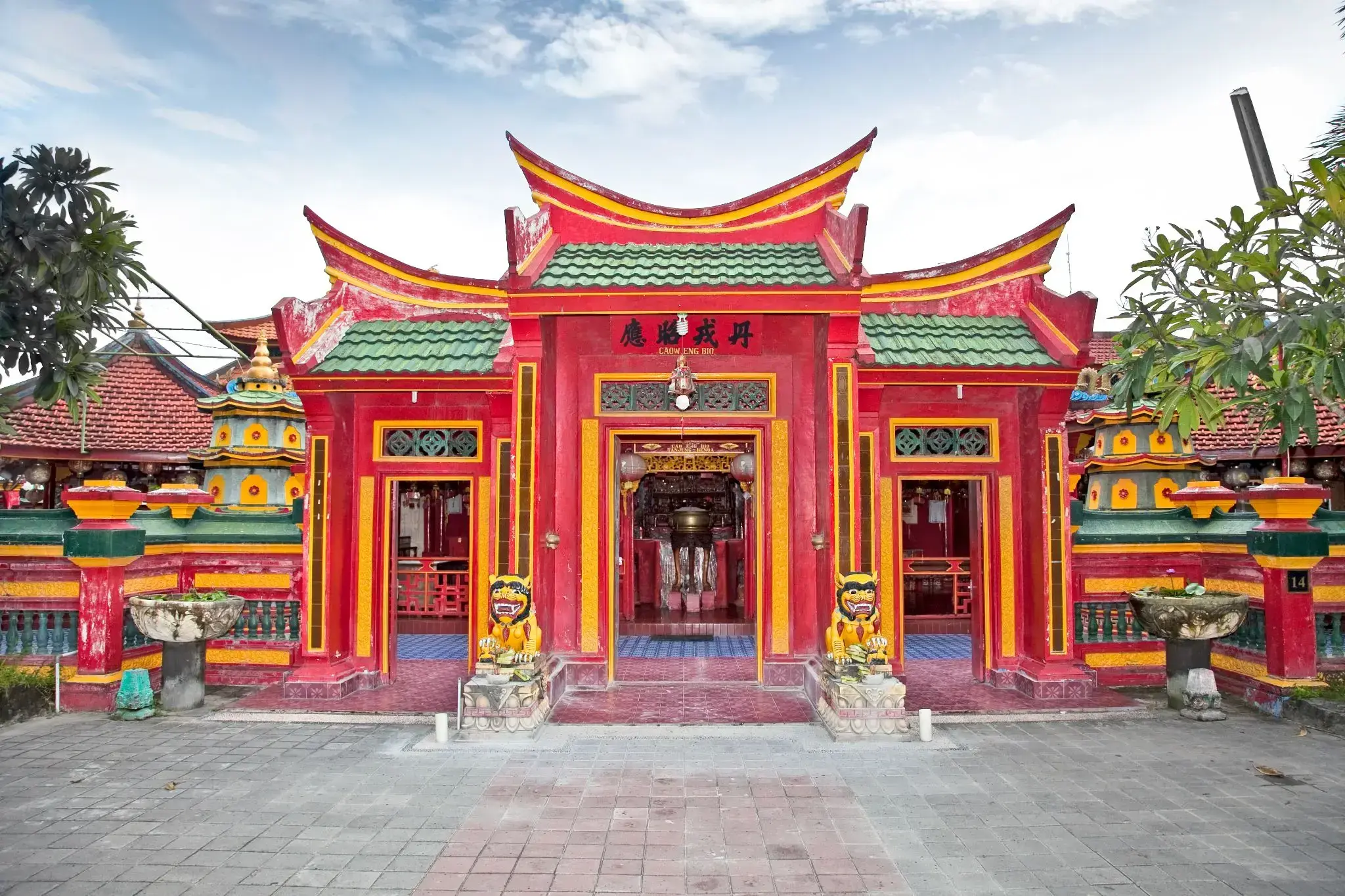
| 80 | 23.03 pt. | Tanjung Benoit / Indonezja | 06:00 | 18:00 |
| 81 | 24.03 sob. | Chelukan-Bawang | 08:00 | 18:00 |
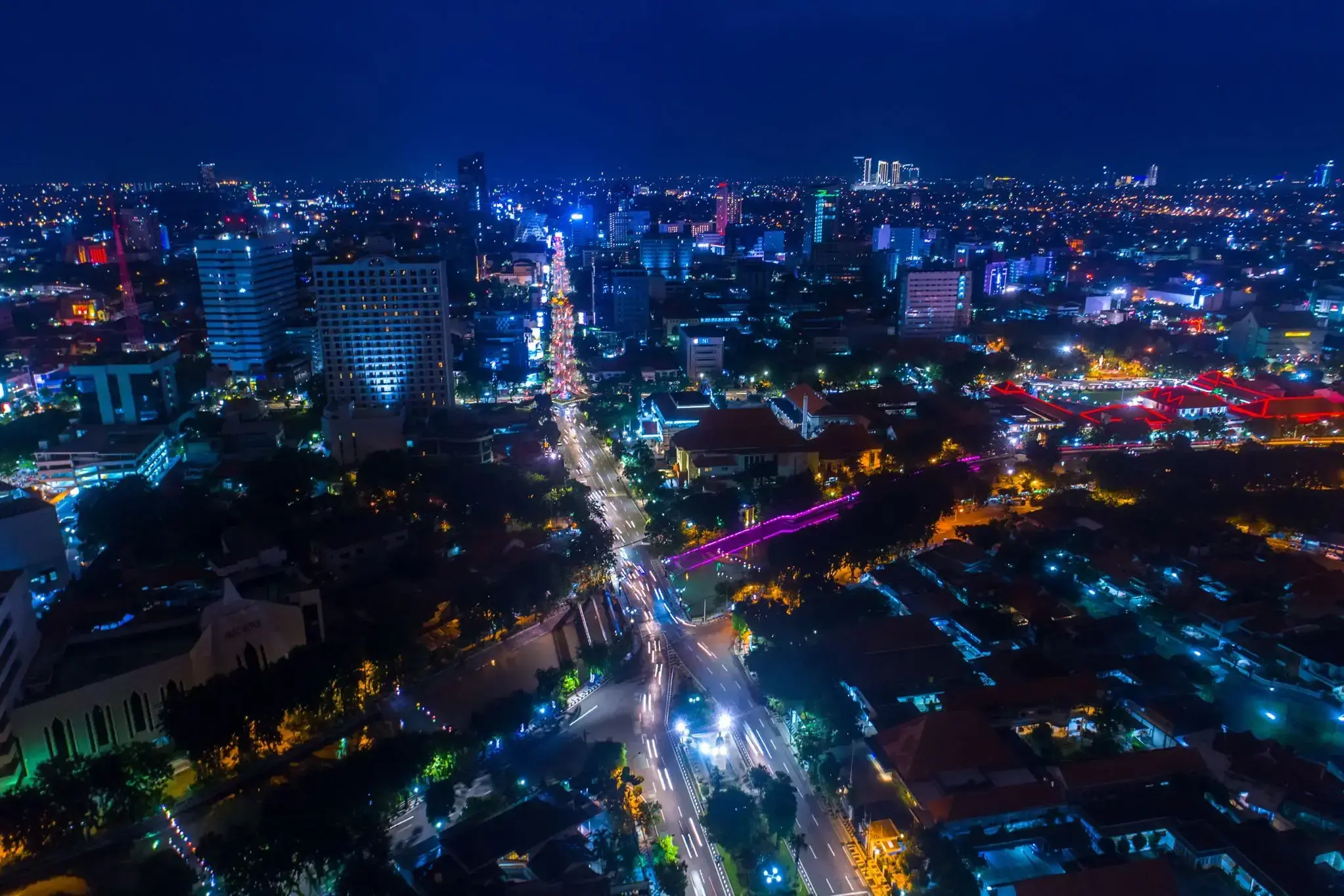
| 82 | 25.03 niedz. | Surabaya / Indonezja | 09:00 | 17:00 |
| 83 | 26.03 pon. | Semarang / Indonezja | 07:30 | 22:00 |
| 84 | 27.03 wt. | Dzień na morzu / Morze | ||
| 85 | 28.03 śr. | Dzień na morzu / Morze | ||
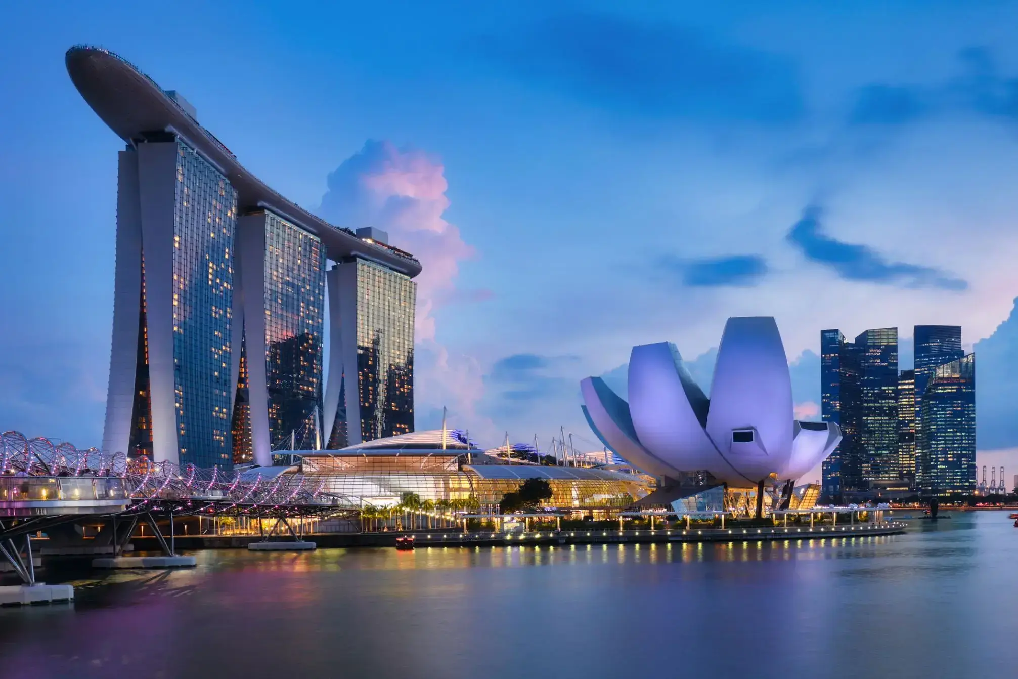
| 86 | 29.03 czw. | Singapur / Singapur | 08:00 | |
| 87 | 30.03 pt. | Singapur / Singapur | 06:30 | 22:00 |
| 88 | 31.03 sob. | Dzień na morzu / Morze | ||
| 90 | 2.04 pon. | Dzień na morzu / Morze | ||
| 91 | 3.04 wt. | Wyspa Samui / Koh Samui / Thailand | 08:00 | 14:00 |
| 92 | 4.04 śr. | Bangkok / Thailand | 08:00 | |
| 93 | 5.04 czw. | Bangkok / Thailand | 15:00 | |
| 94 | 6.04 pt. | Dzień na morzu / Morze | ||
| 95 | 7.04 sob. | Ho Chi Minh / Vietnam | 10:00 | |
| 96 | 8.04 niedz. | Ho Chi Minh / Vietnam | 16:00 | |
| 97 | 9.04 pon. | Dzień na morzu / Morze | ||
| 98 | 10.04 wt. | Dzień na morzu / Morze | ||
| 99 | 11.04 śr. | Limbe / Cameroon | 07:00 | 22:00 |
| 100 | 12.04 czw. | Dzień na morzu / Morze | ||
| 101 | 13.04 pt. | Bankiao | 08:00 | 20:00 |
| 102 | 14.04 sob. | Dzień na morzu / Morze | ||
| 103 | 15.04 niedz. | Szanghaj / Chiny | 09:00 | |
| 104 | 16.04 pon. | Szanghaj / Chiny | ||
| 105 | 17.04 wt. | Szanghaj / Chiny | 18:00 | |
| 106 | 18.04 śr. | Dzień na morzu / Morze | ||
| 107 | 19.04 czw. | Dzień na morzu / Morze | ||
| 108 | 20.04 pt. | Pekin / Chiny | 07:00 | |
| 109 | 21.04 sob. | Pekin / Chiny | 20:00 | |
| 110 | 22.04 niedz. | Dzień na morzu / Morze | ||
| 111 | 23.04 pon. | Incheon / Korea | 06:00 | 22:00 |
| 112 | 24.04 wt. | Dzień na morzu / Morze | ||
| 113 | 25.04 śr. | Yeosu / Korea | 08:00 | 20:00 |
| 114 | 26.04 czw. | Busan / Korea | 08:00 | 20:00 |
| 115 | 27.04 pt. | Kita-Kyushu. Japonia | 08:00 | 20:00 |
| 116 | 28.04 sob. | Hiroszima / Japonia | 08:00 | 22:00 |
| 117 | 29.04 niedz. | Kochi / Indie | 13:00 | 20:00 |
| 118 | 30.04 pon. | Osaka / Japonia | 08:00 | |
| 119 | 1.05 wt. | Osaka / Japonia | 17:00 | |
| 120 | 2.05 śr. | Nagoya / Japonia | 10:00 | 20:00 |
| 121 | 3.05 czw. | Shimizu / Japonia | 08:00 | 20:00 |
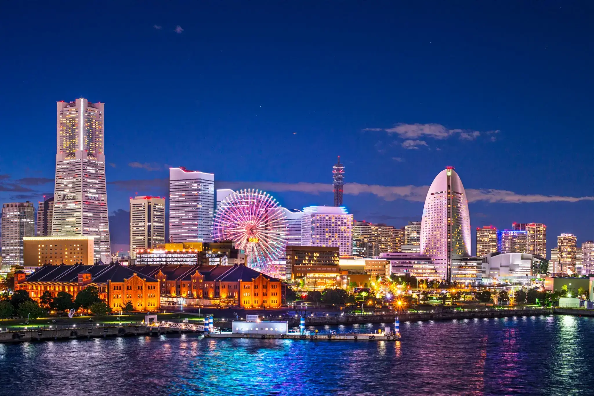
| 122 | 4.05 pt. | Yokohama (Tokio) / Japonia | 08:00 | |
| 123 | 5.05 sob. | Yokohama (Tokio) / Japonia | 06:30 | 19:00 |
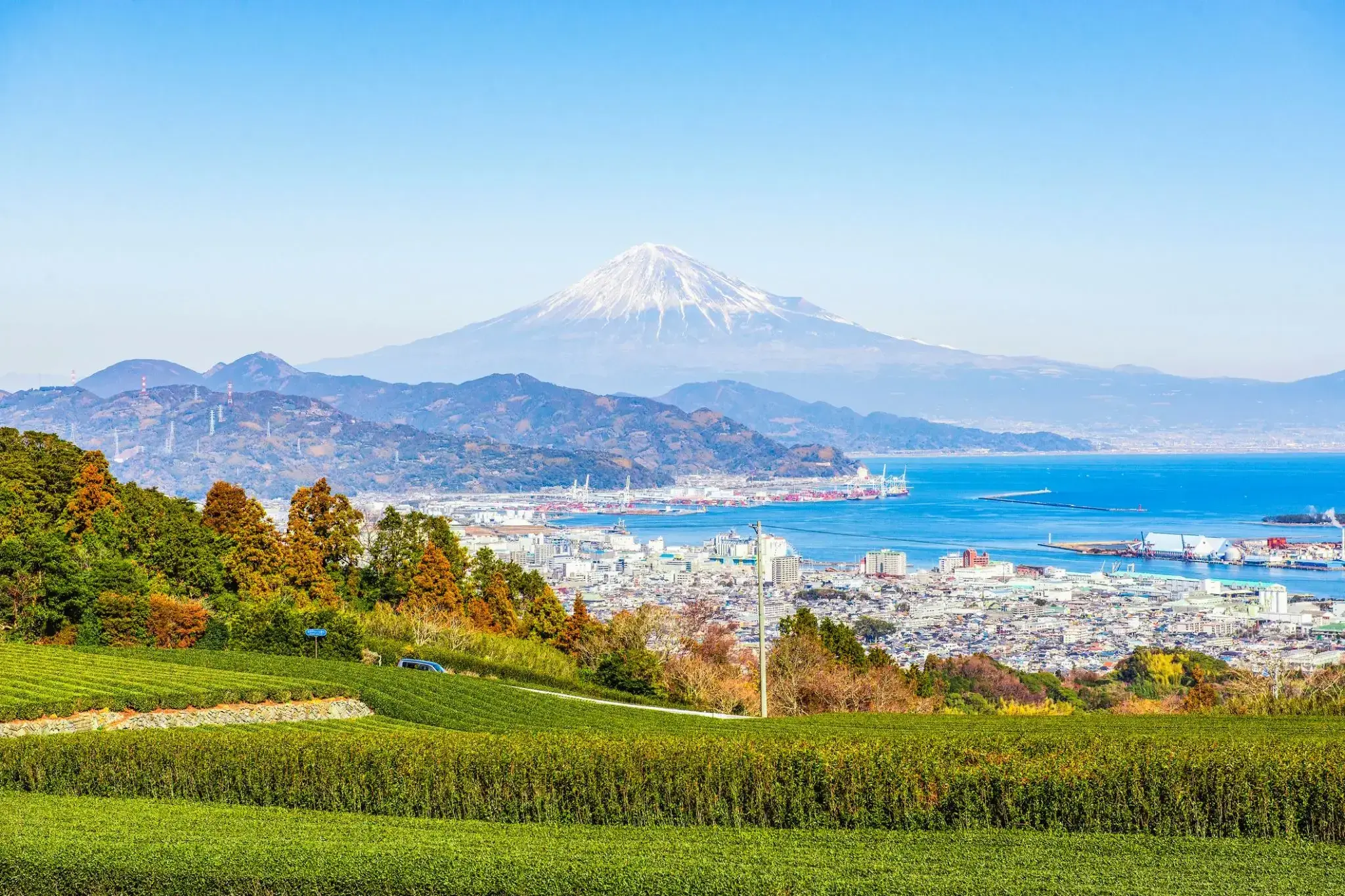
| 124 | 6.05 niedz. | Bandol / Francja | 09:00 | 17:00 |
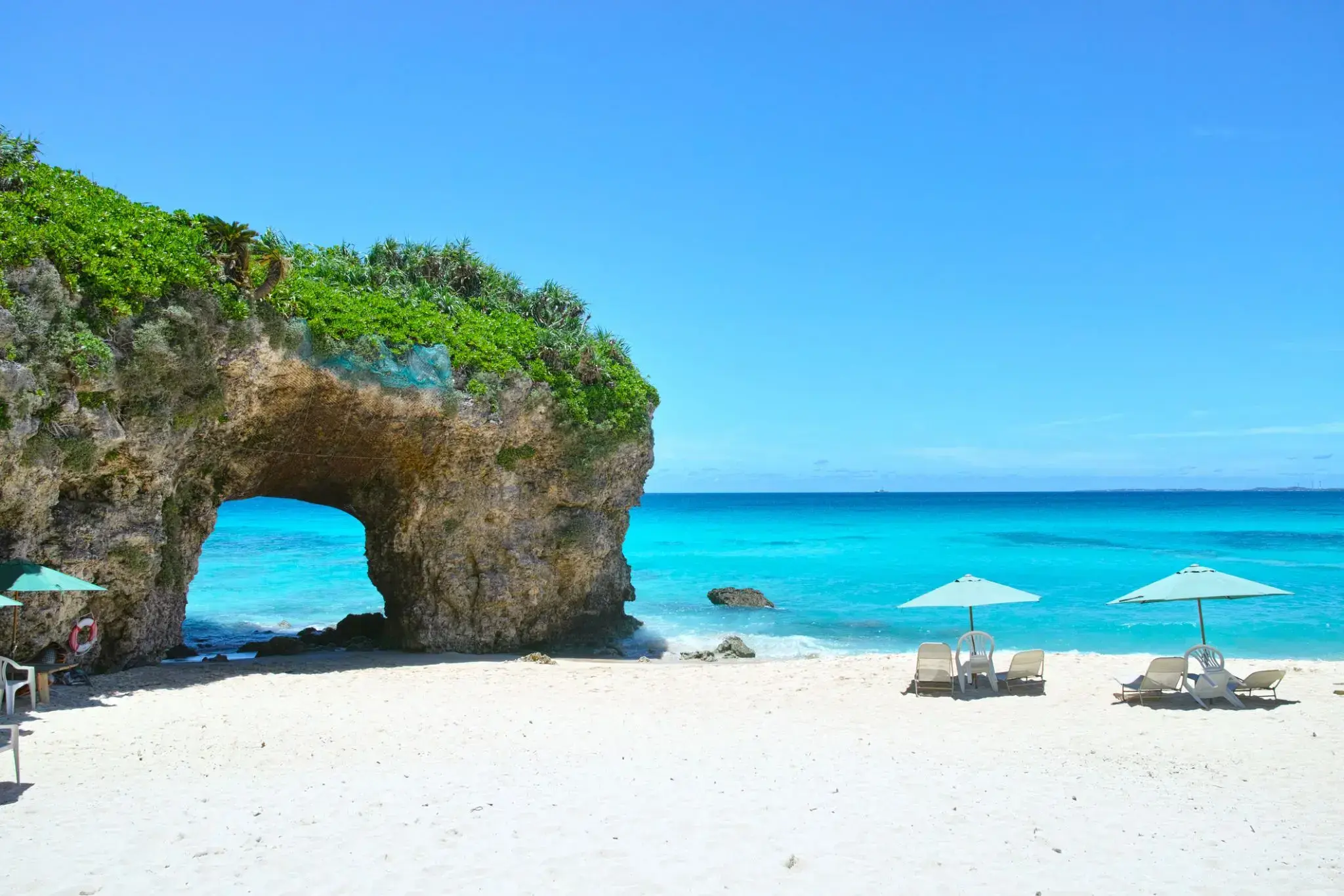
| 125 | 7.05 pon. | Miyakojima Miyako / Japonia | 10:00 | 17:00 |
| 126 | 8.05 wt. | Dzień na morzu / Morze | ||
| 127 | 9.05 śr. | Dzień na morzu / Morze | ||
| 128 | 10.05 czw. | Dzień na morzu / Morze | ||
| 129 | 11.05 pt. | Dzień na morzu / Morze | ||
| 130 | 12.05 sob. | Dzień na morzu / Morze | ||
| 131 | 13.05 niedz. | Dzień na morzu / Morze | ||
| 132 | 14.05 pon. | Dzień na morzu / Morze | ||
| 133 | 15.05 wt. | Kodiak / Alaska | 06:00 | 17:00 |
| 134 | 16.05 śr. | Seward / Alaska | 07:00 | 18:00 |
| 135 | 17.05 czw. | Valdiz / Alaska | 08:00 | 14:00 |
| 136 | 18.05 pt. | Bandol / Francja | 11:00 | 16:00 |
| 137 | 19.05 sob. | Juneau / Alaska | 10:30 | 22:00 |
| 138 | 20.05 niedz. | Lodowa Cieśnina | 08:00 | 17:00 |
| 139 | 21.05 pon. | Bandol / Francja | 13:00 | 22:00 |
| 140 | 22.05 wt. | Dzień na morzu / Morze | 15:00 | |
| 141 | 23.05 śr. | Nanaimo | 13:00 | 22:00 |
| 142 | 24.05 czw. | Vancouver / Kanada | 07:00 | 20:00 |
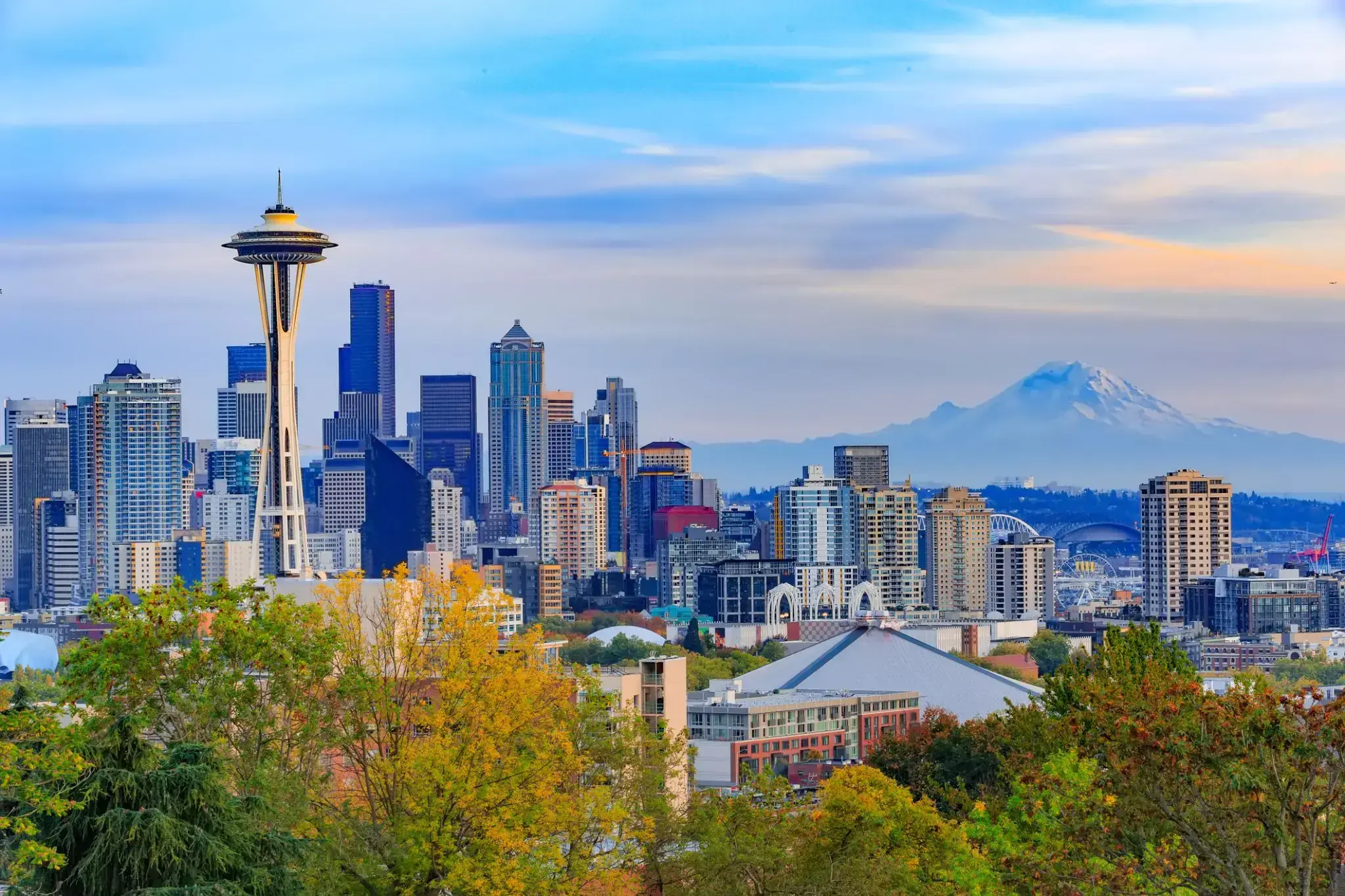
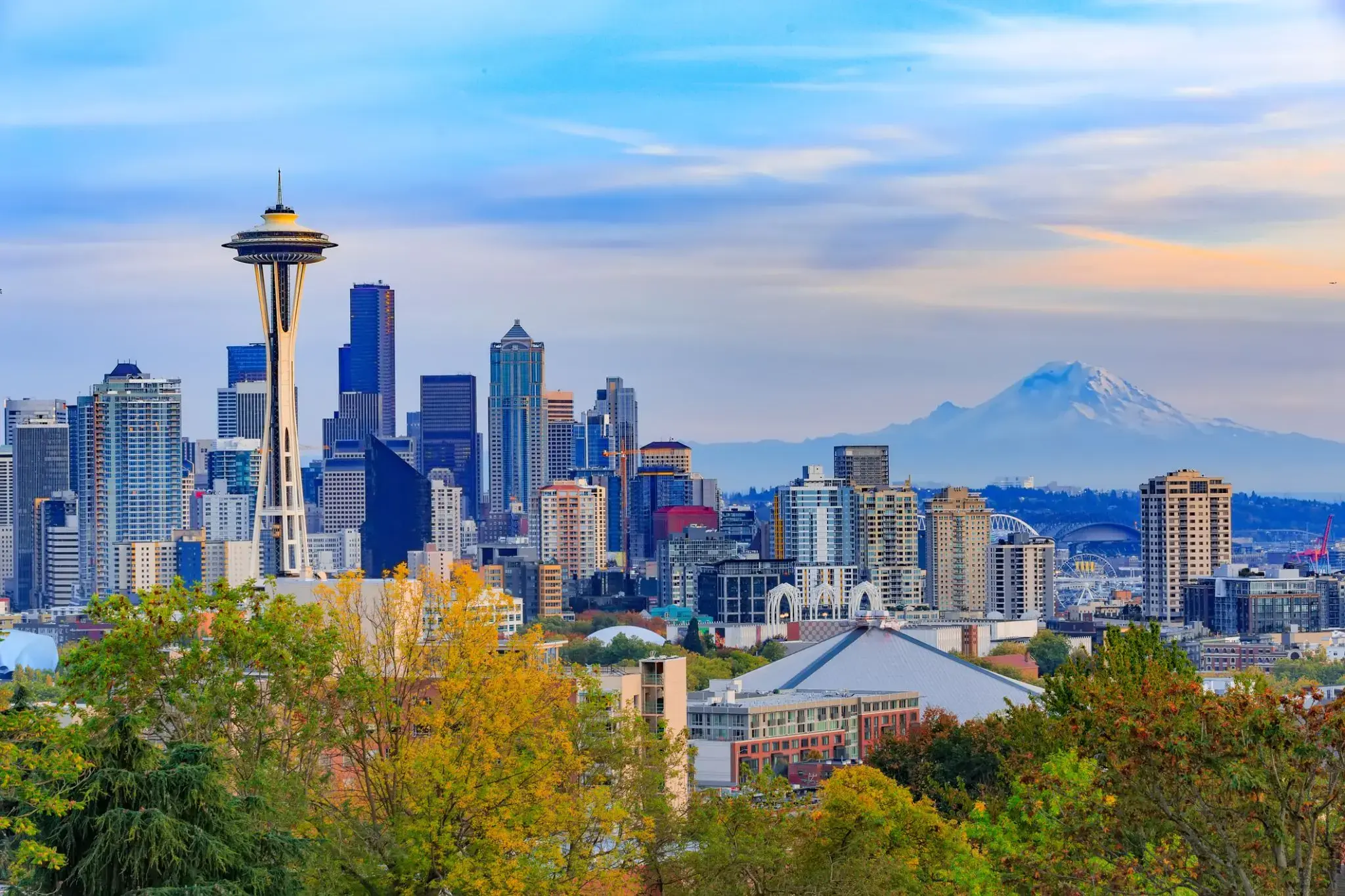
| 143 | 25.05 pt. | Seattle, Waszyngton / USA | 08:00 | 22:00 |
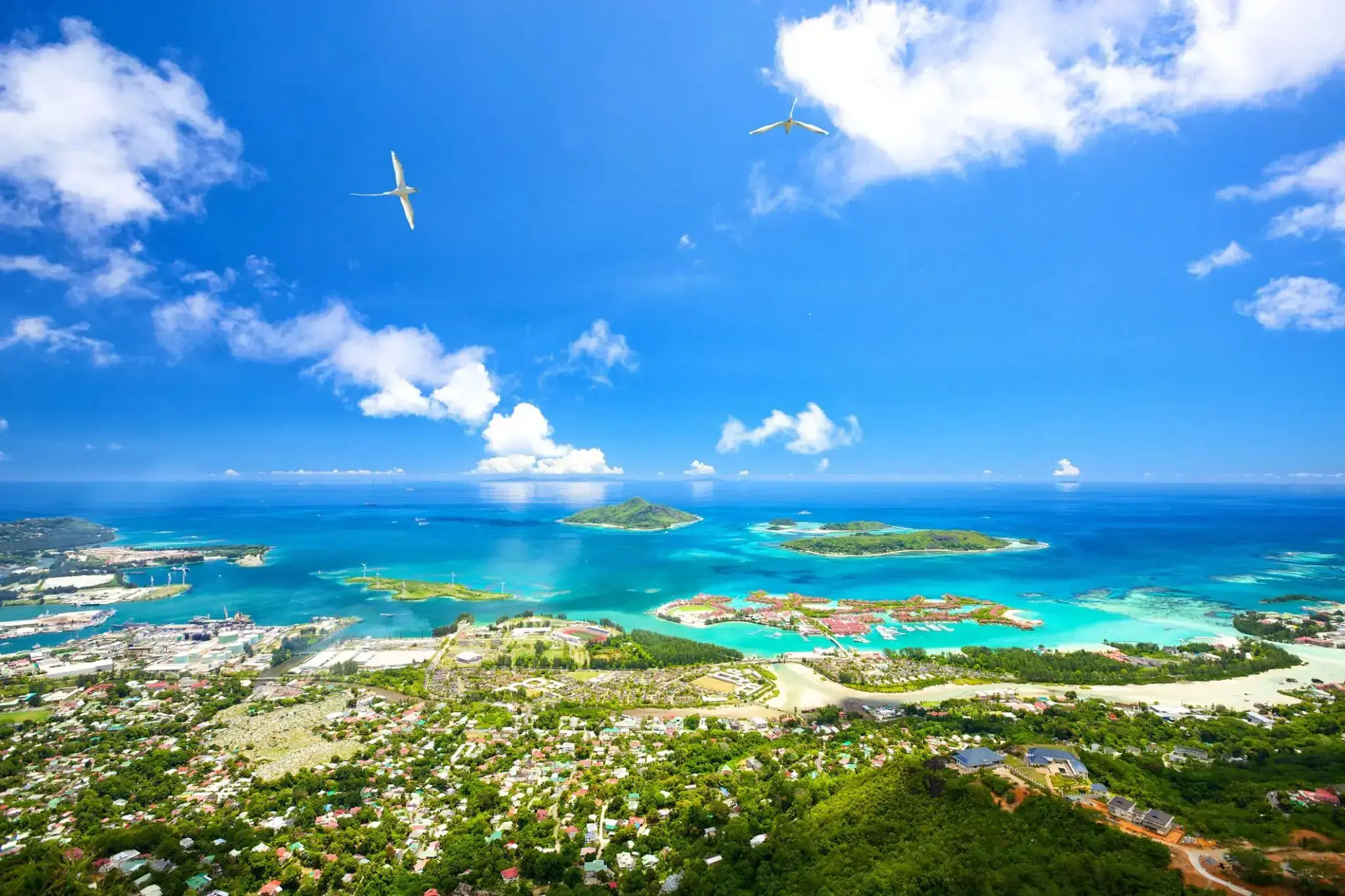
| 144 | 26.05 sob. | Victoria, wyspa MAE / Seszele | 08:00 | 17:00 |
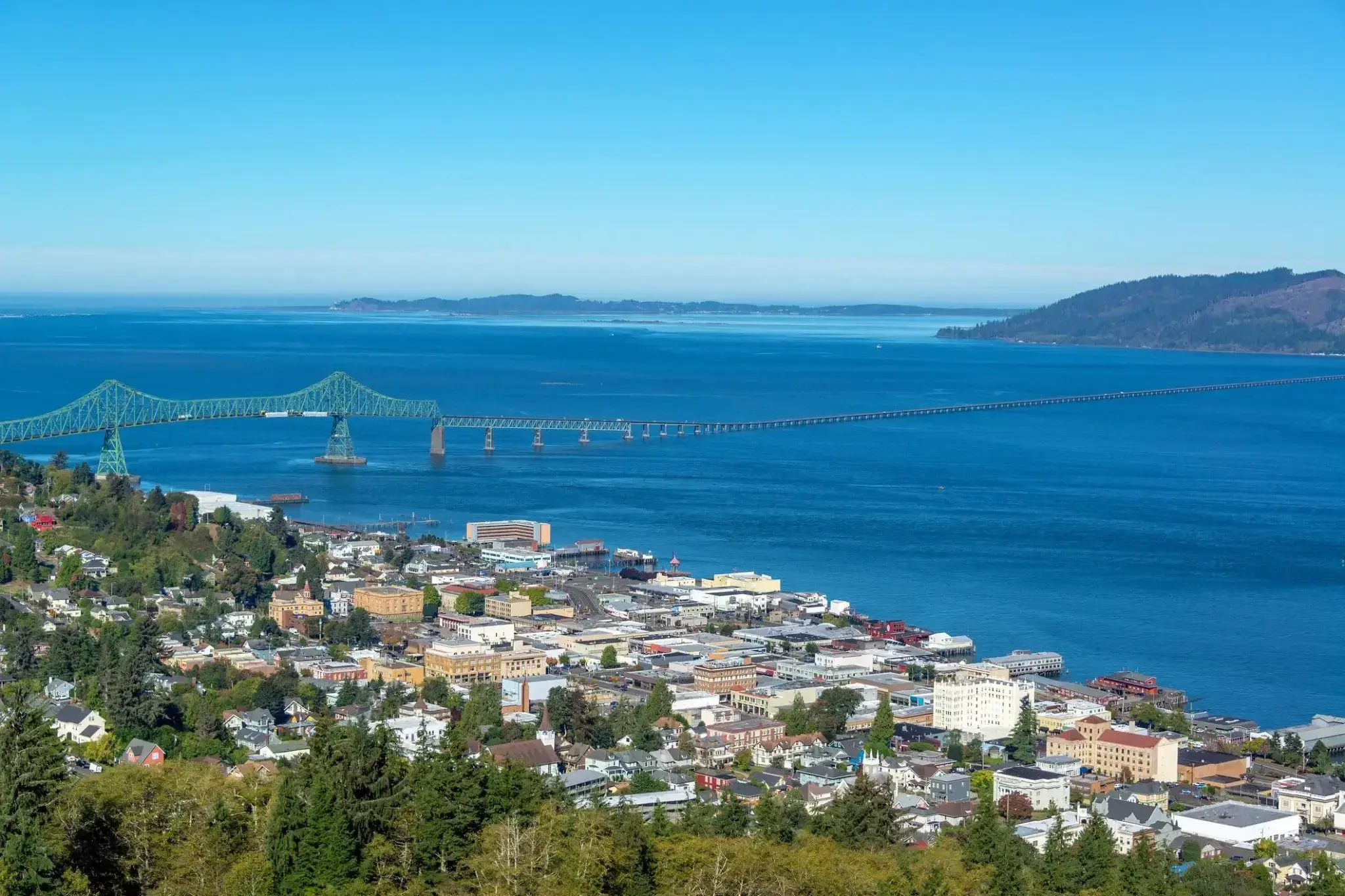
| 145 | 27.05 niedz. | Astoria / USA | 09:00 | 20:00 |
| 146 | 28.05 pon. | Dzień na morzu / Morze | 15:00 | |
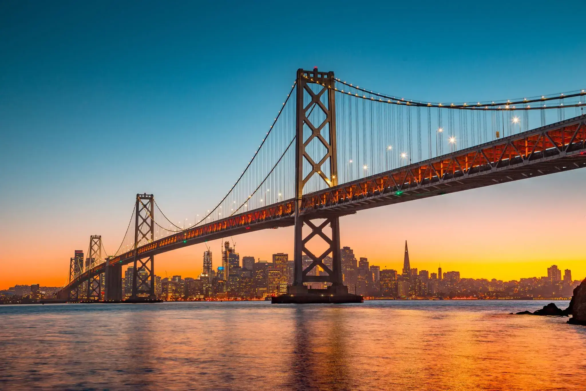
| 147 | 29.05 wt. | San Francisco / USA | 08:00 | 22:00 |
| 148 | 30.05 śr. | Dzień na morzu / Morze | 15:00 | |
| 150 | 1.06 pt. | San Diego, Kalifornia / USA | 06:00 | 17:00 |
| 151 | 2.06 sob. | Dzień na morzu / Morze | 15:00 | |
| 152 | 3.06 niedz. | Dzień na morzu / Morze | ||
| 153 | 4.06 pon. | Puerto Vallarta / Meksyk | 13:00 | 20:00 |
| 155 | 6.06 śr. | Dzień na morzu / Morze | 15:00 | |
| 156 | 7.06 czw. | Dzień na morzu / Morze | ||
| 157 | 8.06 pt. | Puerto Quetzal / Gwatemala | 06:00 | 20:00 |
| 158 | 9.06 sob. | Dzień na morzu / Morze | 15:00 | |
| 159 | 10.06 niedz. | Puntarenas / Costa Rica | 08:00 | 20:00 |
| 160 | 11.06 pon. | Dzień na morzu / Morze | 15:00 | |
| 161 | 12.06 wt. | Kanał Panamski / Panama | 05:00 | 17:00 |
| 162 | 13.06 śr. | Cartagena (Bolívar) / Kolumbia | 13:30 | |
| 163 | 14.06 czw. | Cartagena (Bolívar) / Kolumbia | 05:00 | |
| 164 | 15.06 pt. | Dzień na morzu / Morze | ||
| 165 | 16.06 sob. | Dzień na morzu / Morze | ||
| 166 | 17.06 niedz. | Miami / USA | 06:00 | 18:00 |
| 167 | 18.06 pon. | Dzień na morzu / Morze | ||
| 168 | 19.06 wt. | Dzień na morzu / Morze | ||
| 169 | 20.06 śr. | Nowy Jork / USA | 08:00 | 22:00 |
| 170 | 21.06 czw. | Dzień na morzu / Morze | 15:00 | |
| 171 | 22.06 pt. | Halifax / Kanada | 11:00 | 20:00 |
| 172 | 23.06 sob. | Dzień na morzu / Morze | 15:00 | |
| 173 | 24.06 niedz. | św. Jana | 08:00 | 20:00 |
| 174 | 25.06 pon. | Dzień na morzu / Morze | 15:00 | |
| 175 | 26.06 wt. | Dzień na morzu / Morze | ||
| 176 | 27.06 śr. | Dzień na morzu / Morze | ||
| 177 | 28.06 czw. | Dzień na morzu / Morze | ||
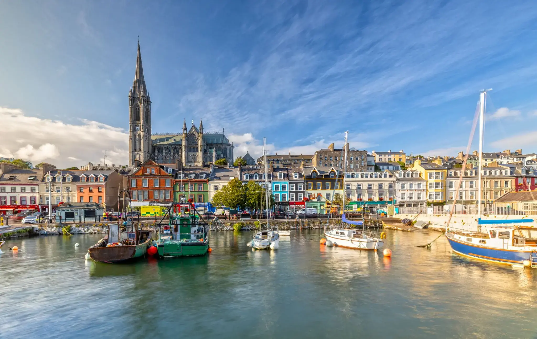
| 178 | 29.06 pt. | Cobh / Irlandia | 17:00 | |
| 179 | 30.06 sob. | Cobh / Irlandia | 16:00 | |
| 180 | 1.07 niedz. | Ceniłem | 08:00 | 16:00 |
| 181 | 2.07 pon. | Honfleur / Francja | 08:00 | 18:00 |
| 182 | 3.07 wt. | Tilbury (Londyn) / Wielka Brytania | 07:00 | 20:00 |
| 183 | 4.07 śr. | Używany | 08:00 | 20:00 |
| 184 | 5.07 czw. | Amsterdam / Holandia | 08:00 | 17:00 |
| 185 | 6.07 pt. | Kanał Kiloński / Niemcy | 09:00 | 21:00 |
| 186 | 7.07 sob. | Warnemünde / Niemcy | 07:30 | 22:00 |
| 187 | 8.07 niedz. | Ronne / Denmark | 08:00 | 17:00 |
| 188 | 9.07 pon. | Gdańsk / Polska | 08:00 | 20:00 |
| 189 | 10.07 wt. | Visby / Sweden | 11:30 | 18:00 |
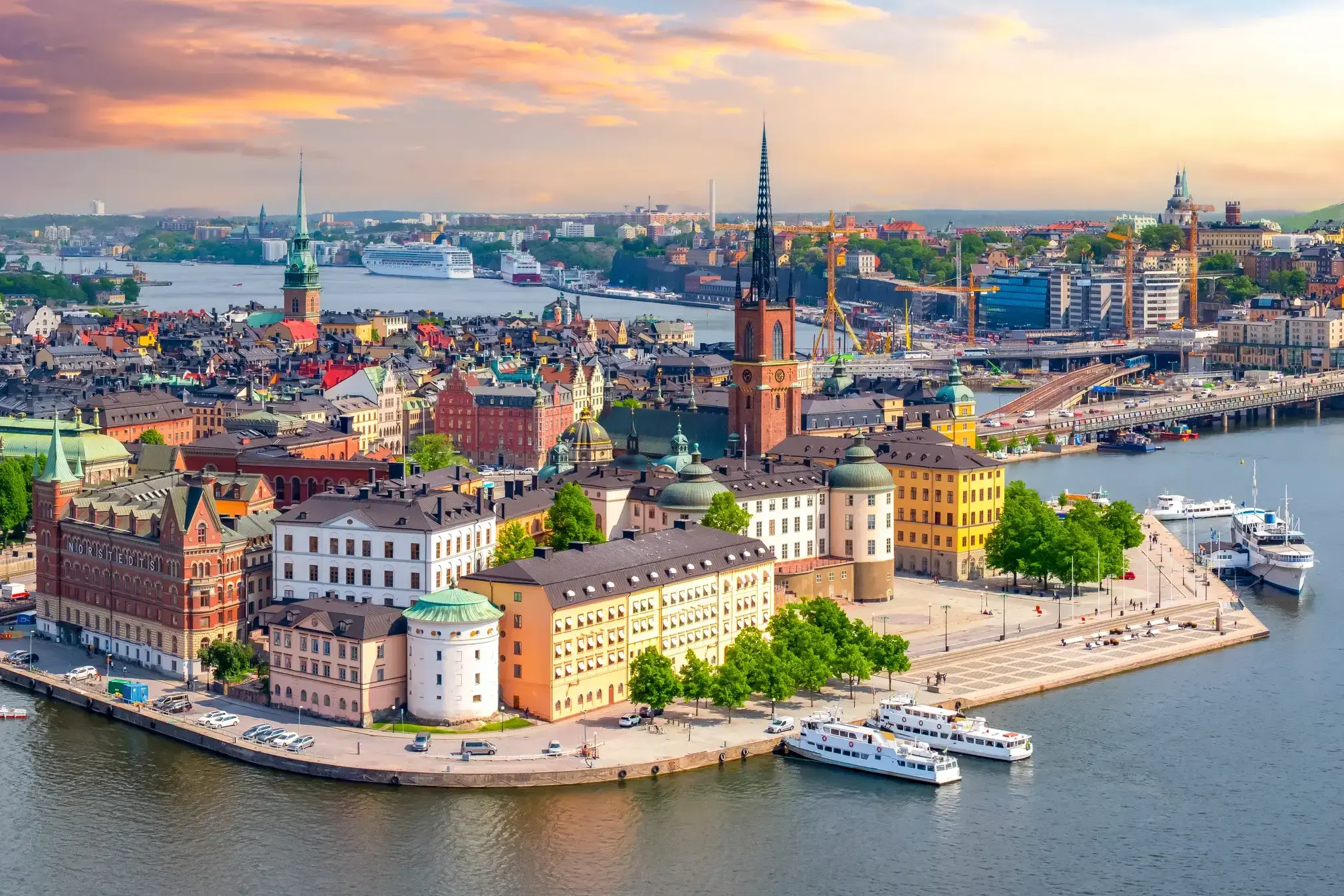
| 190 | 11.07 śr. | Sztokholm / Sweden | 07:00 | 20:00 |
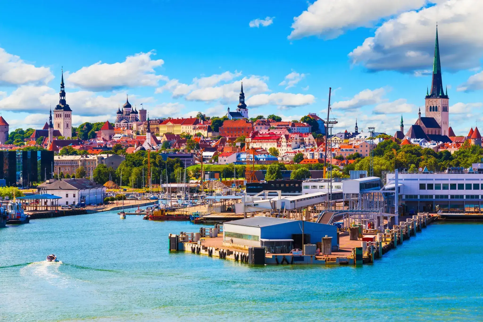
| 191 | 12.07 czw. | Tallinn / Estonia | 10:30 | 22:00 |
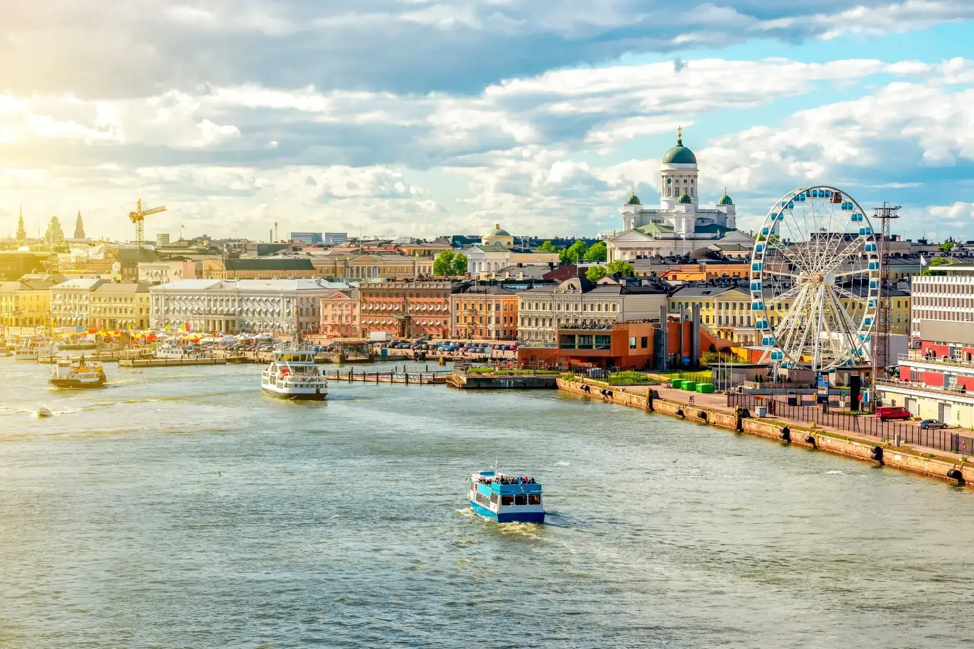
| 192 | 13.07 pt. | Helsinki / Finland | 08:00 | 22:00 |
| 193 | 14.07 sob. | Dzień na morzu / Morze | ||
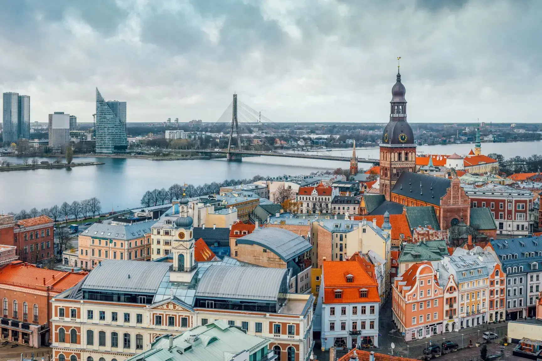
| 194 | 15.07 niedz. | Ryga / Łotwa | 08:00 | 17:30 |
| 195 | 16.07 pon. | Kłajpeda (Memel) / Litwa | 10:30 | 18:00 |
| 196 | 17.07 wt. | Bandol / Francja | 08:00 | 20:00 |
| 197 | 18.07 śr. | Kopenhaga / Denmark | 08:00 | |
| 198 | 19.07 czw. | Kopenhaga / Denmark | 07:00 |
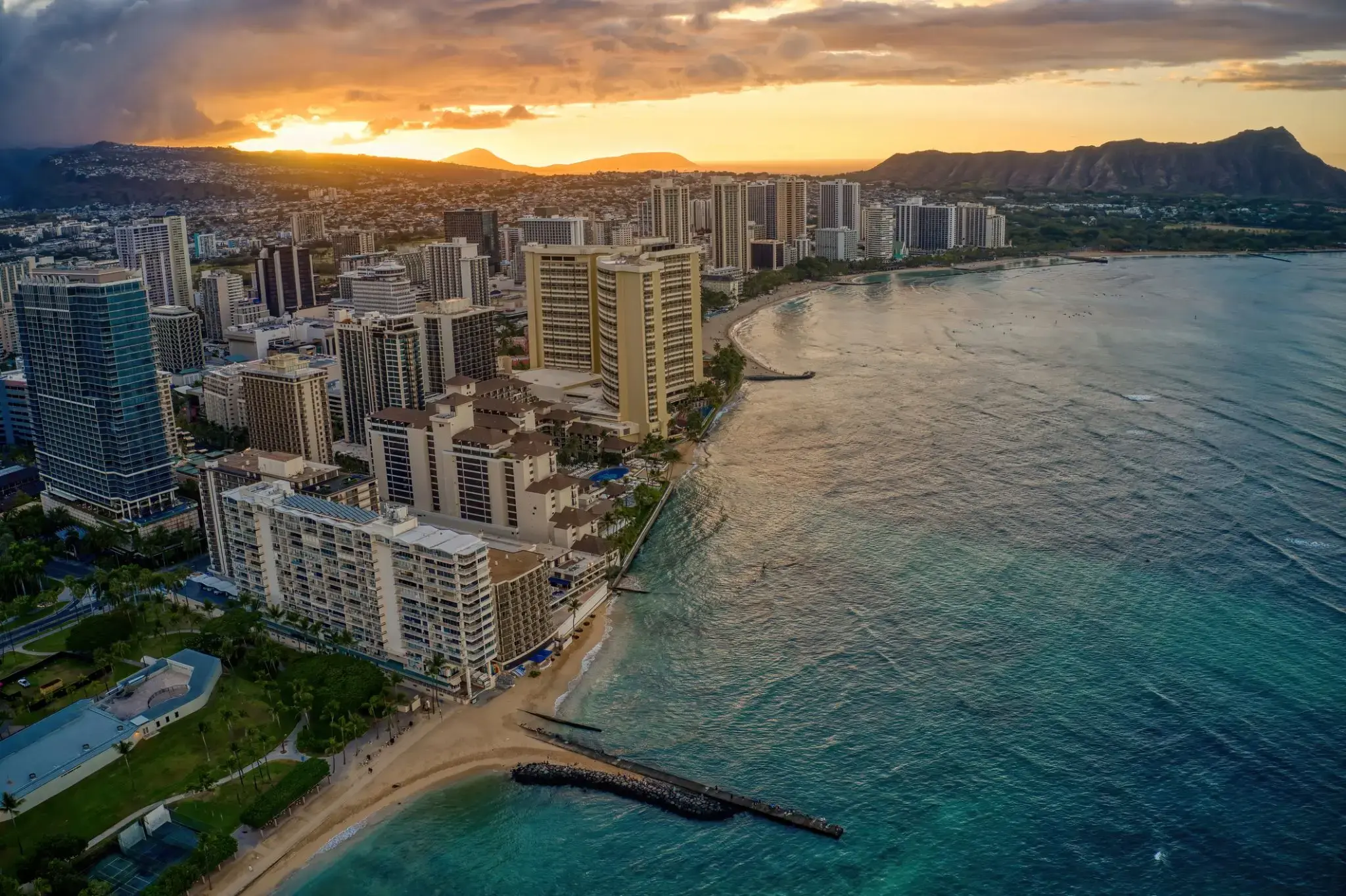
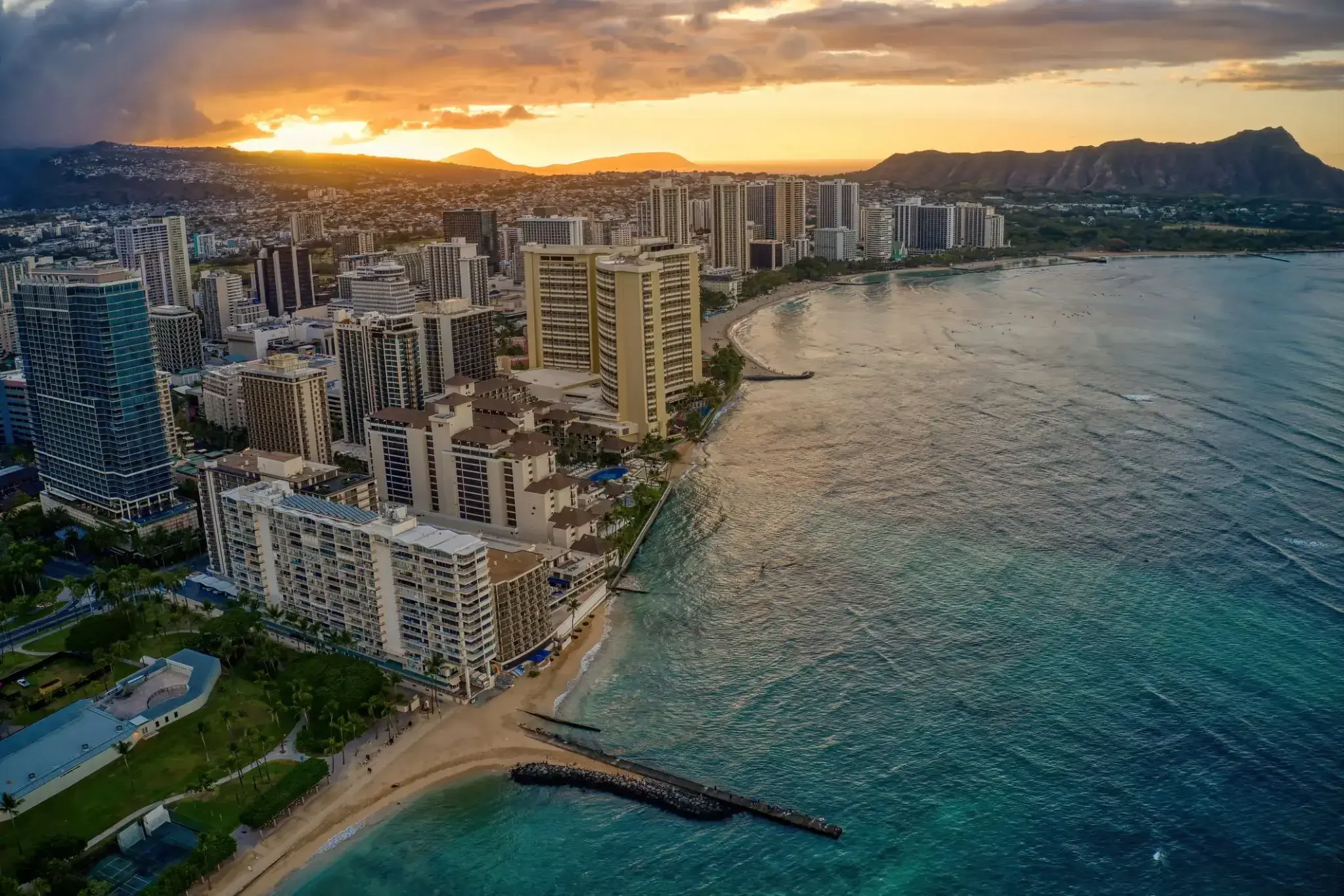
Honolulu is the capital and largest city of the U.S. state of Hawaiʻi. It is an unincorporated part of and the county seat of the City and County of Honolulu along the southeast coast of the island of Oʻahu. The city is the main gateway to Hawaiʻi and a major portal into the United States. The city is also a major hub for international business, military defense, as well as famously being host to a diverse variety of east-west and Pacific culture, cuisine, and traditions.
Honolulu is the most remote city of its size in the world and is the westernmost major U.S. city. For statistical purposes, the United States Census Bureau recognizes the approximate area commonly referred to as "City of Honolulu" (not to be confused with the "City and County") as a census county division (CCD). Honolulu is a major financial center of the islands and of the Pacific Ocean. The population of the Honolulu census designated place(CDP) was 359,870 as of the 2017 population estimate, while the Honolulu CCD was 390,738 and the population of the consolidated city and county was 953,207.
Honolulu means "sheltered harbor" or "calm port". The old name is Kou, a district roughly encompassing the area from Nuʻuanu Avenue to Alakea Street and from Hotel Street to Queen Street which is the heart of the present downtown district. The city has been the capital of the Hawaiian Islands since 1845 and gained historical recognition following the attack on Pearl Harbor by Japan near the city on December 7, 1941.
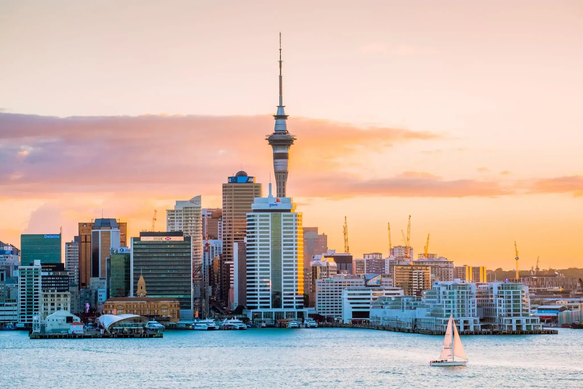
As of 2015, Honolulu was ranked high on world livability rankings, and was also ranked as the 2nd safest city in the U.S. It is also the most populated Oceanian city outside Australasia and ranks second to Auckland as the most-populous city in Polynesia.
Honolulu is the capital and largest city of the U.S. state of Hawaiʻi. It is an unincorporated part of and the county seat of the City and County of Honolulu along the southeast coast of the island of Oʻahu. The city is the main gateway to Hawaiʻi and a major portal into the United States. The city is also a major hub for international business, military defense, as well as famously being host to a diverse variety of east-west and Pacific culture, cuisine, and traditions.
Honolulu is the most remote city of its size in the world and is the westernmost major U.S. city. For statistical purposes, the United States Census Bureau recognizes the approximate area commonly referred to as "City of Honolulu" (not to be confused with the "City and County") as a census county division (CCD). Honolulu is a major financial center of the islands and of the Pacific Ocean. The population of the Honolulu census designated place(CDP) was 359,870 as of the 2017 population estimate, while the Honolulu CCD was 390,738 and the population of the consolidated city and county was 953,207.
Honolulu means "sheltered harbor" or "calm port". The old name is Kou, a district roughly encompassing the area from Nuʻuanu Avenue to Alakea Street and from Hotel Street to Queen Street which is the heart of the present downtown district. The city has been the capital of the Hawaiian Islands since 1845 and gained historical recognition following the attack on Pearl Harbor by Japan near the city on December 7, 1941.
As of 2015, Honolulu was ranked high on world livability rankings, and was also ranked as the 2nd safest city in the U.S. It is also the most populated Oceanian city outside Australasia and ranks second to Auckland as the most-populous city in Polynesia.
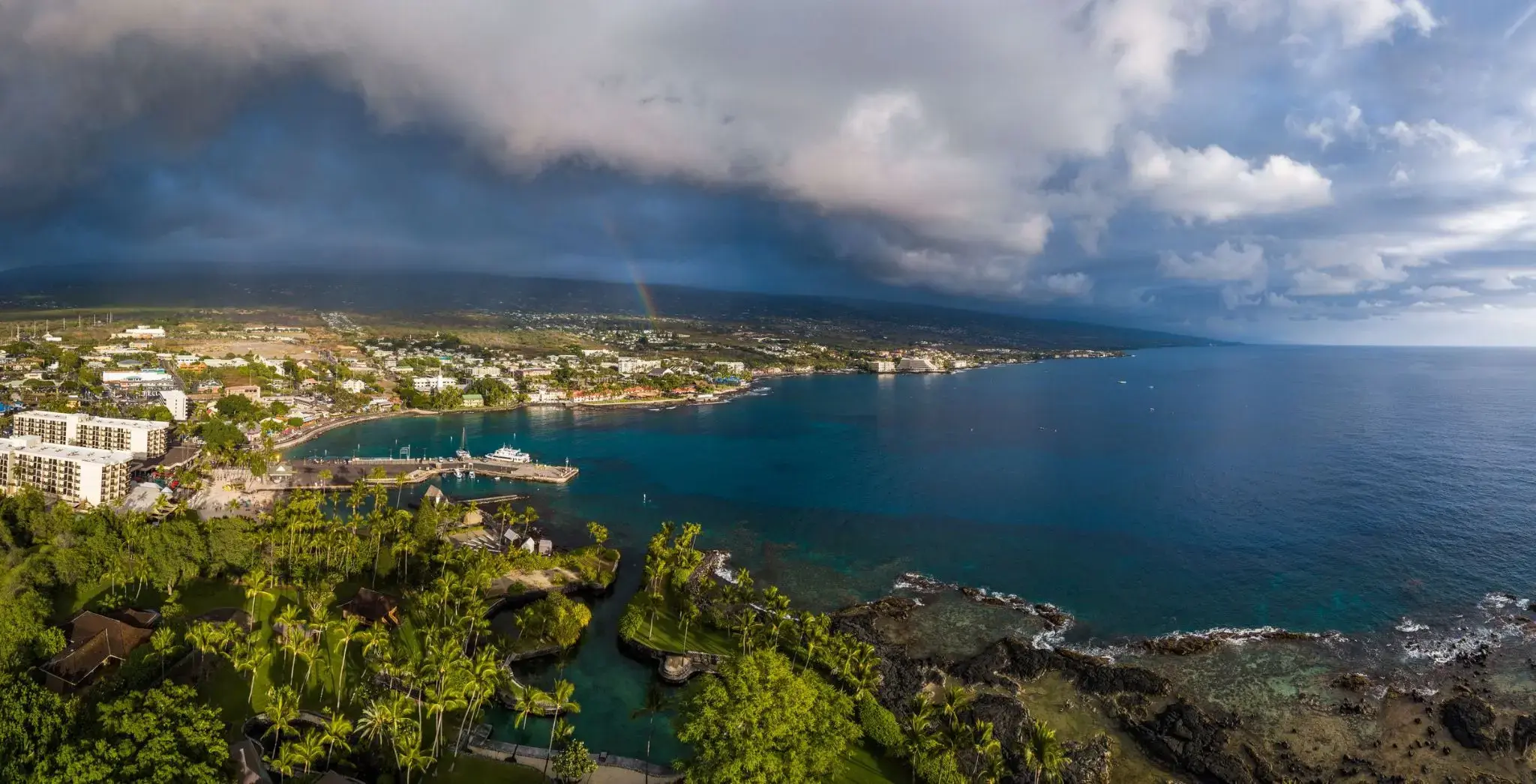
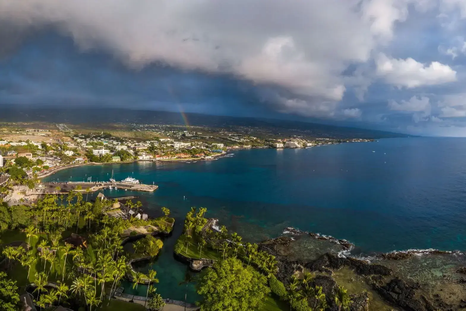
Kailua-Kona to malownicze nadmorskie miasteczko położone na zachodnim wybrzeżu wyspy Hawaje (znanej także jako Wielka Wyspa). Słynie z słonecznej pogody, spokojnych wód oraz bogatej historii — kiedyś była rezydencją króla Kamehamehy I, pierwszego zjednoczyciela wysp hawajskich. Promenada Alii Drive biegnąca wzdłuż oceanu oferuje spacery wśród historycznych budynków, sklepów, kawiarni i plaż z czarnym wulkanicznym piaskiem. Jedną z głównych atrakcji jest kościół Mokuaikaua — najstarszy chrześcijański kościół na Hawajach, zbudowany w 1820 roku.
Kailua-Kona jest popularnym miejscem wśród miłośników nurkowania i snorkelingu: w okolicznych wodach można zobaczyć manty, żółwie morskie i kolorowe tropikalne ryby. Niedaleko znajduje się Puʻuhonua o Hōnaunau National Historical Park — starożytne sanktuarium, które dawało schronienie łamiącym prawo kapu. Miasto jest również miejscem startu słynnych zawodów Ironman World Championship. To idealne miejsce dla tych, którzy szukają równowagi między naturą, kulturą i aktywnym wypoczynkiem.
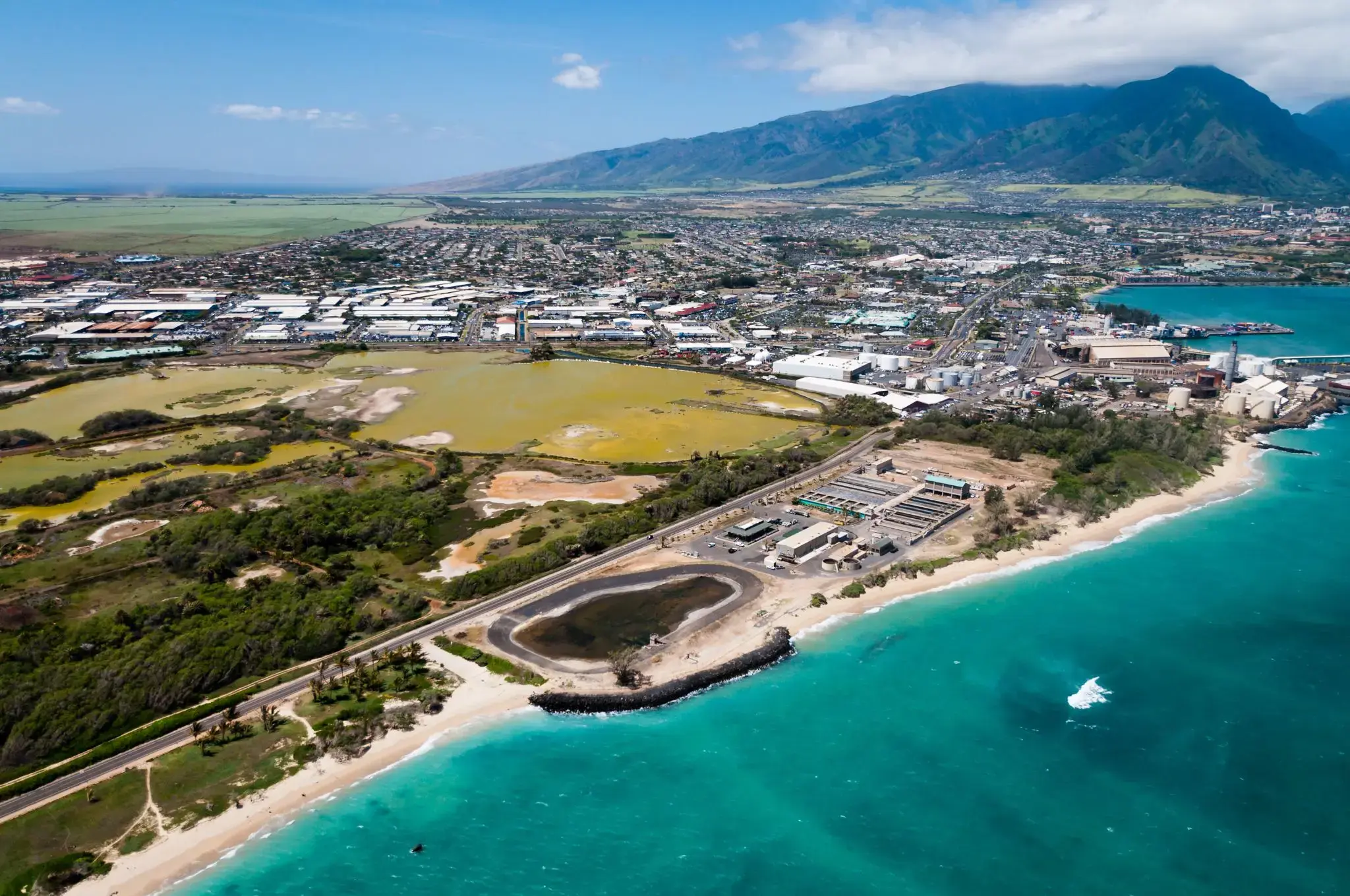
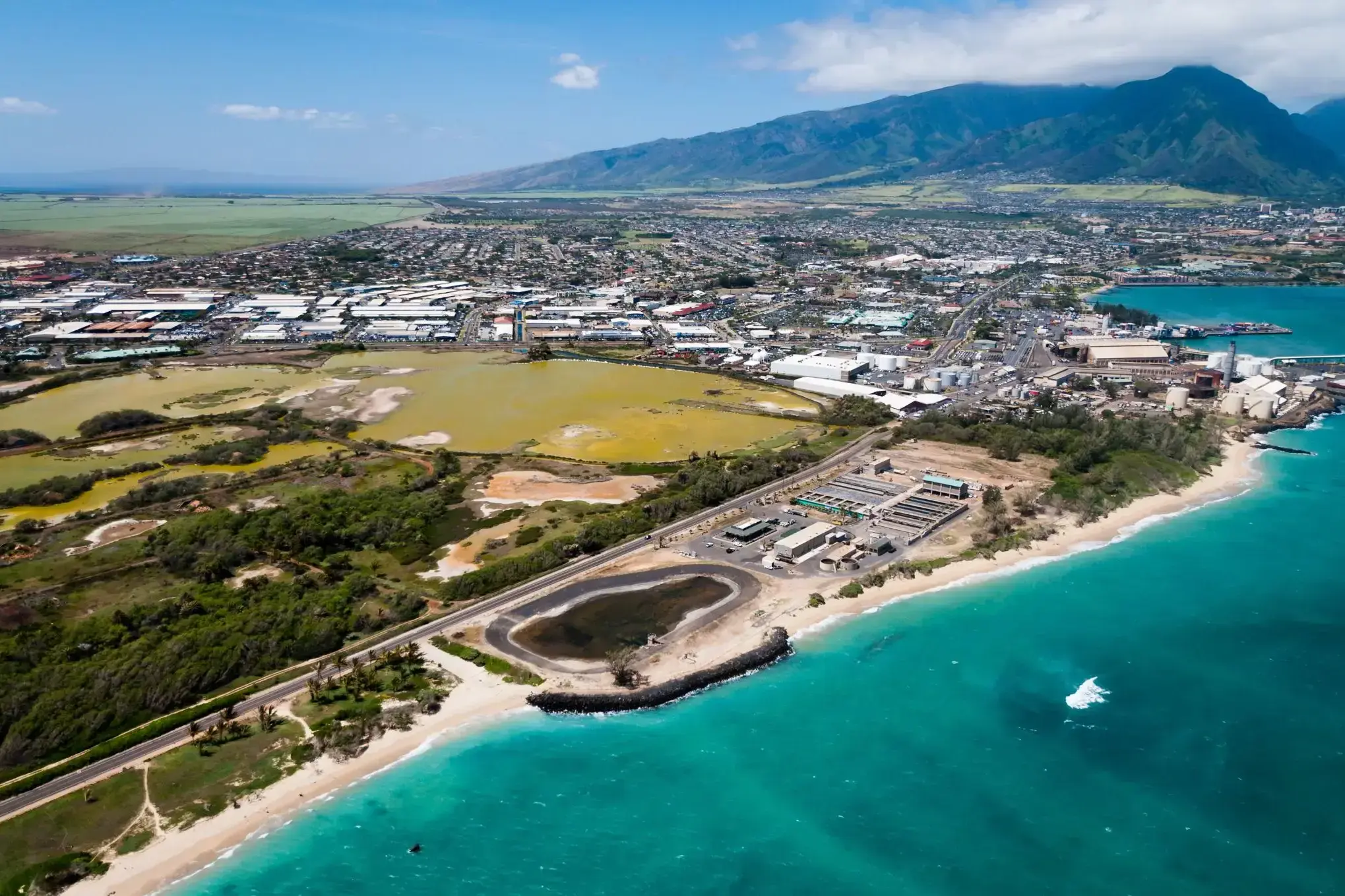
Kahului is a census-designated place (CDP) on the island of Maui in the U.S. state of Hawaii. It hosts Maui's main airport (Kahului Airport), deep-draft harbor, light industrial areas, and commercial shopping centers. The population was 26,337 at the 2010 census. Kahului is part of the Kahului-Wailuku-Lahaina Metropolitan Statistical Area which includes nearby Wailuku and the town and former whaling village of Lahaina.
The retail center for Maui residents, Kahului has several malls and major stores (including department stores in the Queen Kaahumanu Center); other significant groupings of stores are in Lāhainā such as the Lahaina Cannery Mall, the Happy Valley area of Wailuku, Maui Market Place and Maui Mall, which are both also located in Kahului; and The Shops at Wailea in Wailea.
Kahului is not generally considered a tourist destination. It does feature the Alexander & Baldwin Sugar Museum, Kanaha Pond State Wildlife Sanctuary, Kanaha Beach County Park, and the Maui Arts and Cultural Center.
Kahului is served by Kahului Airport, located outside the CDP.
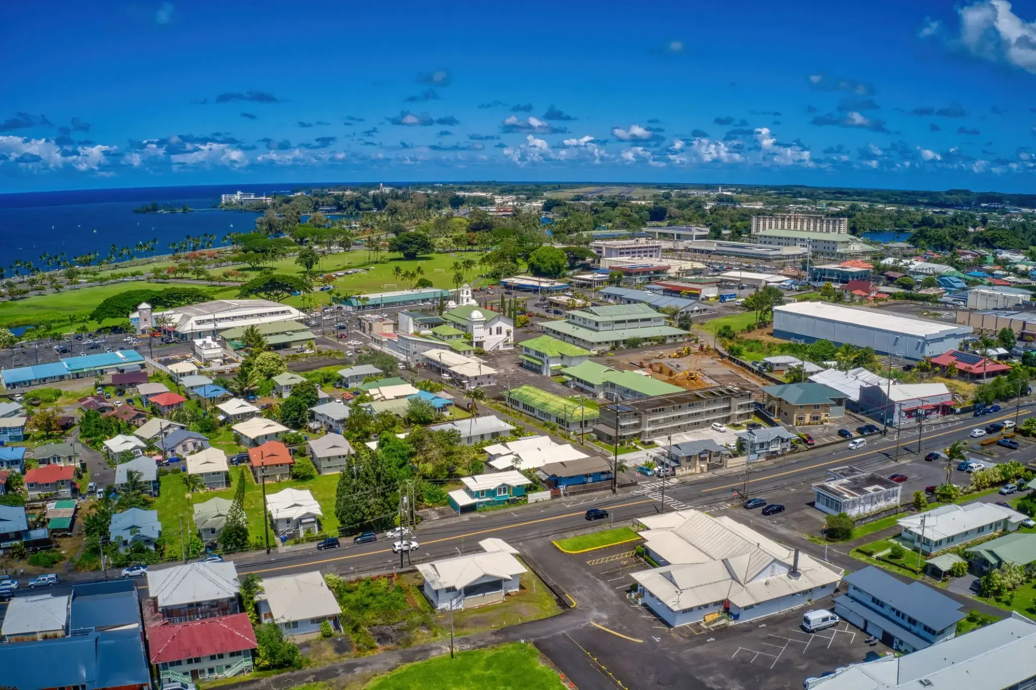
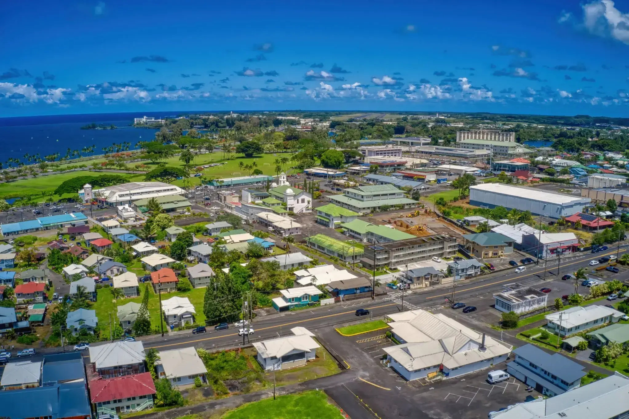
Hilo is the largest settlement and census-designated place (CDP) in Hawaii County, Hawaii, United States, which encompasses the Island of Hawaiʻi. The population was 43,263 at the 2010 census.
Hilo is the county seat of the County of Hawaiʻi and is in the District of South Hilo. The town overlooks Hilo Bay, at the base of two shield volcanoes, Mauna Loa, an active volcano, and Mauna Kea, a dormant volcano and the site of some of the world's most important ground-based astronomical observatories. Much of the city is at some risk from lava flows from Mauna Loa. The majority of human settlement in Hilo stretches from Hilo Bay to Waiākea-Uka, on the flanks of Mauna Loa.
Hilo is home to the University of Hawaiʻi at Hilo, ʻImiloa Astronomy Center of Hawaiʻi, as well as the Merrie Monarch Festival, a week-long celebration of ancient and modern hula that takes place annually after Easter. Hilo is also home to the Mauna Loa Macadamia Nut Corporation, one of the world's leading producers of macadamia nuts. The town is served by Hilo International Airport.
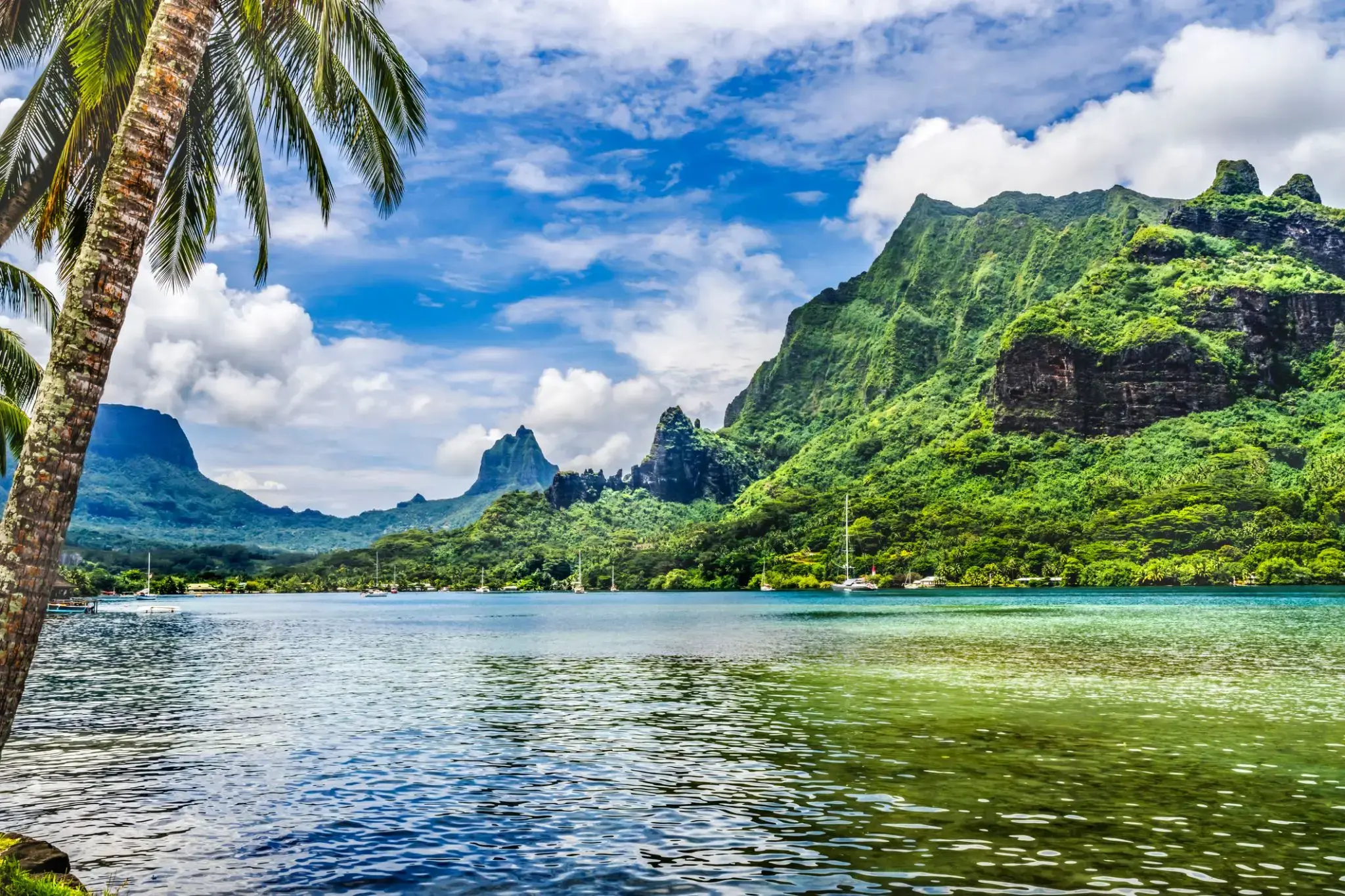
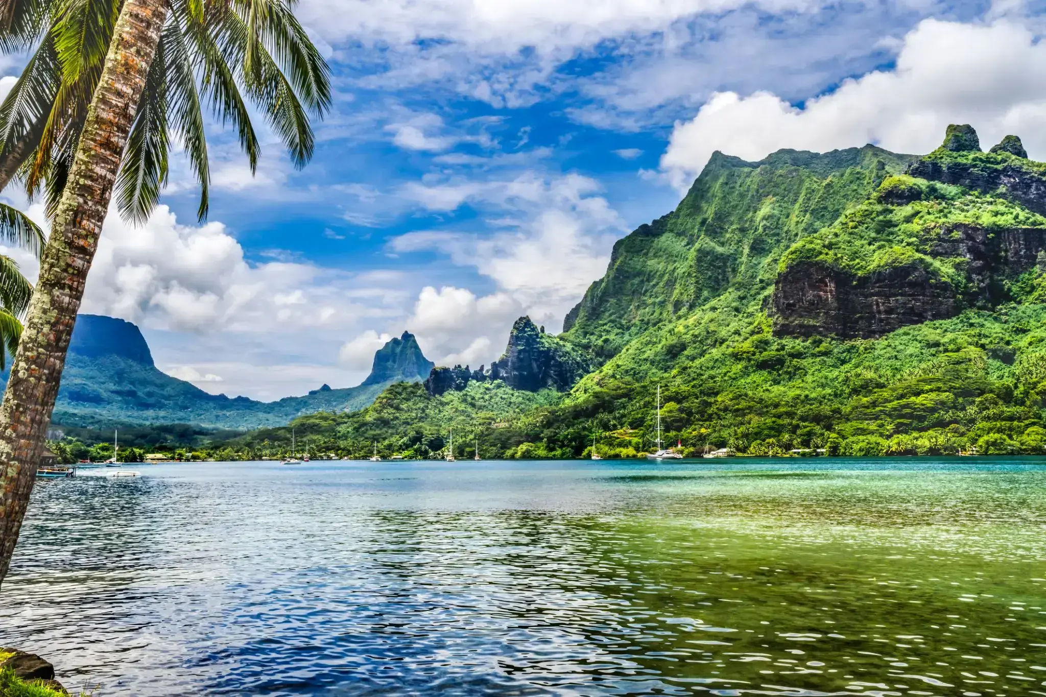
The island was formed as a volcano 1.5 to 2.5 million years ago, the result of a Society hotspot in the mantle under the oceanic plate that formed the whole of the Society Archipelago. It is theorized that the current bays were formerly river basins that filled during the Holocene searise.
Mo'orea is about 10 miles in width from the west to the east. There are two small, nearly symmetrical bays on the north shore. The one to the west is called 'Ōpūnohu Bay, which is not very populated but many travelers have come into the bay. The main surrounding communes of the bay are Piha'ena in the east and Papetō'ai to the west. The one to the east is Cook's Bay, also called Pao Pao Bay since the largest commune of Mo'orea is at the bottom of the bay. The other communes are Piha'ena to the west and busy Maharepa to the east. The highest point is Mount Tohi'e'a, near the center of Mo'orea. It dominates the vista from the two bays and can be seen from Tahiti. There are also hiking trails in the mountains. The Vai'are Bay is another small inlet, smaller than the two main bays, on the east shore. This bay has been settled a lot and has a lot of business. The main village is located just south of the bay.
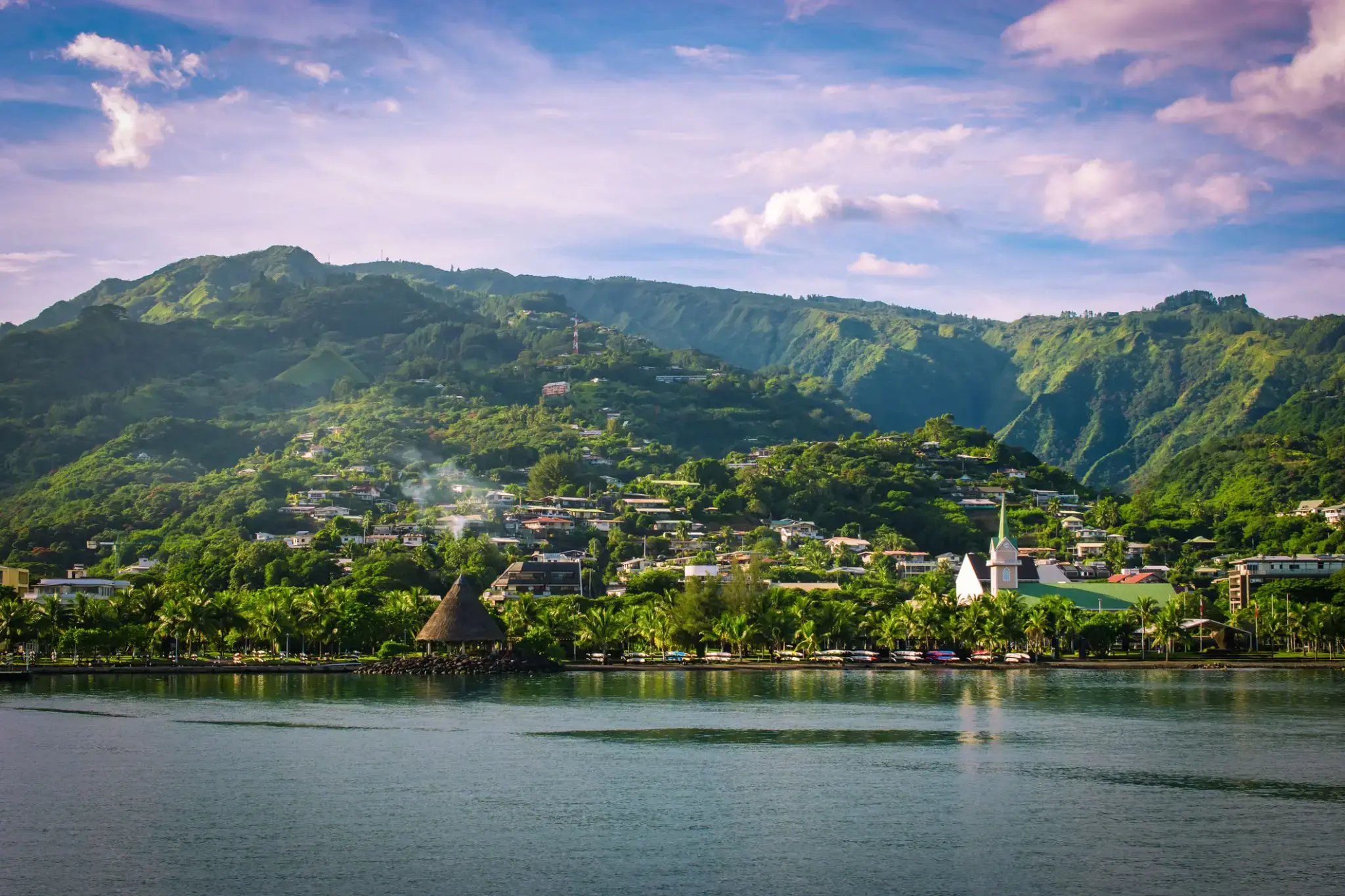
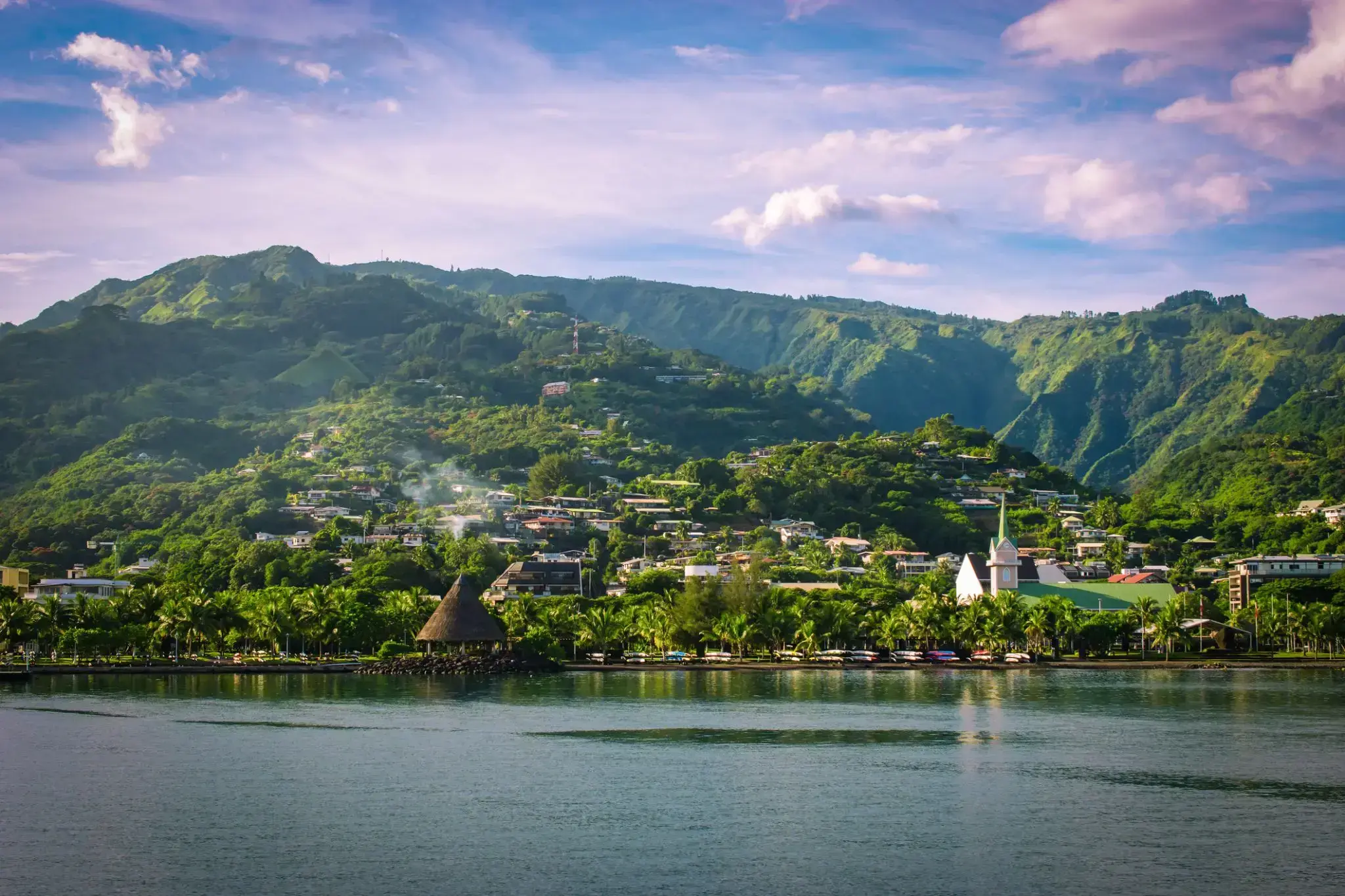
Papeete is the capital city of French Polynesia, an overseas collectivity of France in the Pacific Ocean. The commune of Papeete is located on the island of Tahiti, in the administrative subdivision of the Windward Islands, of which Papeete is the administrative capital. The French High Commissioner also resides in Papeete. It is the primary center of Tahitian and French Polynesian public and private governmental, commercial, industrial and financial services, the hub of French Polynesian tourism and a commonly used port of call. The Windward Islands are themselves part of the Society Islands. The name Papeete means "water from a basket".
The urban area of Papeete had a total population of 136,771 inhabitants at the August 2017 census, 26,926 of whom lived in the commune of Papeete proper.
The island was formed as a volcano 1.5 to 2.5 million years ago, the result of a Society hotspot in the mantle under the oceanic plate that formed the whole of the Society Archipelago. It is theorized that the current bays were formerly river basins that filled during the Holocene searise.
Mo'orea is about 10 miles in width from the west to the east. There are two small, nearly symmetrical bays on the north shore. The one to the west is called 'Ōpūnohu Bay, which is not very populated but many travelers have come into the bay. The main surrounding communes of the bay are Piha'ena in the east and Papetō'ai to the west. The one to the east is Cook's Bay, also called Pao Pao Bay since the largest commune of Mo'orea is at the bottom of the bay. The other communes are Piha'ena to the west and busy Maharepa to the east. The highest point is Mount Tohi'e'a, near the center of Mo'orea. It dominates the vista from the two bays and can be seen from Tahiti. There are also hiking trails in the mountains. The Vai'are Bay is another small inlet, smaller than the two main bays, on the east shore. This bay has been settled a lot and has a lot of business. The main village is located just south of the bay.
Papeete is the capital city of French Polynesia, an overseas collectivity of France in the Pacific Ocean. The commune of Papeete is located on the island of Tahiti, in the administrative subdivision of the Windward Islands, of which Papeete is the administrative capital. The French High Commissioner also resides in Papeete. It is the primary center of Tahitian and French Polynesian public and private governmental, commercial, industrial and financial services, the hub of French Polynesian tourism and a commonly used port of call. The Windward Islands are themselves part of the Society Islands. The name Papeete means "water from a basket".
The urban area of Papeete had a total population of 136,771 inhabitants at the August 2017 census, 26,926 of whom lived in the commune of Papeete proper.
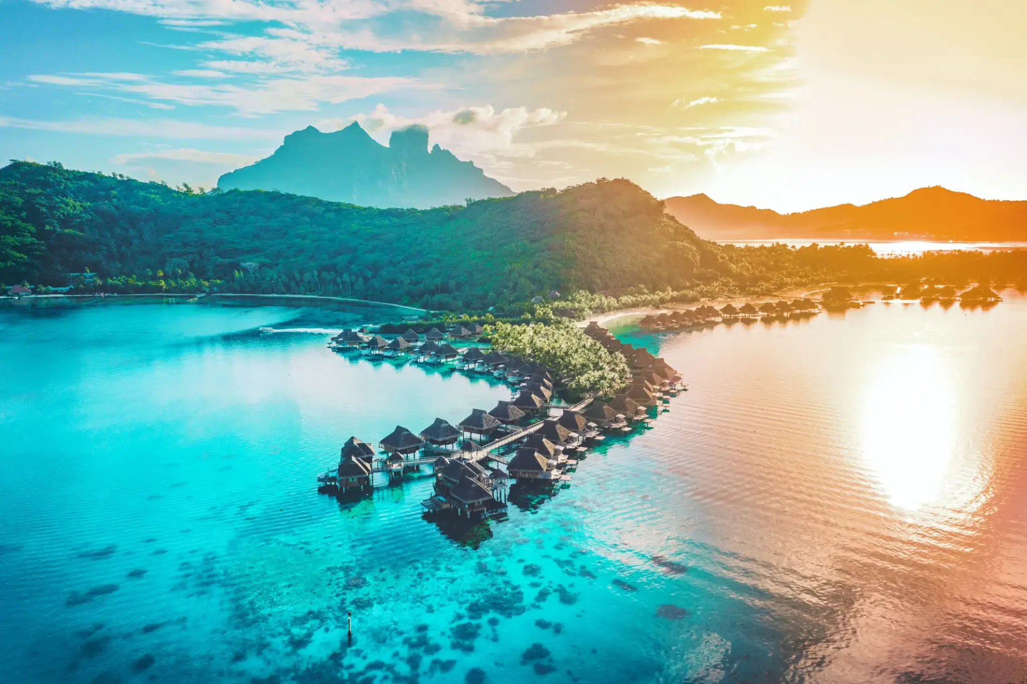
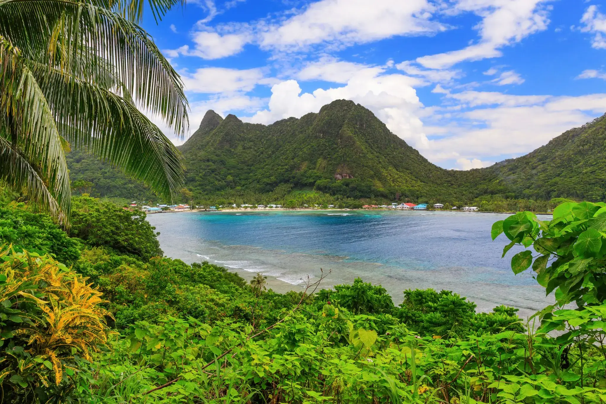
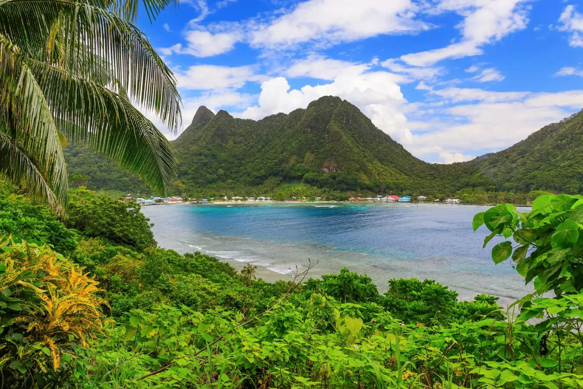
Pago Pago is the territorial capital of American Samoa. It is in Maoputasi County on the main island of American Samoa, Tutuila. It is home to one of the best and deepest natural deepwater harbors in the South Pacific Ocean, sheltered from wind and rough seas, and strategically located. The harbor is also one of the best protected in the South Pacific, which gives American Samoa a natural advantage with respect to landing fish for processing. Tourism, entertainment, food, and tunacanning are its main industries. Pago Pago was the world's 4th largest tuna processor as of 1993. It was home to two of the largest tuna companies in the world: Chicken of the Sea and StarKist, which exported an estimated $445 million in canned tuna to the U.S. mainland.
Pago Pago is the only modern urban center in American Samoa. The Greater Pago Pago Metropolitan Area encompasses several villages strung together along Pago Pago Harbor. One of the villages is itself named Pago Pago, and in 2010 had a population of 3,656. The constituent villages are, in order, Utulei, Fagatogo, Malaloa, Pago Pago, Satala and Atu'u. Fagatogo is the downtown area referred to as Town and is home to the legislature, while the executive is located in Utulei. In Fagatogo is the Fono, Police Department, Port of Pago Pago, many shops and hotels. The Greater Pago Pago Area was home to 8,000 residents in 2000.
Rainmaker Mountain (Mount Pioa) is located in Pago Pago, and gives the city the highest annual rainfall of any harbor in the world.
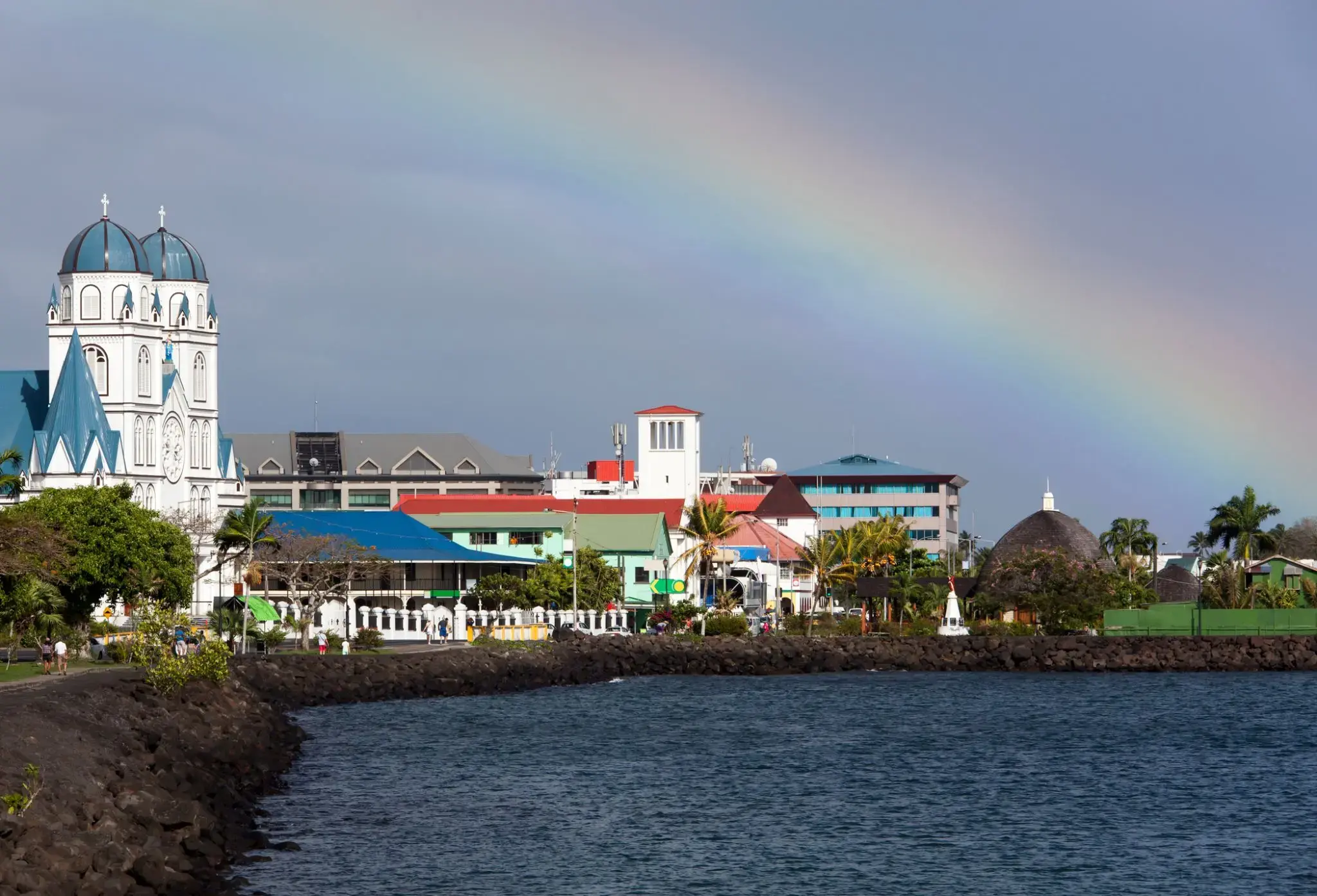
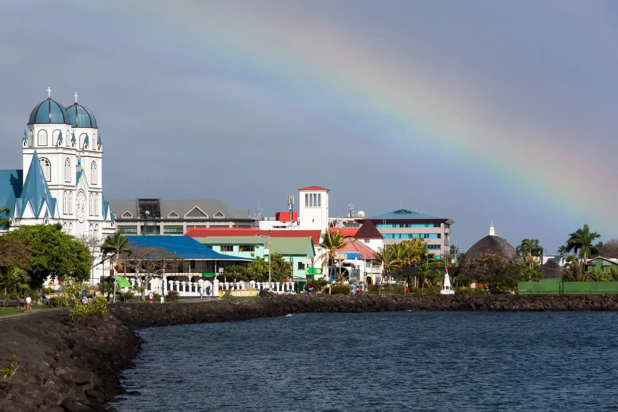
Apia is the capital and the largest city of Samoa. From 1900 to 1919, it was the capital of German Samoa. The city is located on the central north coast of Upolu, Samoa's second largest island. Apia is the only city in Samoa and falls within the political district (itūmālō) of Tuamasaga.
The Apia Urban Area has a population of 36,735 (2011 census) and is generally referred to as the City of Apia. The geographic boundaries of Apia Urban Area is mainly from Letogo village to the new industrialized region of Apia known as Vaitele.
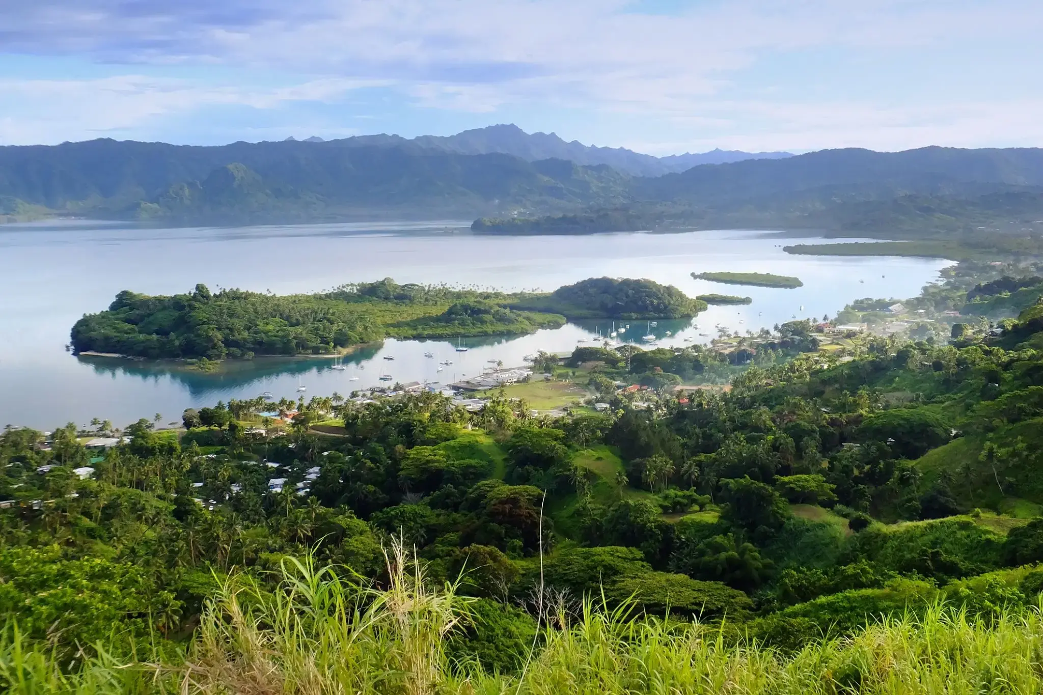
Savusavu is a town in the Fijian Province of Cakaudrove. The town is located on the south coast of Vanua Levu Island and had a population of 3,372 in the 2007 census.
Savusavu is known as "the hidden paradise of Fiji."
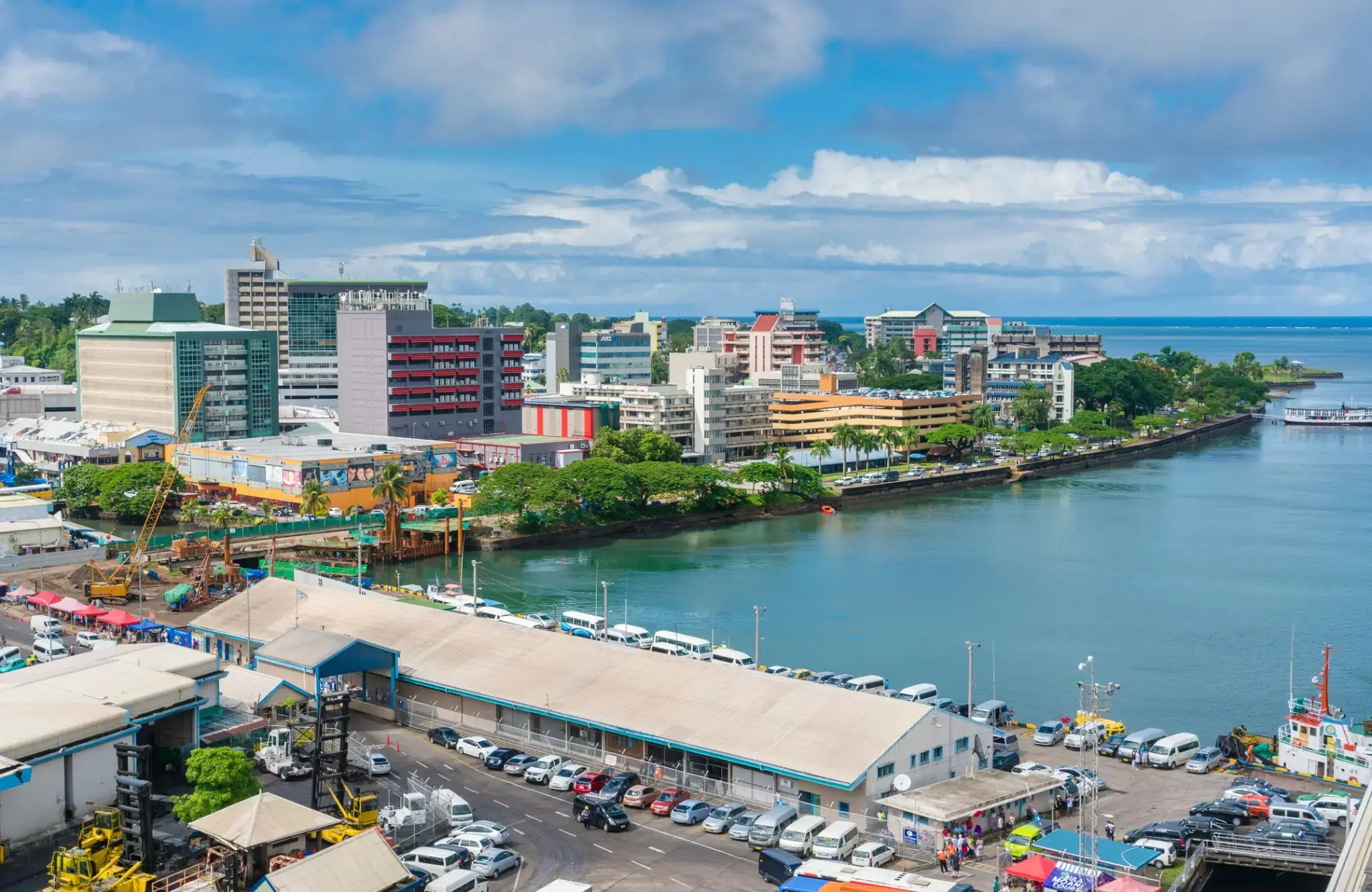
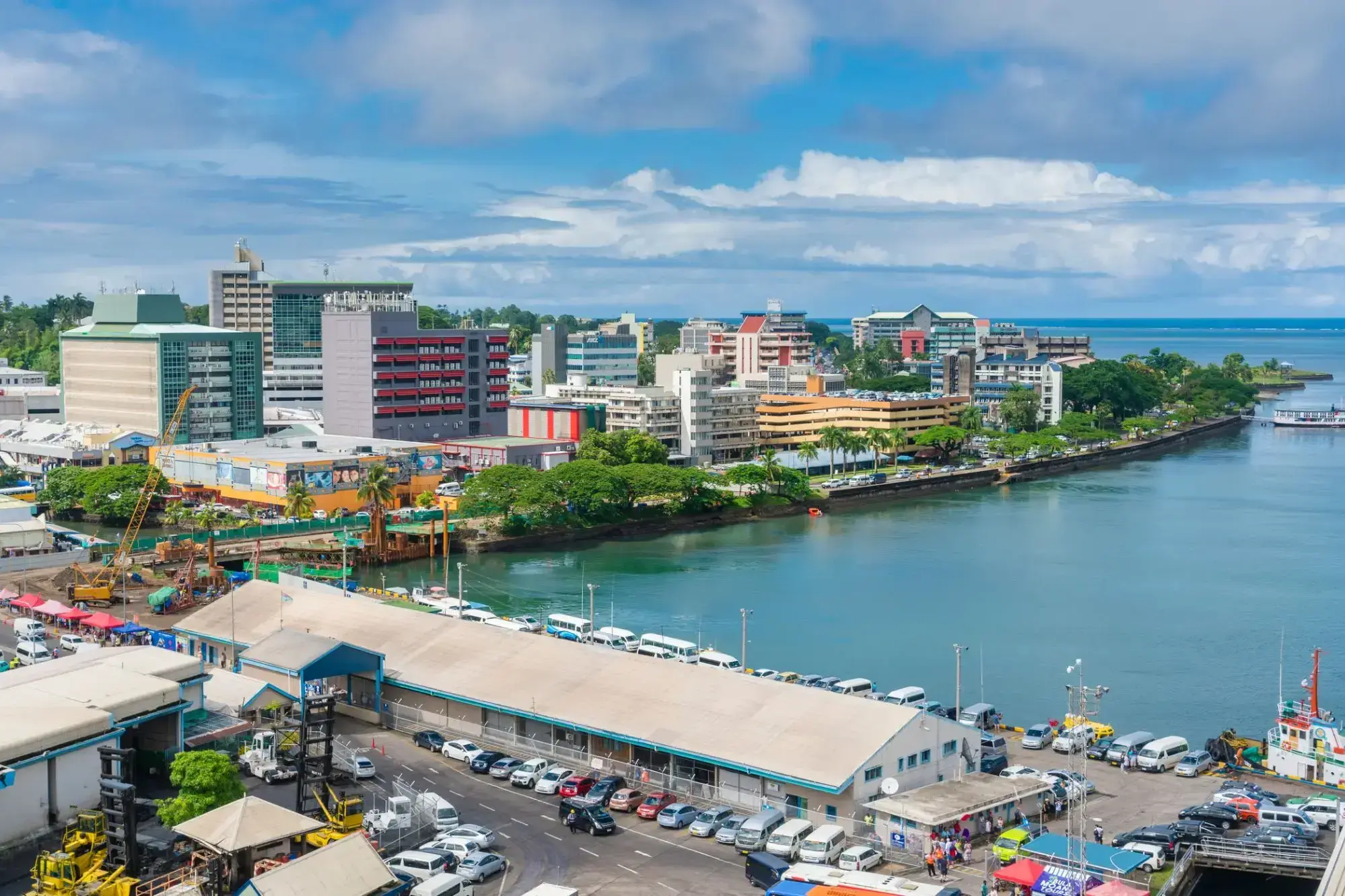
Suva is the capital and largest metropolitan city in Fiji. It is located on the southeast coast of the island of Viti Levu, in the Rewa Province, Central Division.
In 1877, it was decided to make Suva the capital of Fiji, as the geography of former main European settlement at Levuka on the island of Ovalau, Lomaiviti province proved too restrictive. The administration of the colony was moved from Levuka to Suva in 1882.
At the 2007 census, the city of Suva had a population of 85,691. Including independent suburbs, the population of the Greater Suva urban area was 172,399 at the 2007 census. Suva, along with the bordering towns of Lami, Nasinu, and Nausori have a total urban population of around 330,000, over a third of the nation's population. This urban complex (not including Lami) is known also as the Suva-Nausori corridor.
Suva is the political, economic, and cultural centre of Fiji. It is also the economic and cultural capital of the Pacific, hosting the majority of regional headquarters of major corporations, as well as international agencies and diplomatic missions in the region. The city also has a thriving arts and performance scene, with a growing reputation as the region’s fashion capital.
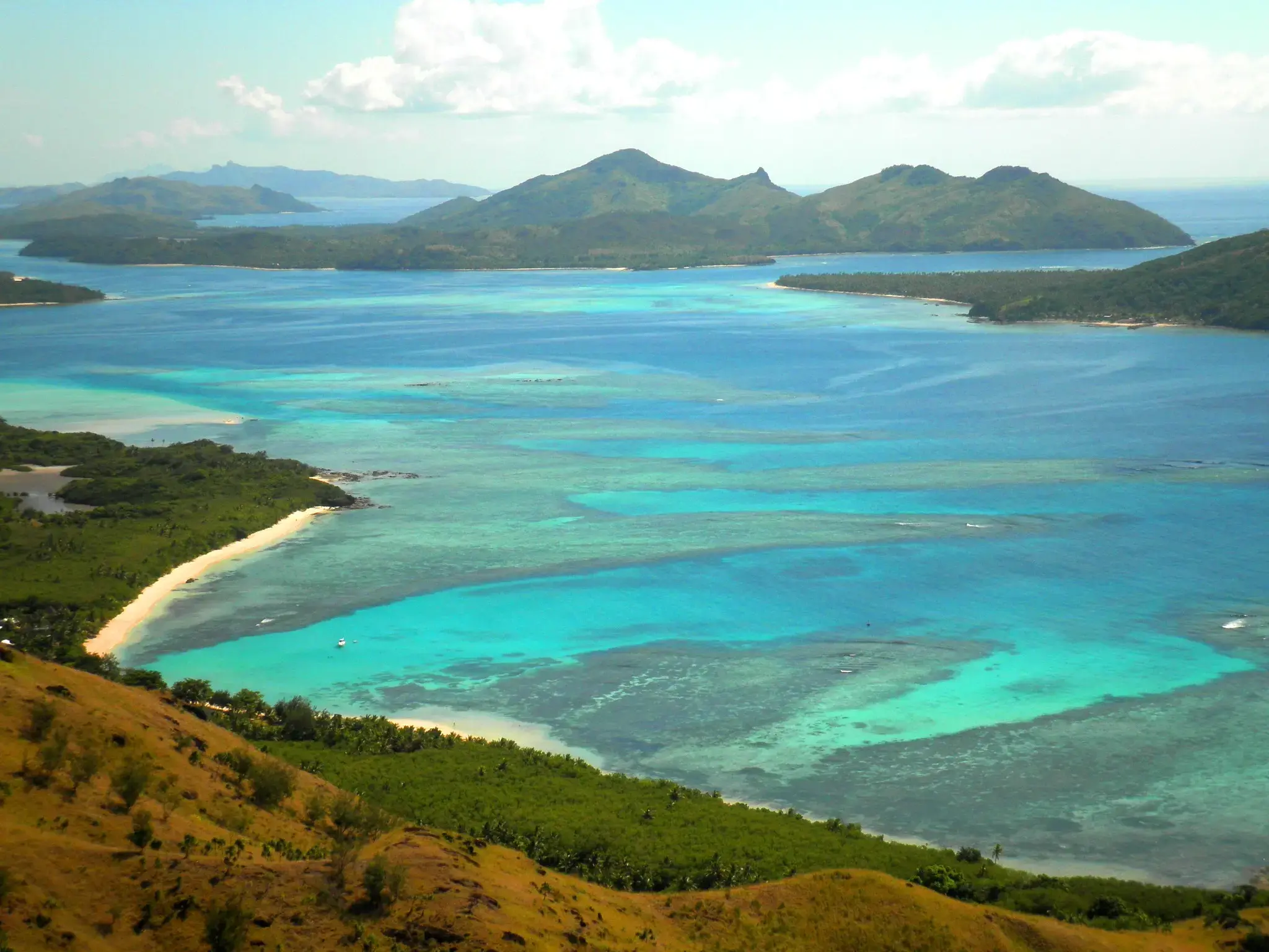
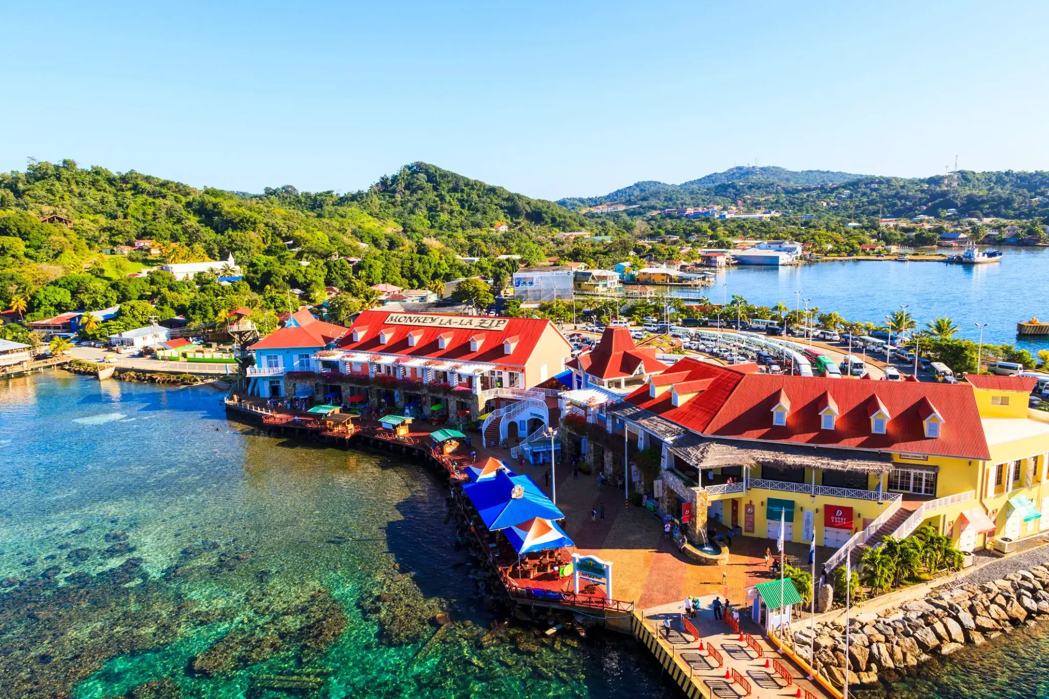
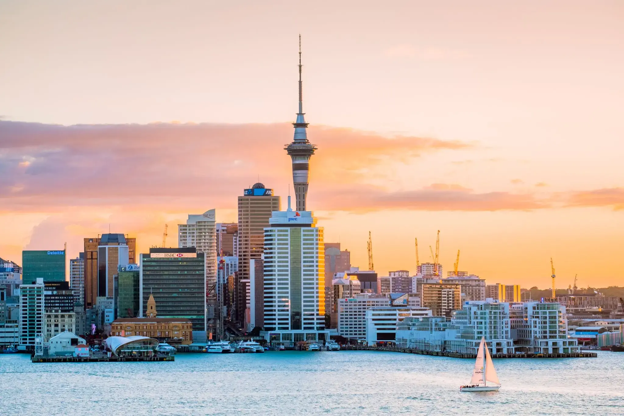
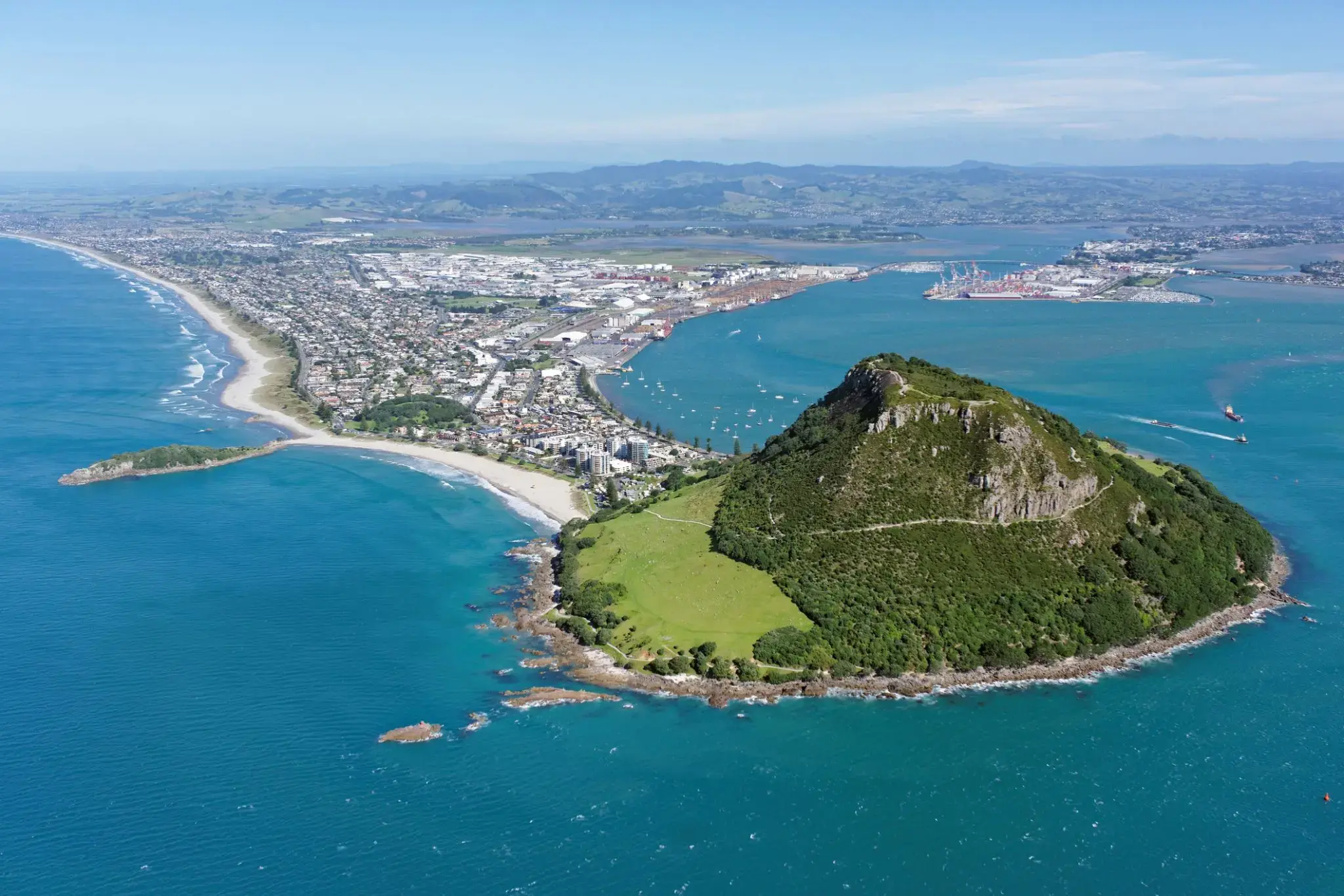
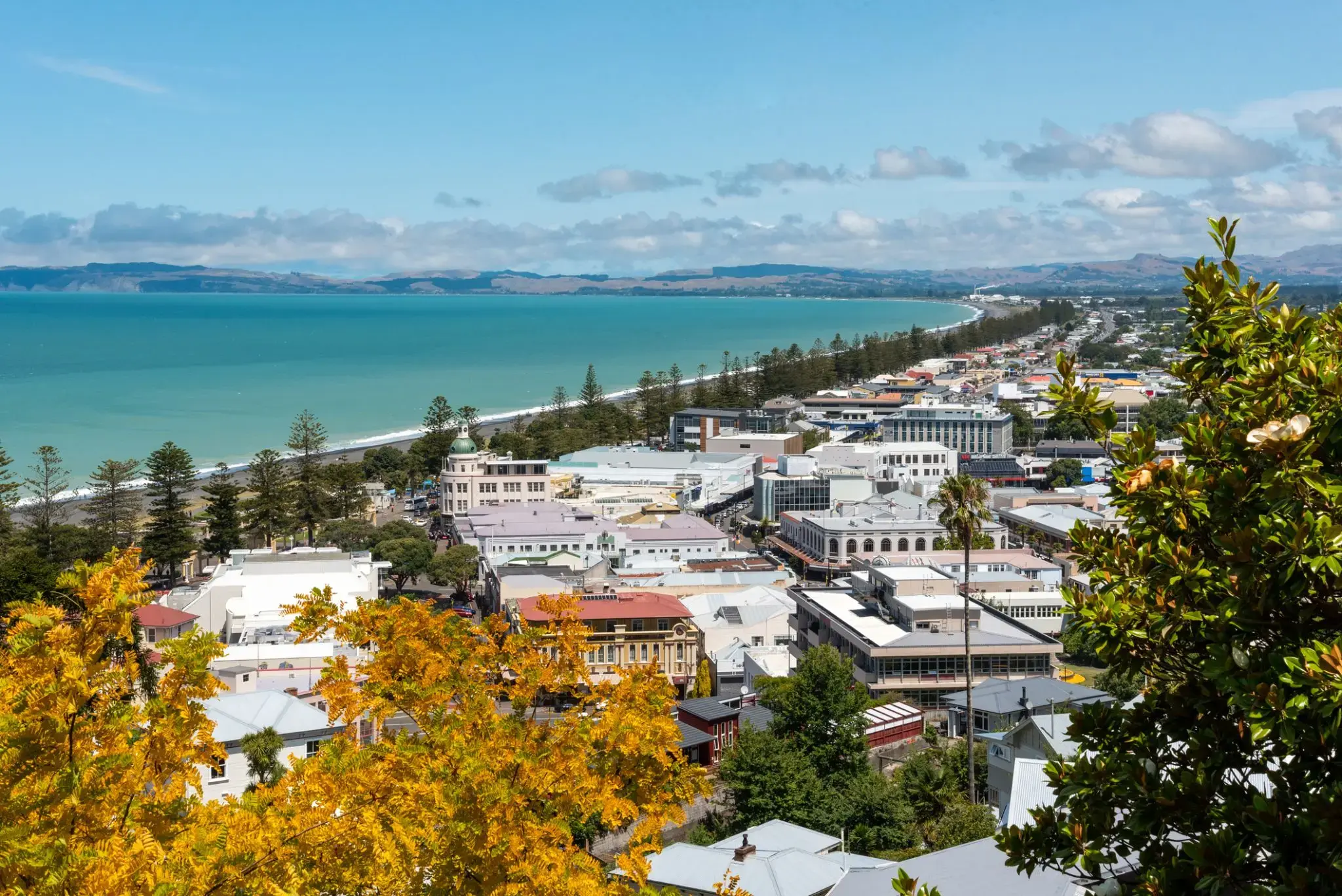
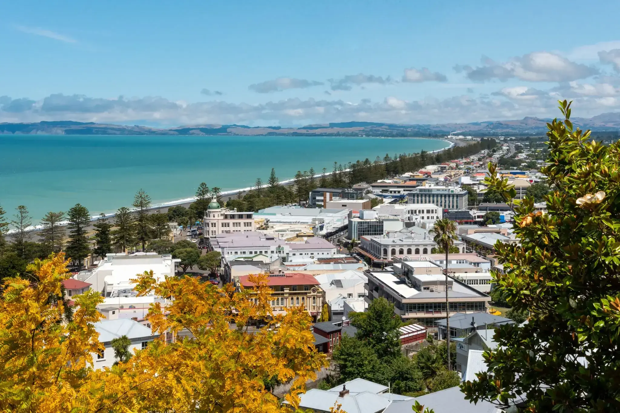
Napier is a New Zealand city with a seaport, located in Hawke's Bay on the eastern coast of the North Island. The population of Napier is about 63,900 as of the June 2018. About 18 kilometres (11 mi) south of Napier is the inland city of Hastings. These two neighbouring cities are often called "The Bay Cities" or "The Twin Cities" of New Zealand. The total population of the Napier-Hastings Urban Area is 134,500 people, which makes it the sixth-largest urban area in New Zealand, closely followed by Dunedin (122,000), and trailing Tauranga(141,600).
Napier is about 320 kilometres (200 mi) northeast of the capital city of Wellington. Napier (63,900) has a smaller population than its neighbouring city of Hastings (70,600) but is seen as the main centre due to it being closer in distance to both the seaport and the main airport that service Hawke's Bay, and Hastings' population figure includes 13,000 people living in Havelock North, which is often considered a town in its own right. The City of Napier has a land area of 106 square kilometres (41 sq mi) and a population density of 540.0 per square kilometre.
Napier is the nexus of the largest wool centre in the Southern Hemisphere, and it has the primary export seaport for northeastern New Zealand – which is the largest producer of apples, pears, and stone fruit in New Zealand. Napier has also become an important grape and wine production area, with the grapes grown around Hastings and Napier being sent through the Port of Napier for export. Large amounts of sheep's wool, frozen meat, wood pulp, and timber also pass through Napier annually for export. Smaller amounts of these materials are shipped via road and railway to the large metropolitan areas of New Zealand itself, such as Auckland, Wellington and Hamilton.
Napier is a popular tourist city, with a unique concentration of 1930s Art Deco architecture, built after much of the city was razed in the 1931 Hawke's Bay earthquake. It also has one of the most photographed tourist attractions in the country, a statue on Marine Parade called Pania of the Reef. Thousands of people flock to Napier every February for the Tremains Art Deco Weekend event, a celebration of its Art Deco heritage and history. Other notable tourist events attracting many outsiders to the region annually include F.A.W.C! Food and Wine Classic events, and the Mission Estate Concert at Mission Estate and Winery in the suburb of Taradale.
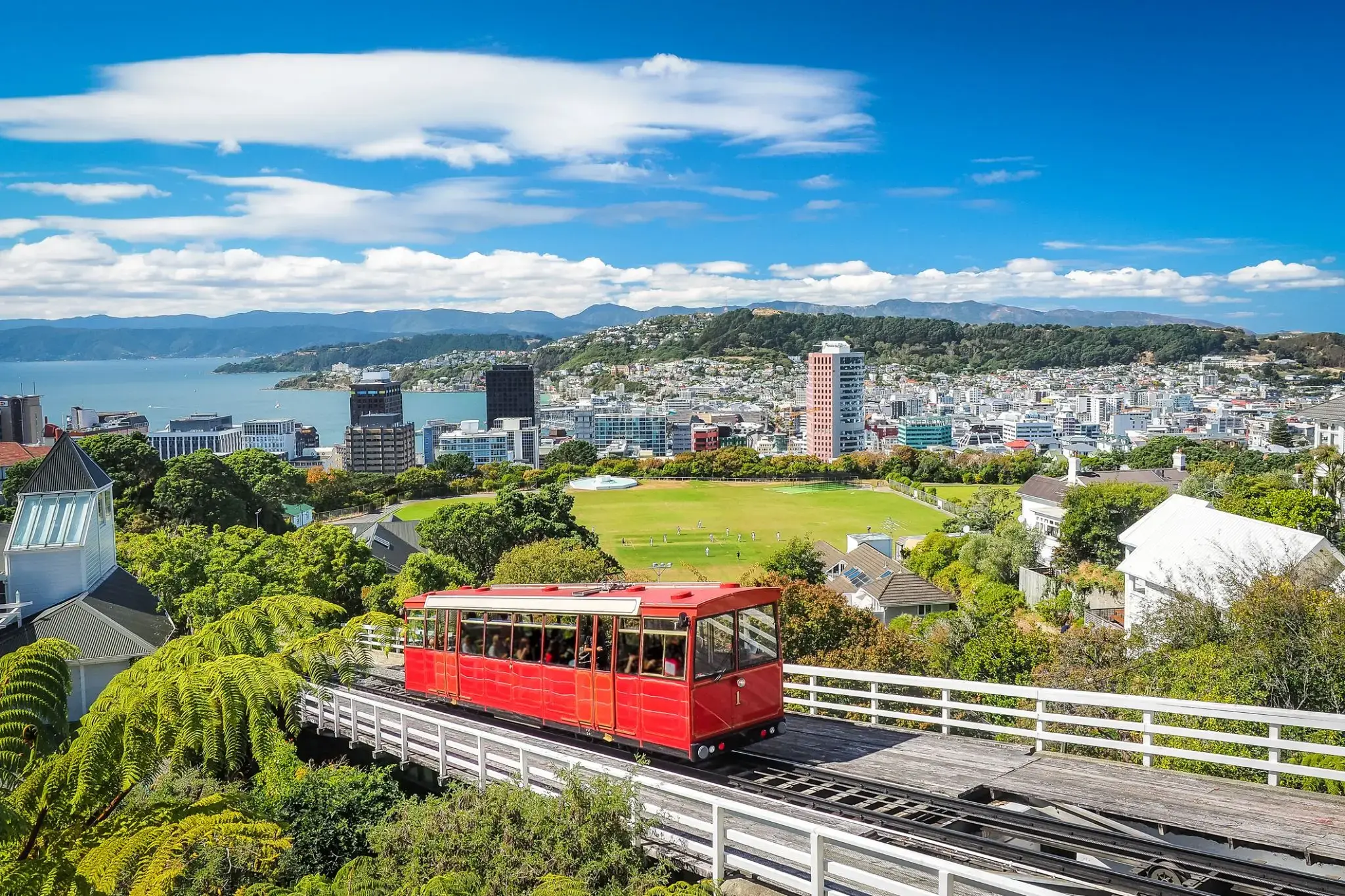
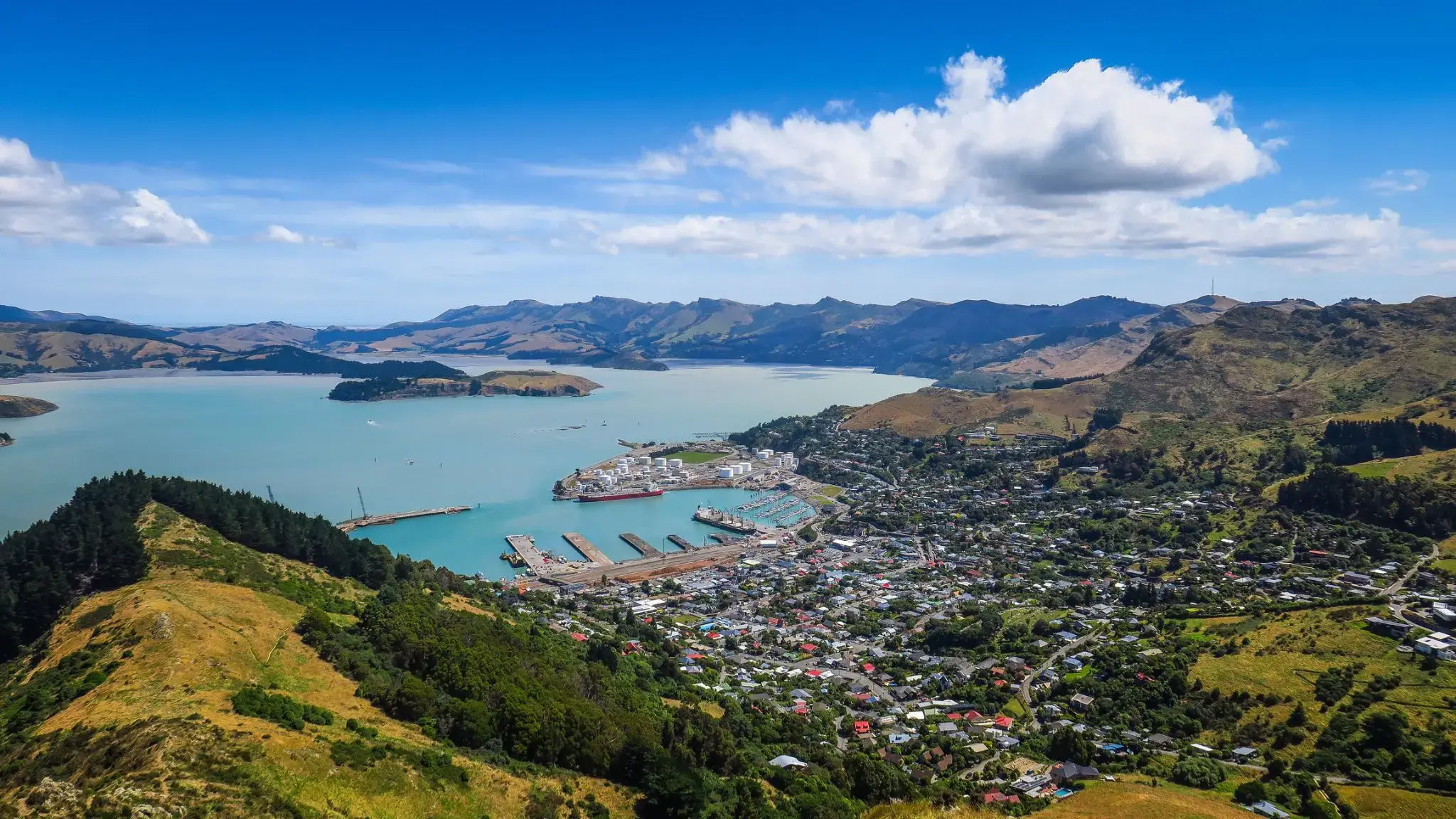
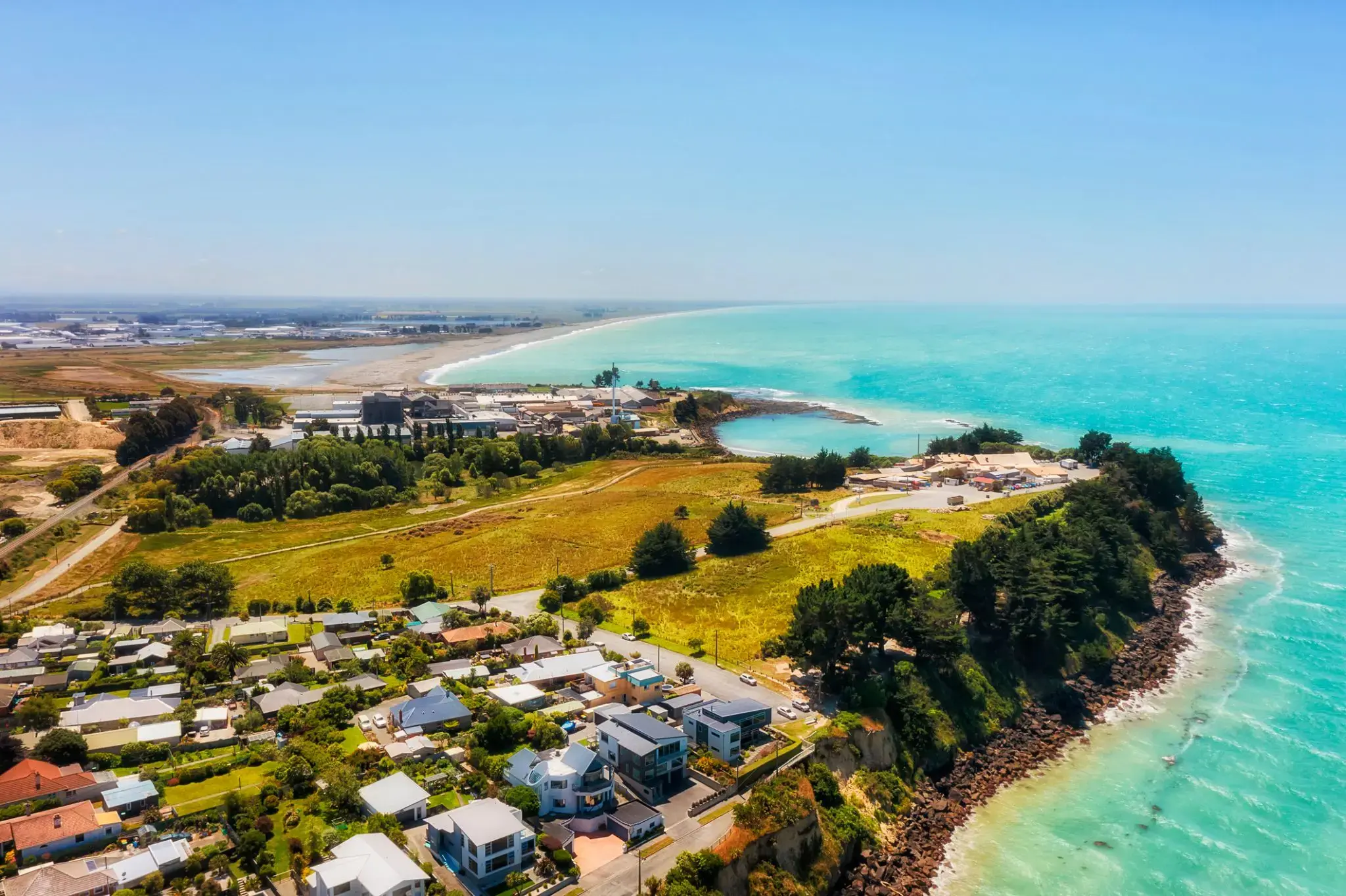
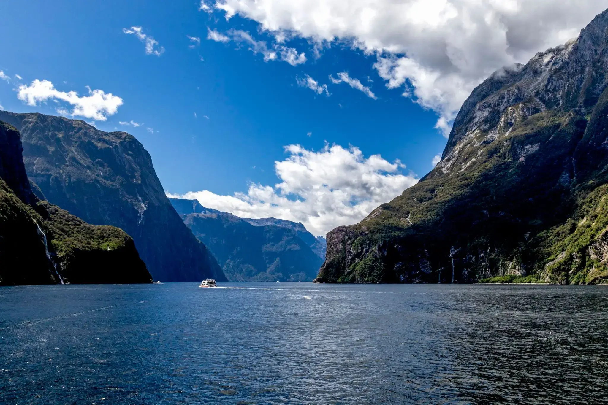
Trudno uwierzyć, że wśród tropikalnych lasów deszczowych i stromych klifów kryje się świat mglistych szczytów i lśniących wodospadów, które w Milford Sound w Nowej Zelandii spadają z wysokości ponad 150 metrów prosto do błękitnych wód fiordu. Ten zakątek Wyspy Południowej zaskakuje swoją mistyczną atmosferą: deszcze padają tu często, ale to one tworzą dziesiątki tymczasowych wodospadów, zamieniając Milford Sound w żywy obraz natury. W wodach fiordu można spotkać delfiny, foki i pingwiny, a przy dobrej pogodzie widać odbicie majestatycznego szczytu Mitre na spokojnej tafli wody.
Najlepszym sposobem, aby poczuć potęgę tego miejsca, jest rejs lub spływ kajakiem obok słynnego wodospadu Stirling i klifów wznoszących się setki metrów nad wodą. Dla bardziej kameralnych wrażeń turyści mogą wybrać się szlakiem Milford Track, jednym z najbardziej malowniczych szlaków pieszych na świecie, prowadzącym przez lasy deszczowe i wiszące mosty do zapierających dech w piersiach widoków na Milford Sound. Tutaj każdy deszcz staje się częścią magii, która pozostaje z wami długo po opuszczeniu tych brzegów.
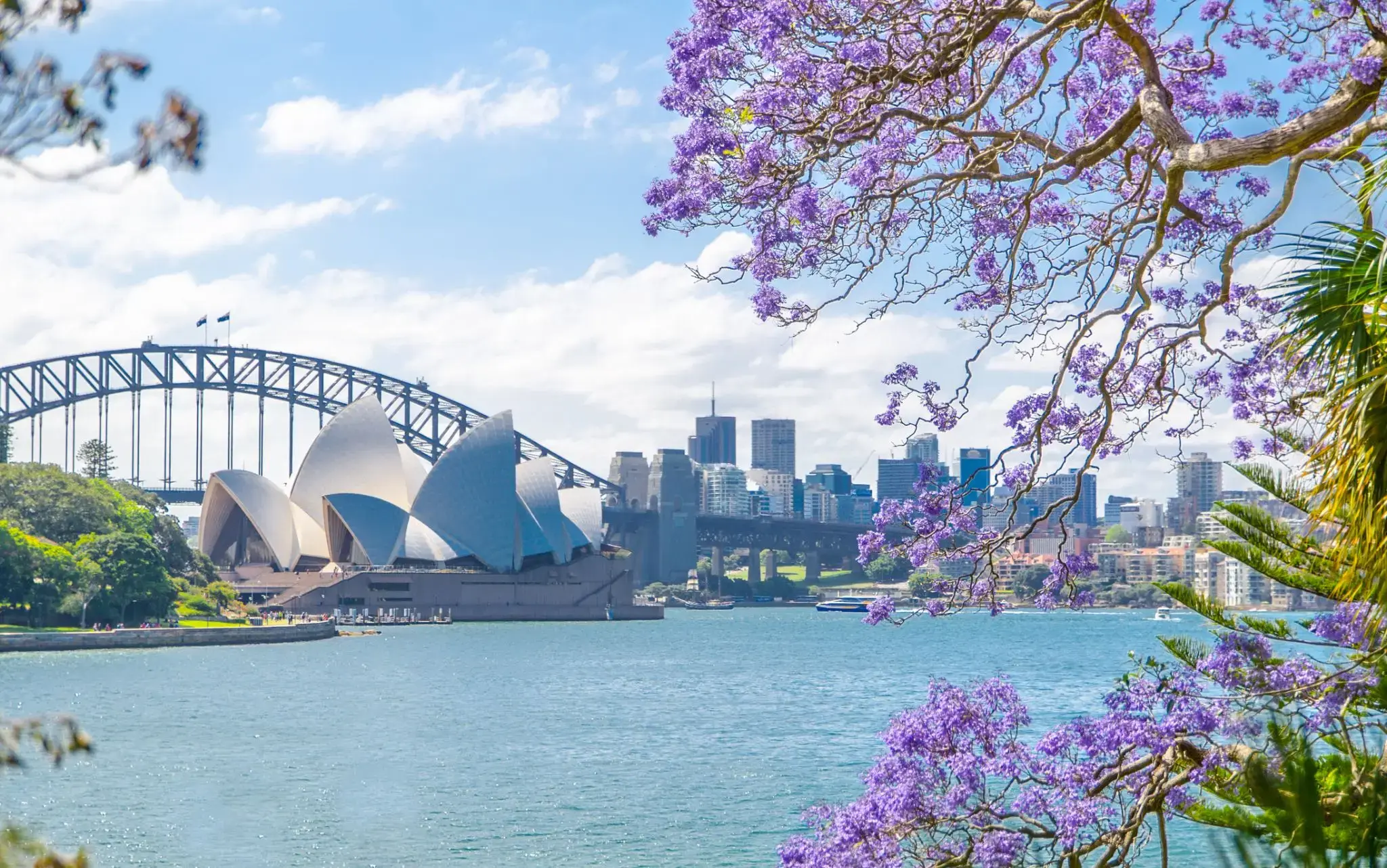
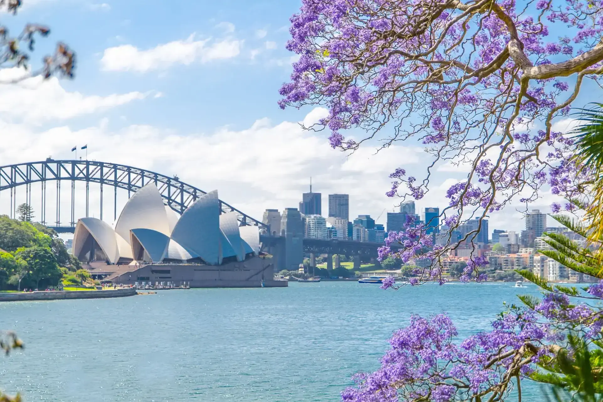
Sydney is the state capital of New South Wales and the most populous city in Australiaand Oceania. Located on Australia's east coast, the metropolis surrounds Port Jackson and extends about 70 km (43.5 mi) on its periphery towards the Blue Mountains to the west, Hawkesbury to the north, and Macarthur to the south. Sydney is made up of 658 suburbs, 40 local government areas and 15 contiguous regions. Residents of the city are known as "Sydneysiders". As of June 2017, Sydney's estimated metropolitan population was 5,131,326, and is home to approximately 65% of the state's population.
Sydney is the state capital of New South Wales and the most populous city in Australiaand Oceania. Located on Australia's east coast, the metropolis surrounds Port Jackson and extends about 70 km (43.5 mi) on its periphery towards the Blue Mountains to the west, Hawkesbury to the north, and Macarthur to the south. Sydney is made up of 658 suburbs, 40 local government areas and 15 contiguous regions. Residents of the city are known as "Sydneysiders". As of June 2017, Sydney's estimated metropolitan population was 5,131,326, and is home to approximately 65% of the state's population.
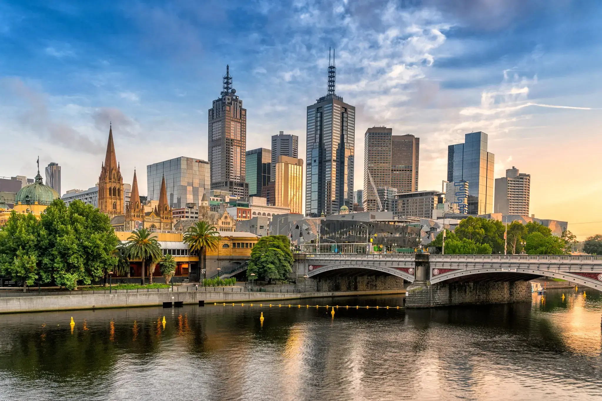
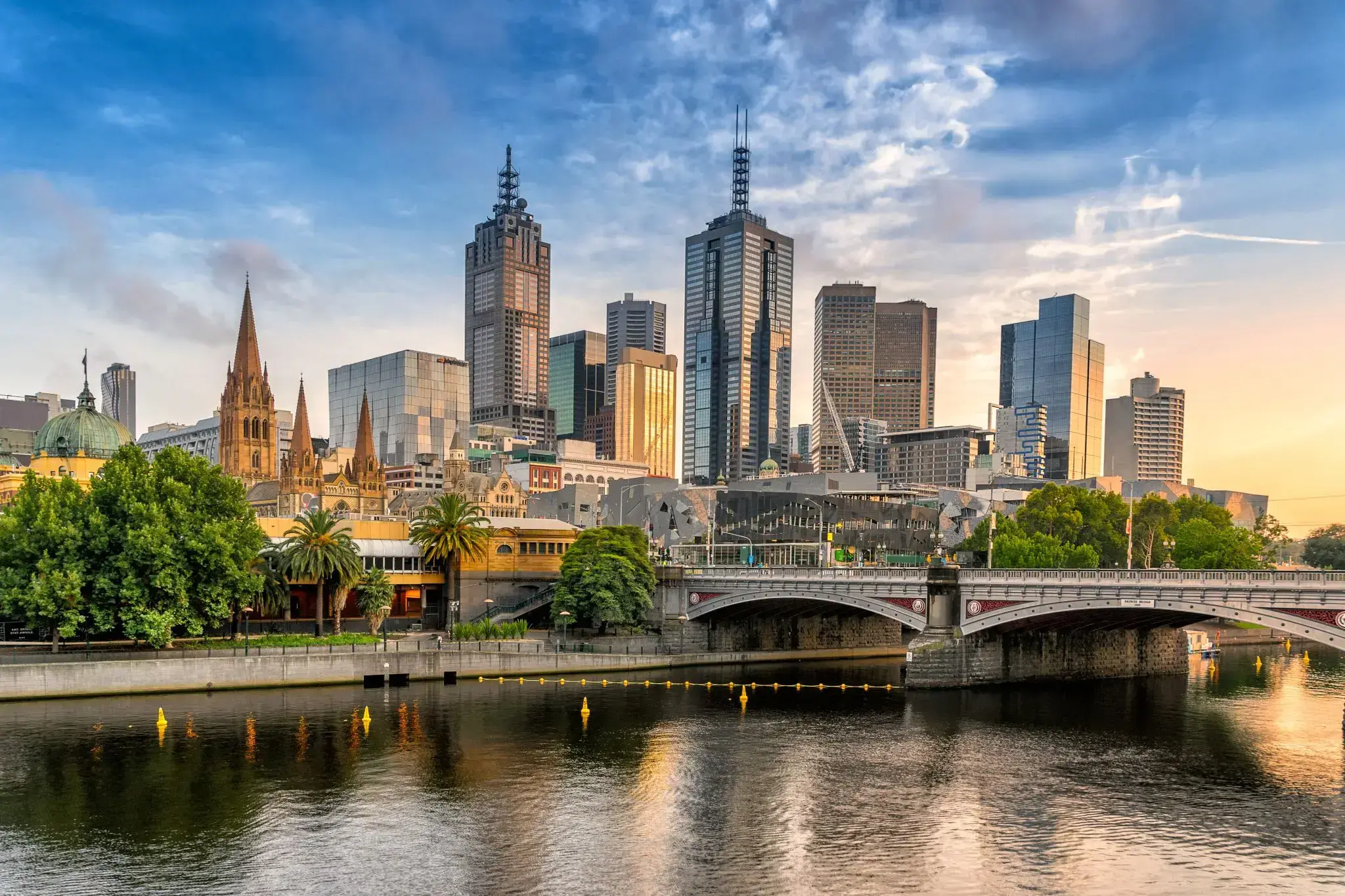
Melbourne is the capital and most populous city of the Australian state of Victoria, and the second most populous city in Australia and Oceania. Its name refers to an urban agglomeration of 9,992.5 km2 (3,858.1 sq mi), comprising a metropolitan area with 31 municipalities, and is also the common name for its city centre. The city occupies much of the coastline of Port Phillip bay and spreads into the hinterlands towards the Dandenong and Macedon ranges, Mornington Peninsula and Yarra Valley. It has a population of approximately 4.9 million (19% of the population of Australia), and its inhabitants are referred to as "Melburnians".
The city was founded on 30 August 1835, in what was the British colony of New South Wales, by free settlers from the colony of Van Diemen’s Land. It was incorporated as a Crown settlement in 1837 and named in honour of the British Prime Minister, William Lamb, 2nd Viscount Melbourne. It was declared a city by Queen Victoria in 1847, after which it became the capital of the new colony of Victoria in 1851. In the wake of the 1850s Victorian gold rush, the city entered the "Marvellous Melbourne" boom period, transforming into one of the most important cities in the British Empire and one of the largest and wealthiest in the world. After the federation of Australia in 1901, it served as interim seat of government of the new nation until Canberra became the permanent capital in 1927. Today, it is a leading financial centre in the Asia-Pacific region and ranks 20th in the Global Financial Centres Index.
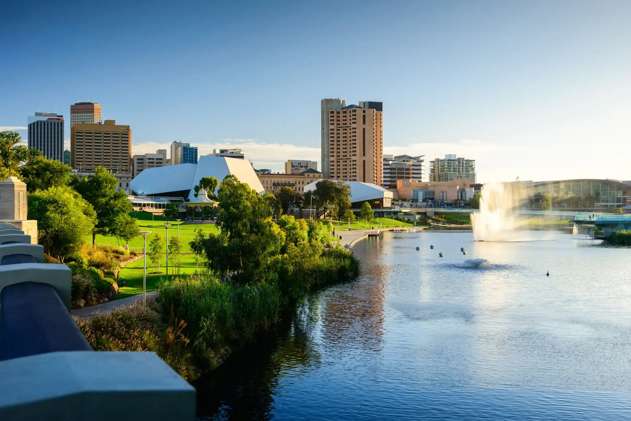
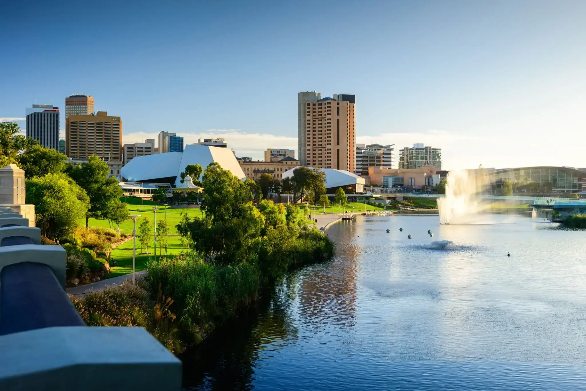
Adelaide is the capital city of the state of South Australia, and the fifth-most populous city of Australia. In June 2017, Adelaide had an estimated resident population of 1,333,927. Adelaide is home to more than 75 percent of the South Australian population, making it the most centralised population of any state in Australia.
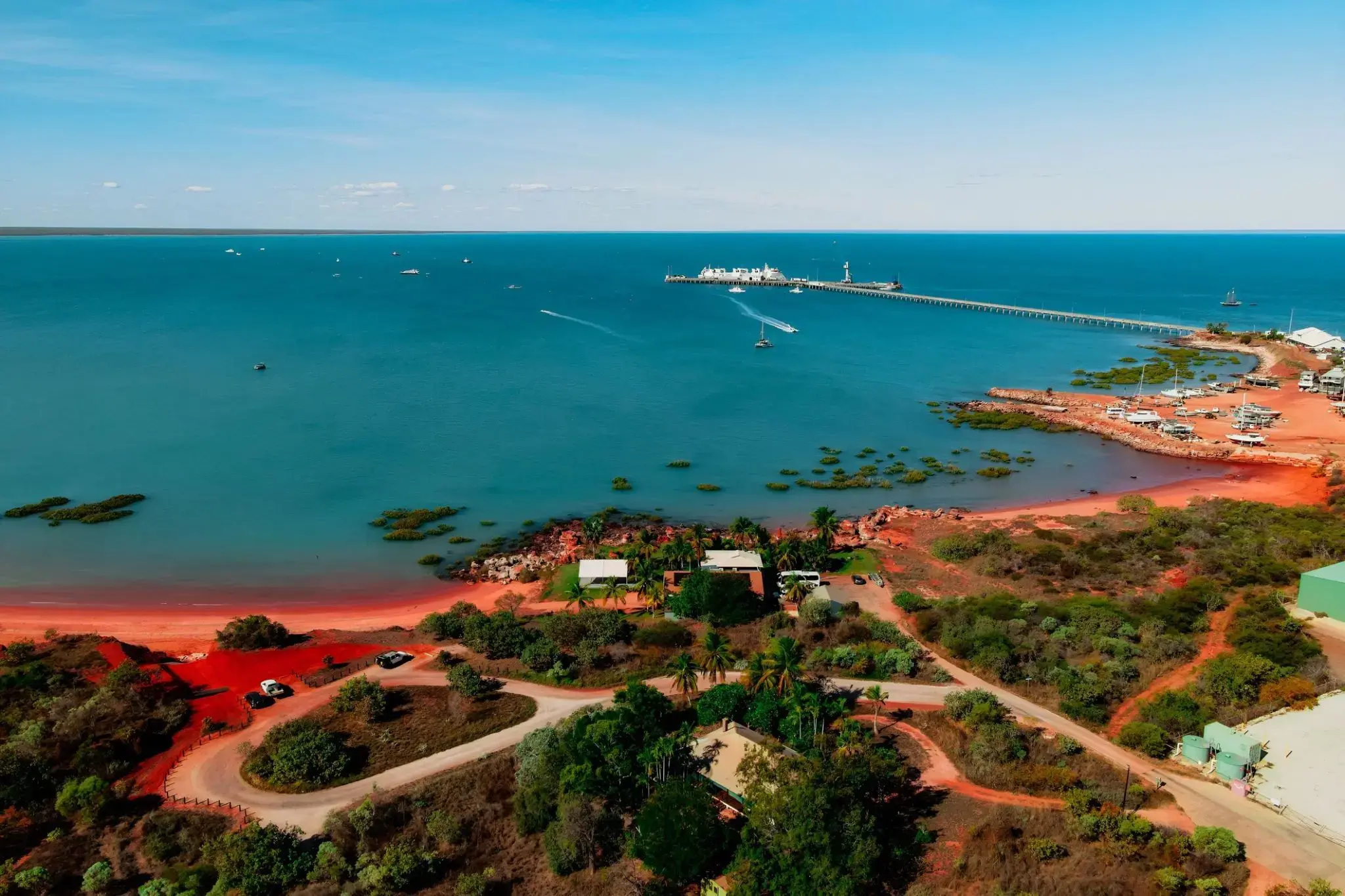
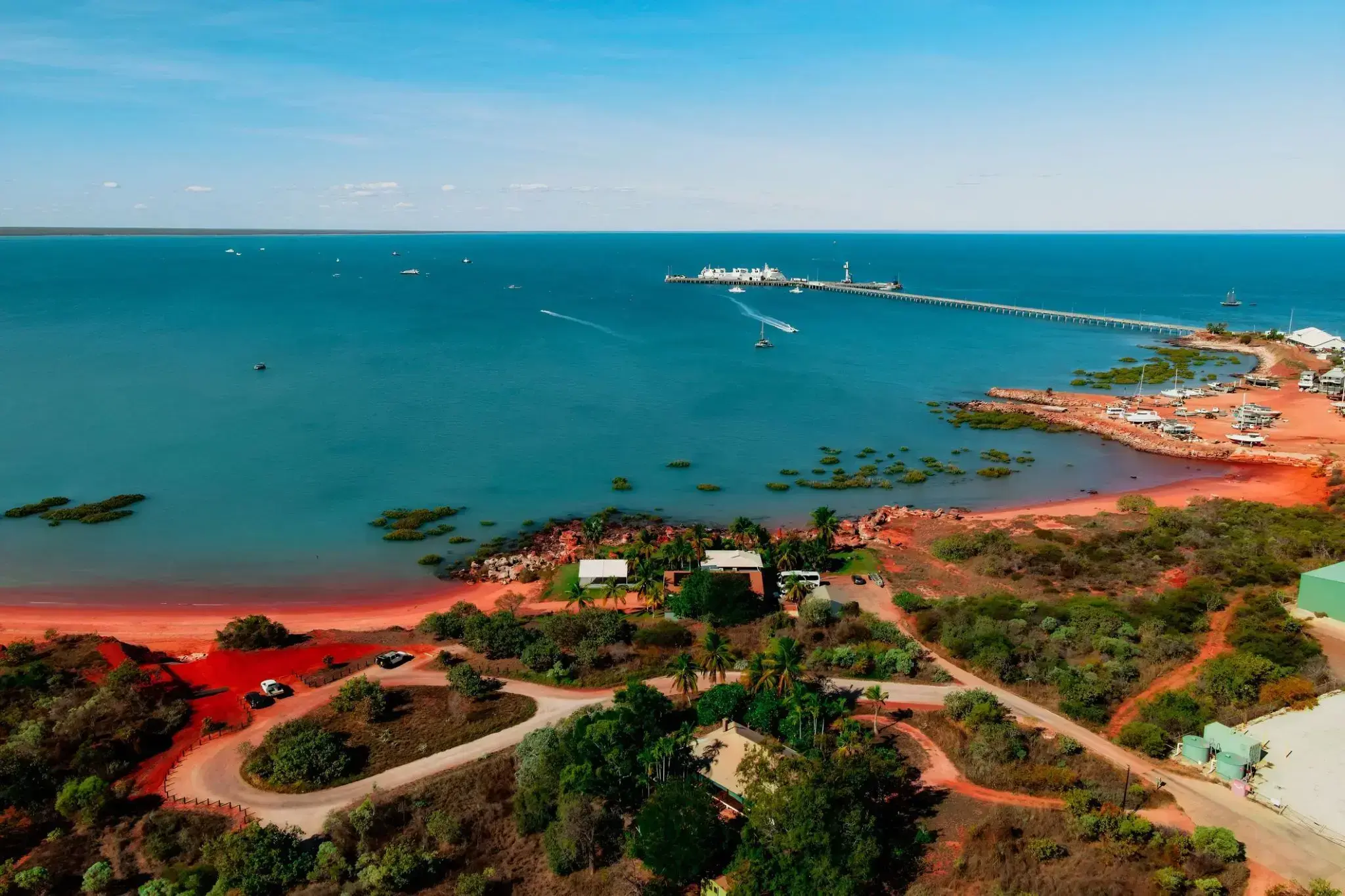
.Jedna z pereł Zachodniej Australii, Broome, słynie z unikalnej kultury i malowniczych plaż. To miasto na wybrzeżu Oceanu Indyjskiego jest znane z historycznego przemysłu perłowego oraz bogatego połączenia tradycji Aborygenów i azjatyckich imigrantów. Spacerując brzegiem, można podziwiać piękno słynnej plaży Cable Beach o długości 22 kilometrów oraz niezapomniane, żywe zachody słońca.
W Broome odbywają się również ekscytujące festiwale, które odzwierciedlają kulturową fuzję i wiekową historię regionu. Miasto jest bramą do cudów natury, takich jak unikalne formacje geologiczne w regionie Kimberley oraz możliwość zobaczenia starożytnych żółwi morskich. Jeśli chcesz poczuć atmosferę północno-zachodniej Australii, Broome będzie doskonałym wyborem.
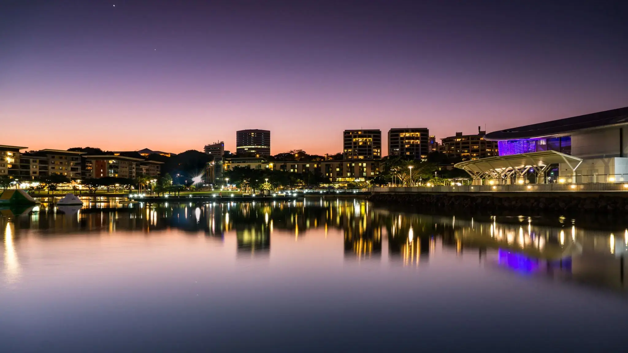
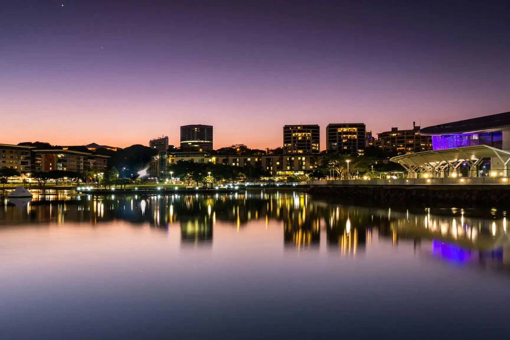
Darwin is the capital city of the Northern Territory of Australia, situated on the Timor Sea. It is the largest city in the sparsely populated Northern Territory, with a population of 145,916. It is the smallest and most northerly of the Australian capital cities, and acts as the Top End's regional centre.
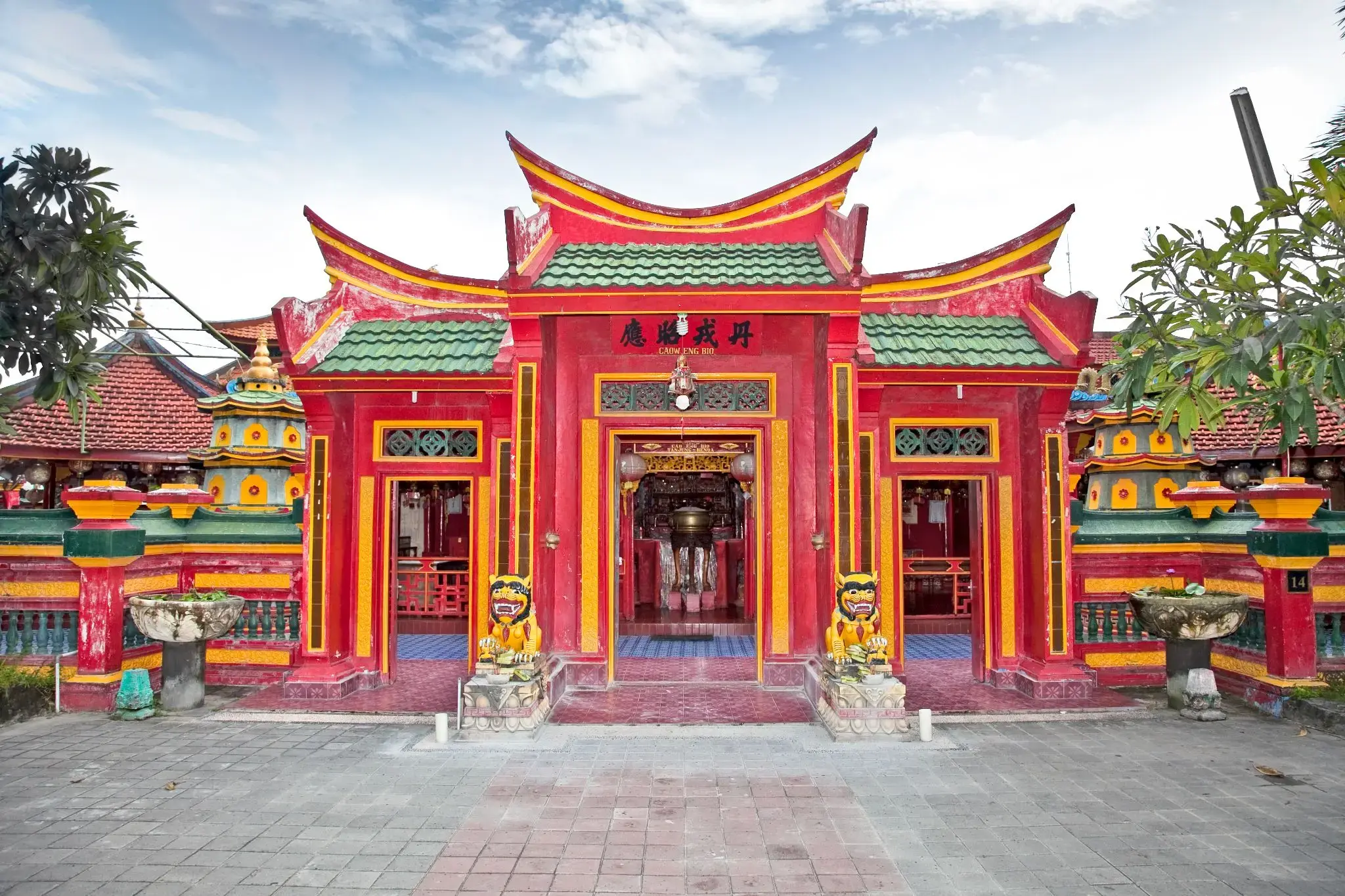
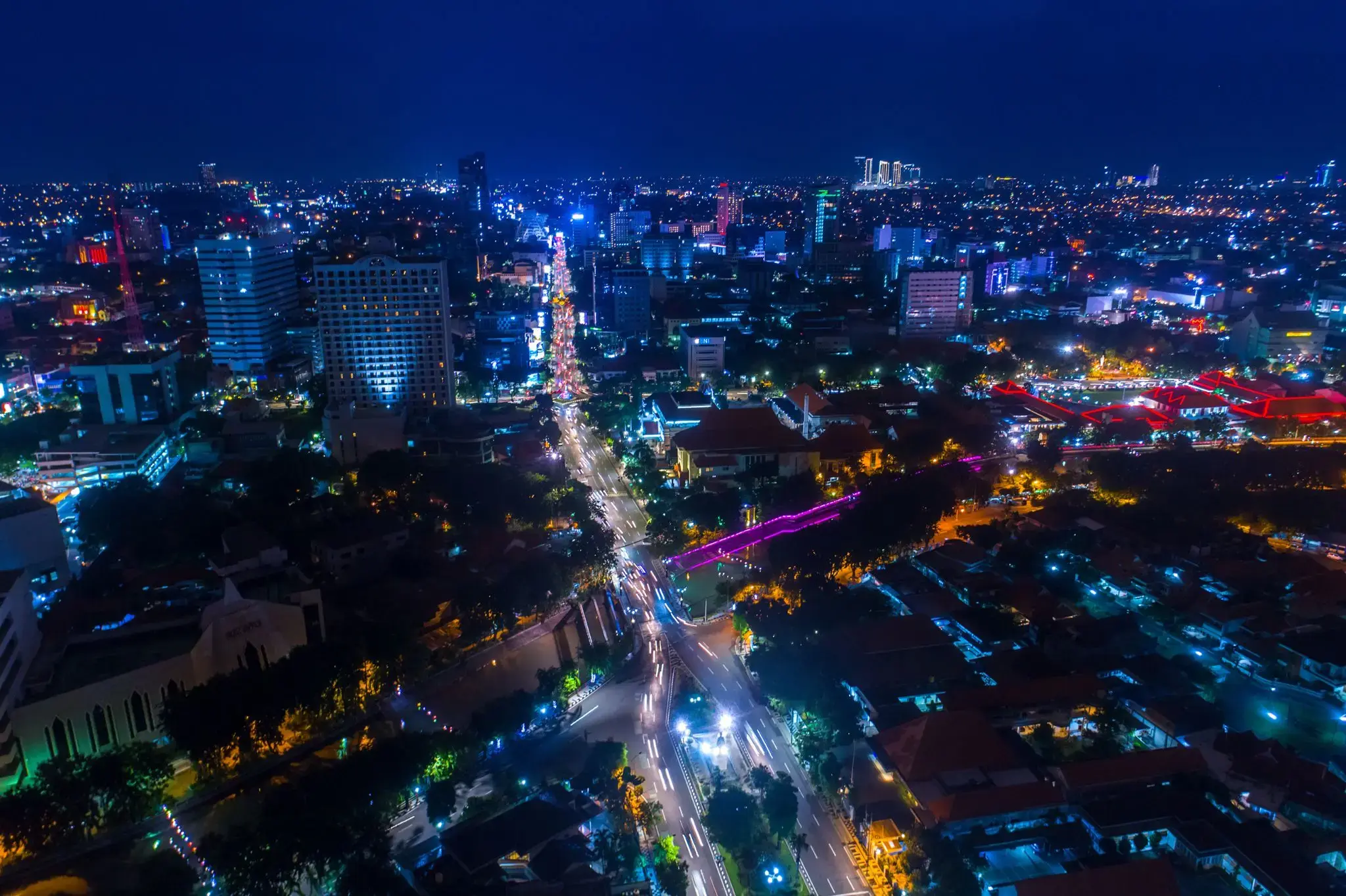
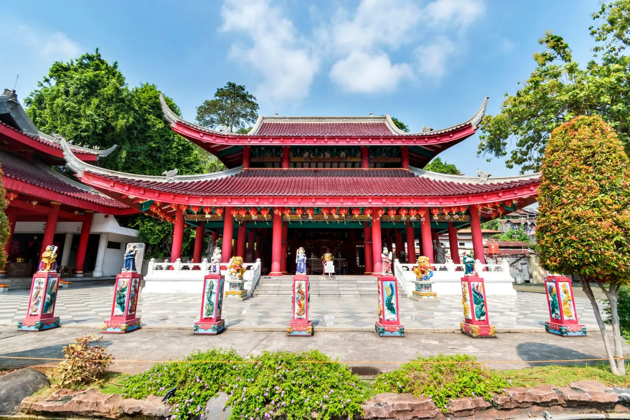
Semarang is the capital and largest city of Central Java province in Indonesia. It has an area of 373.78 square kilometres (144.32 sq mi) and a population of approximately 1.8 million people, making it Indonesia's seventh most populous city after Jakarta, Surabaya, Bandung, Bekasi, Medan, and Tangerang. The built-up (metro) area had 3,183,516 inhabitants at the 2010 census spread on 2 cities and 26 districts. Greater Semarang (a.k.a. Kedungsapur) has a population of close to 6 million (see Greater Semarang section), and is located at 6°58′S 110°25′E. A major port during the Dutch colonial era, and still an important regional center and port today, the city has a dominant Javanese population.
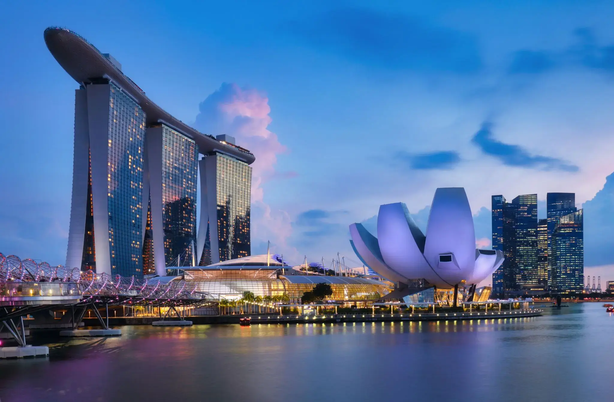
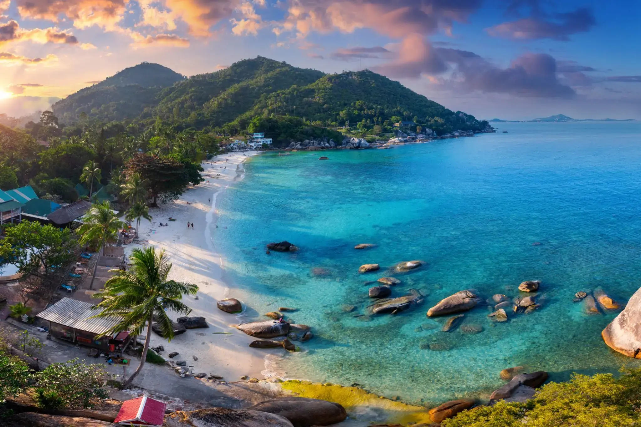
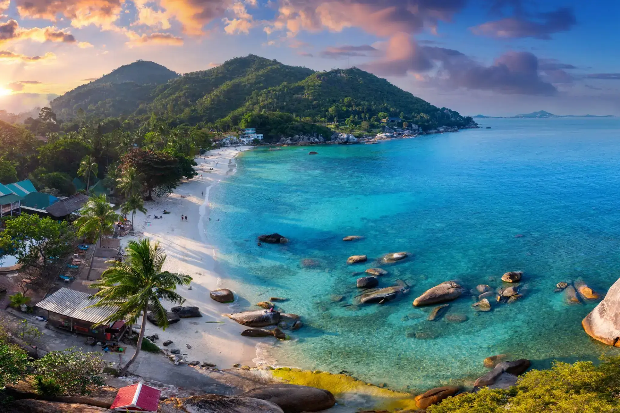
Wśród tropikalnych wysp Tajlandii Koh Samui wyróżnia się swoją unikalną naturą i atmosferą. Ta wyspa przyciąga podróżnych z całego świata swoimi białymi, piaszczystymi plażami, malowniczymi wodospadami i gęstymi dżunglami. To idealne miejsce na relaks, niezależnie od tego, czy chodzi o sport wodny, odkrywanie natury, czy po prostu cieszenie się ciszą i pięknem.
Dodatkowo, Koh Samui jest znana ze swojego dziedzictwa kulturowego, w tym wielu buddyjskich świątyń i sanktuariów. Jedną z najbardziej znanych jest Świątynia Wielkiego Buddy, która jest nie tylko centrum religijnym, ale także jedną z głównych atrakcji wyspy. Lokalne jedzenie, w tym świeże owoce morza i egzotyczne owoce, sprawi, że podróż będzie jeszcze bardziej ekscytująca i smaczna.
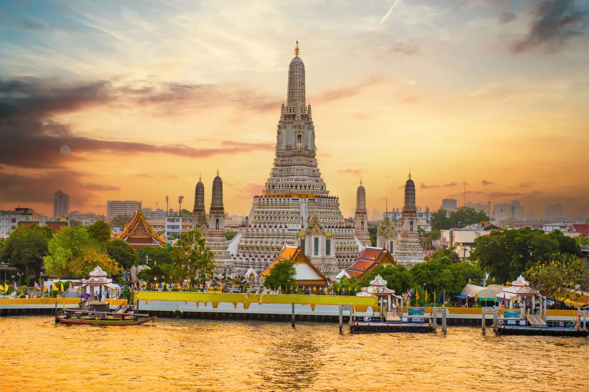
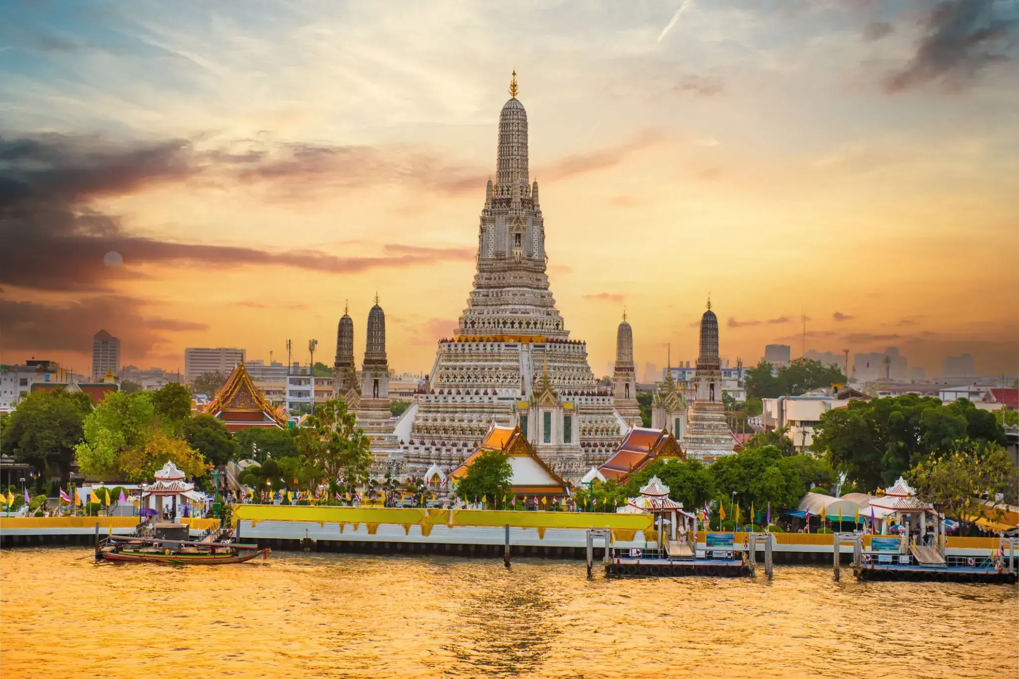
Bangkok is the capital and most populous city of Thailand. It is known in Thai as Krung Thep Maha Nakhon or simply Krung Thep. The city occupies 1,568.7 square kilometres (605.7 sq mi) in the Chao Phraya River delta in central Thailand, and has a population of over eight million, or 12.6 percent of the country's population. Over fourteen million people (22.2 percent) lived within the surrounding Bangkok Metropolitan Region at the 2010 census, making Bangkok the nation's primate city, significantly dwarfing Thailand's other urban centres in terms of importance.
Bangkok is the capital and most populous city of Thailand. It is known in Thai as Krung Thep Maha Nakhon or simply Krung Thep. The city occupies 1,568.7 square kilometres (605.7 sq mi) in the Chao Phraya River delta in central Thailand, and has a population of over eight million, or 12.6 percent of the country's population. Over fourteen million people (22.2 percent) lived within the surrounding Bangkok Metropolitan Region at the 2010 census, making Bangkok the nation's primate city, significantly dwarfing Thailand's other urban centres in terms of importance.
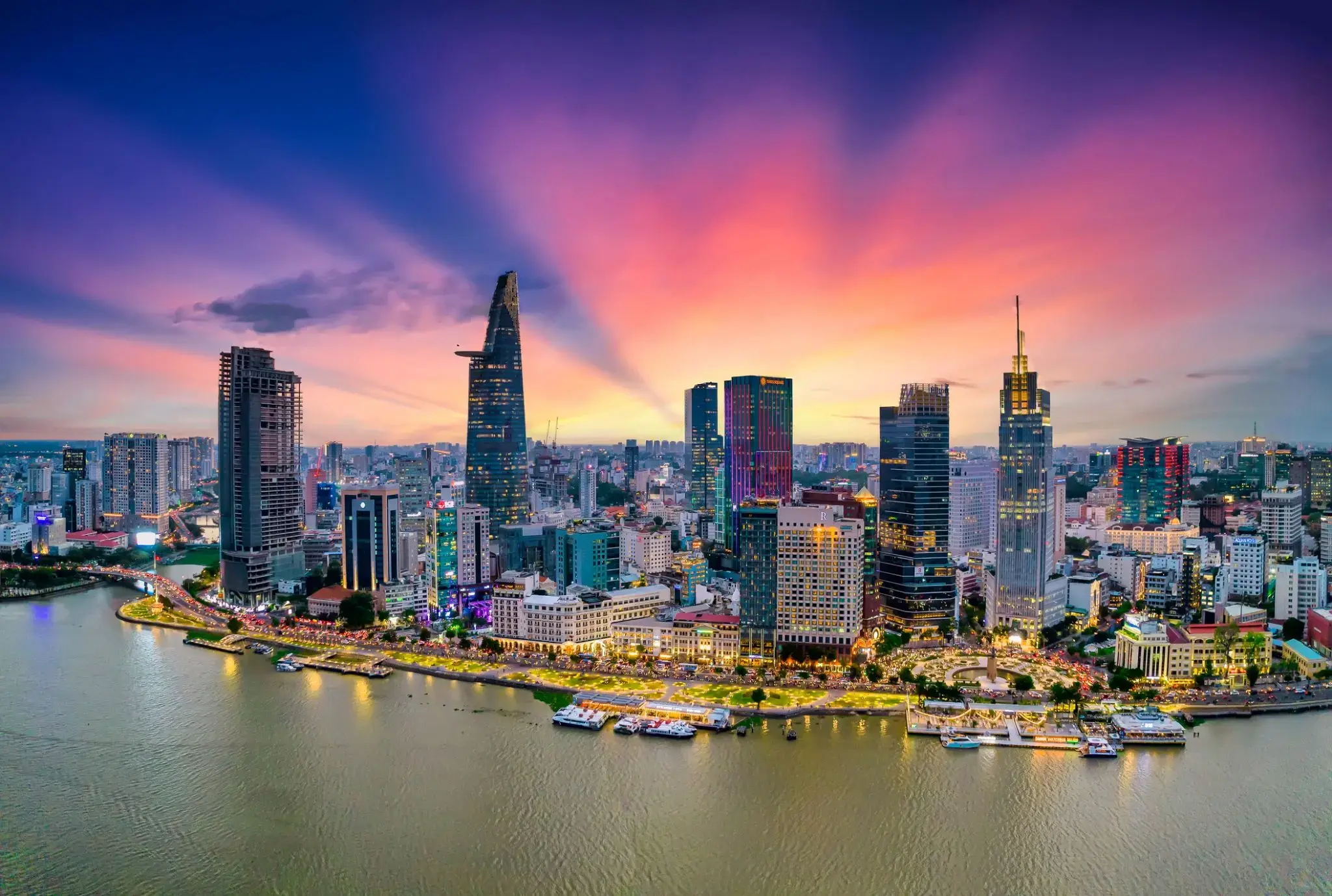
Ho Chi Minh, znane również pod swoją dawną nazwą Sajgon, jest najludniejszym miastem Wietnamu z populacją 8,4 miliona (13 milionów w obszarze metropolitalnym) według stanu na 2017 rok. Położona w południowo-wschodnim Wietnamie metropolia otacza rzekę Sajgon i zajmuje powierzchnię około 2061 kilometrów kwadratowych (796 mil kwadratowych).
Pod nazwą Sajgon było stolicą Indochin Francuskich od 1887 do 1902 roku i ponownie od 1945 do 1954 roku. Sajgon stał się później stolicą Wietnamu Południowego od 1955 roku aż do jego upadku w 1975 roku. 2 lipca 1976 roku Sajgon połączył się z otaczającą prowincją Gia Định i został oficjalnie przemianowany na Ho Chi Minh City na cześć przywódcy rewolucyjnego Hồ Chí Minha (chociaż nazwa Sài Gòn jest nadal powszechnie używana).
Ho Chi Minh City jest centrum finansowym Wietnamu i jest klasyfikowane jako miasto światowe Beta+ przez Globalization and World Cities Research Network. Jest siedzibą Giełdy Papierów Wartościowych w Ho Chi Minh City, największej giełdy papierów wartościowych pod względem całkowitej kapitalizacji rynkowej w Wietnamie oraz siedzibą wielu krajowych i międzynarodowych banków i firm.
Ho Chi Minh City jest najczęściej odwiedzanym miastem w Wietnamie, z 6,3 miliona odwiedzających w 2017 roku. Wiele znanych międzynarodowym turystom zabytków miasta to między innymi targ Bến Thành, ratusz w Ho Chi Minh City, bazylika katedralna Notre-Dame w Sajgonie, Pałac Niepodległości i Teatr Miejski. Głównym lotniskiem pasażerskim obsługującym obszar metropolitalny jest międzynarodowe lotnisko Tân Sơn Nhất, najbardziej ruchliwe lotnisko w Wietnamie, które w 2017 roku obsłużyło 36 milionów pasażerów.
Ho Chi Minh, znane również pod swoją dawną nazwą Sajgon, jest najludniejszym miastem Wietnamu z populacją 8,4 miliona (13 milionów w obszarze metropolitalnym) według stanu na 2017 rok. Położona w południowo-wschodnim Wietnamie metropolia otacza rzekę Sajgon i zajmuje powierzchnię około 2061 kilometrów kwadratowych (796 mil kwadratowych).
Pod nazwą Sajgon było stolicą Indochin Francuskich od 1887 do 1902 roku i ponownie od 1945 do 1954 roku. Sajgon stał się później stolicą Wietnamu Południowego od 1955 roku aż do jego upadku w 1975 roku. 2 lipca 1976 roku Sajgon połączył się z otaczającą prowincją Gia Định i został oficjalnie przemianowany na Ho Chi Minh City na cześć przywódcy rewolucyjnego Hồ Chí Minha (chociaż nazwa Sài Gòn jest nadal powszechnie używana).
Ho Chi Minh City jest centrum finansowym Wietnamu i jest klasyfikowane jako miasto światowe Beta+ przez Globalization and World Cities Research Network. Jest siedzibą Giełdy Papierów Wartościowych w Ho Chi Minh City, największej giełdy papierów wartościowych pod względem całkowitej kapitalizacji rynkowej w Wietnamie oraz siedzibą wielu krajowych i międzynarodowych banków i firm.
Ho Chi Minh City jest najczęściej odwiedzanym miastem w Wietnamie, z 6,3 miliona odwiedzających w 2017 roku. Wiele znanych międzynarodowym turystom zabytków miasta to między innymi targ Bến Thành, ratusz w Ho Chi Minh City, bazylika katedralna Notre-Dame w Sajgonie, Pałac Niepodległości i Teatr Miejski. Głównym lotniskiem pasażerskim obsługującym obszar metropolitalny jest międzynarodowe lotnisko Tân Sơn Nhất, najbardziej ruchliwe lotnisko w Wietnamie, które w 2017 roku obsłużyło 36 milionów pasażerów.
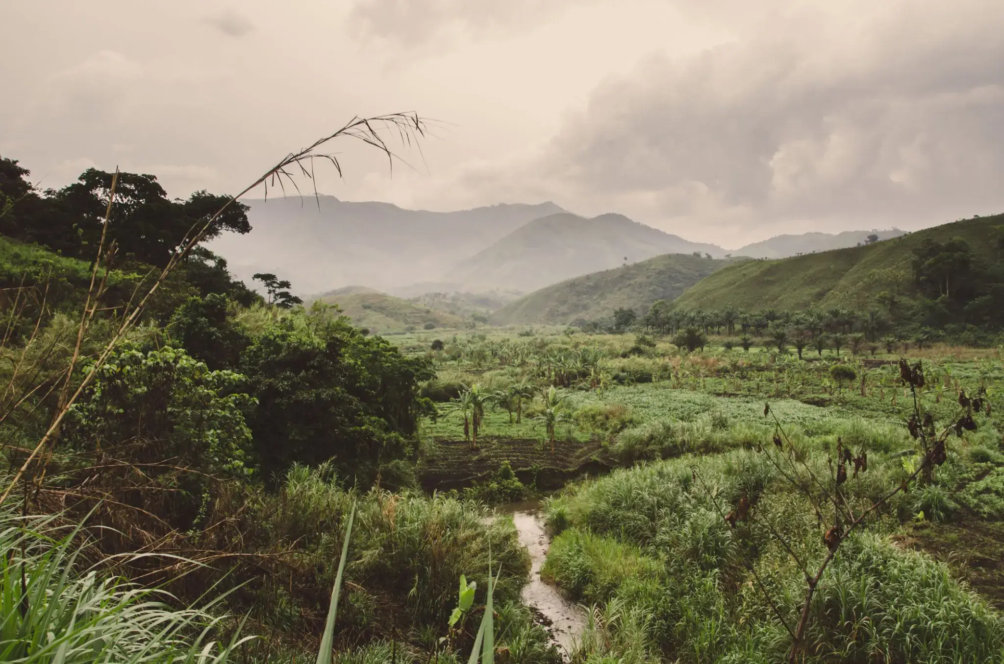
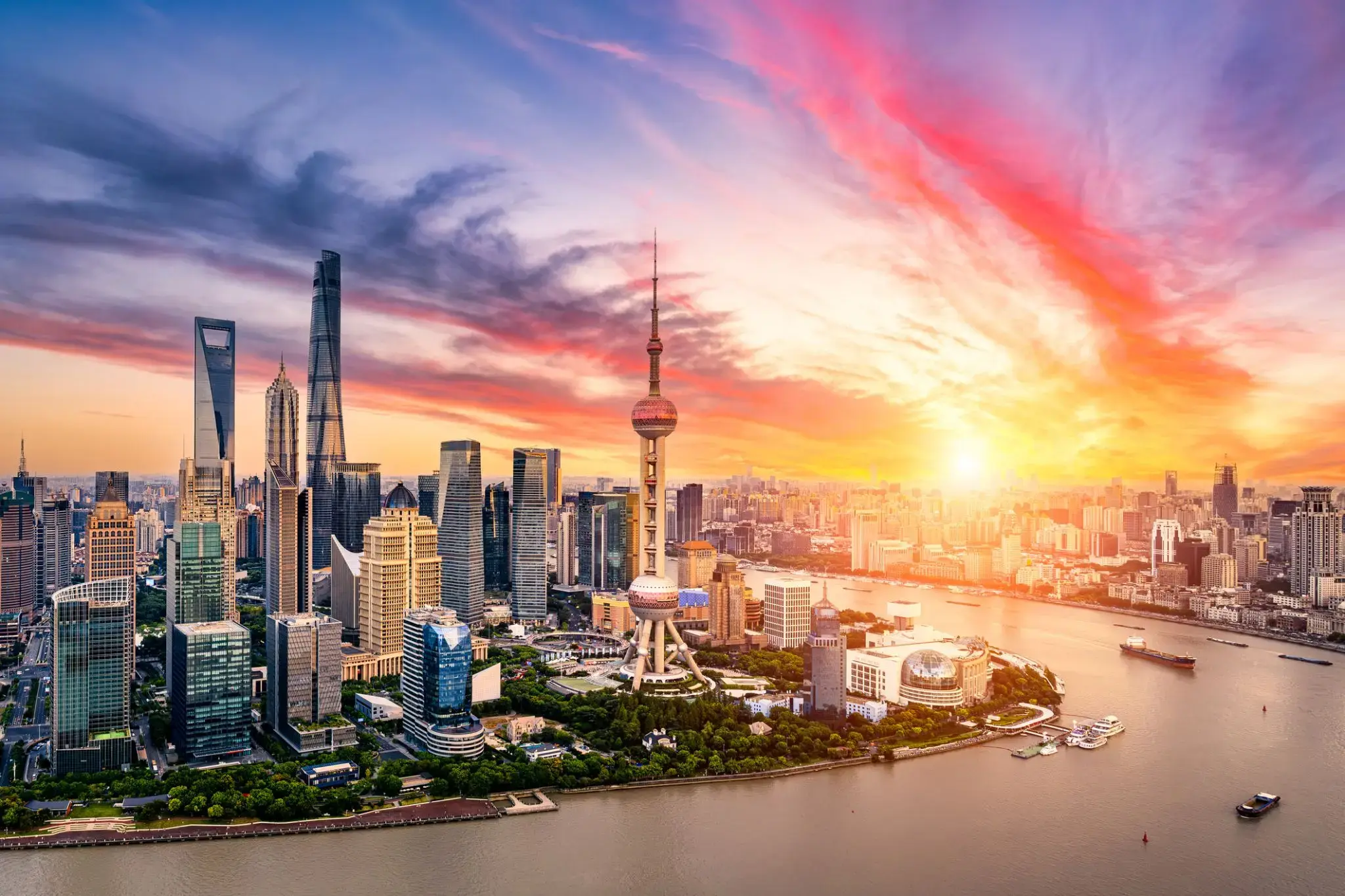
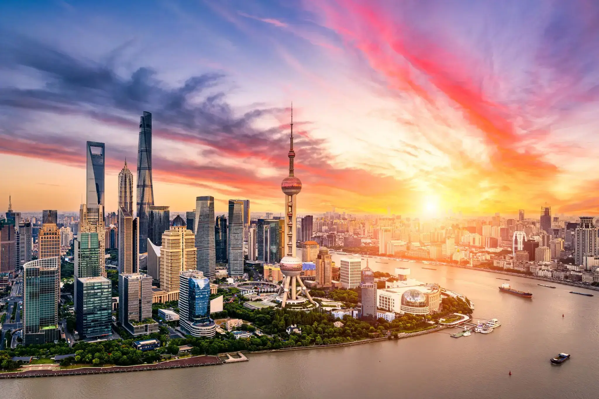
Shanghai is one of the four municipalities under the direct administration of the central government of the Republic of China, the largest city in China by population, and the second most populous city proper in the world, with a population of 24.18 million as of 2017. It is a global financial centre and transport hub, with the world's busiest container port. Located in the Yangtze River Delta, it sits on the south edge of the estuary of the Yangtze in the middle portion of the East Chinacoast. The municipality borders the provinces of Jiangsu and Zhejiang to the north, south and west, and is bounded to the east by the East China Sea.
As a major administrative, shipping and trading city, Shanghai grew in importance in the 19th century due to trade and recognition of its favourable port location and economic potential. The city was one of five treaty ports forced open to foreign trade following the British victory over China in the First Opium War. The subsequent 1842 Treaty of Nankingand 1844 Treaty of Whampoa allowed the establishment of the Shanghai International Settlement and the French Concession. The city then flourished as a centre of commerce between China and other parts of the world (predominantly the Occident), and became the primary financial hub of the Asia-Pacific region in the 1930s. However, with the Communist Party takeover of the mainland in 1949, trade was limited to other socialist countries, and the city's global influence declined. In the 1990s, the economic reforms introduced by Deng Xiaoping resulted in an intense re-development of the city, aiding the return of finance and foreign investment to the city. It has since re-emerged as a hub for international trade and finance; it is the home of the Shanghai Stock Exchange, one of the world's largest by market capitalization.
Shanghai has been described as the "showpiece" of the booming economy of mainland China; renowned for its Lujiazui skyline, and museums and historic buildings, such as those along The Bund, as well as the City God Templeand the Yu Garden.
Shanghai is one of the four municipalities under the direct administration of the central government of the Republic of China, the largest city in China by population, and the second most populous city proper in the world, with a population of 24.18 million as of 2017. It is a global financial centre and transport hub, with the world's busiest container port. Located in the Yangtze River Delta, it sits on the south edge of the estuary of the Yangtze in the middle portion of the East Chinacoast. The municipality borders the provinces of Jiangsu and Zhejiang to the north, south and west, and is bounded to the east by the East China Sea.
As a major administrative, shipping and trading city, Shanghai grew in importance in the 19th century due to trade and recognition of its favourable port location and economic potential. The city was one of five treaty ports forced open to foreign trade following the British victory over China in the First Opium War. The subsequent 1842 Treaty of Nankingand 1844 Treaty of Whampoa allowed the establishment of the Shanghai International Settlement and the French Concession. The city then flourished as a centre of commerce between China and other parts of the world (predominantly the Occident), and became the primary financial hub of the Asia-Pacific region in the 1930s. However, with the Communist Party takeover of the mainland in 1949, trade was limited to other socialist countries, and the city's global influence declined. In the 1990s, the economic reforms introduced by Deng Xiaoping resulted in an intense re-development of the city, aiding the return of finance and foreign investment to the city. It has since re-emerged as a hub for international trade and finance; it is the home of the Shanghai Stock Exchange, one of the world's largest by market capitalization.
Shanghai has been described as the "showpiece" of the booming economy of mainland China; renowned for its Lujiazui skyline, and museums and historic buildings, such as those along The Bund, as well as the City God Templeand the Yu Garden.
Shanghai is one of the four municipalities under the direct administration of the central government of the Republic of China, the largest city in China by population, and the second most populous city proper in the world, with a population of 24.18 million as of 2017. It is a global financial centre and transport hub, with the world's busiest container port. Located in the Yangtze River Delta, it sits on the south edge of the estuary of the Yangtze in the middle portion of the East Chinacoast. The municipality borders the provinces of Jiangsu and Zhejiang to the north, south and west, and is bounded to the east by the East China Sea.
As a major administrative, shipping and trading city, Shanghai grew in importance in the 19th century due to trade and recognition of its favourable port location and economic potential. The city was one of five treaty ports forced open to foreign trade following the British victory over China in the First Opium War. The subsequent 1842 Treaty of Nankingand 1844 Treaty of Whampoa allowed the establishment of the Shanghai International Settlement and the French Concession. The city then flourished as a centre of commerce between China and other parts of the world (predominantly the Occident), and became the primary financial hub of the Asia-Pacific region in the 1930s. However, with the Communist Party takeover of the mainland in 1949, trade was limited to other socialist countries, and the city's global influence declined. In the 1990s, the economic reforms introduced by Deng Xiaoping resulted in an intense re-development of the city, aiding the return of finance and foreign investment to the city. It has since re-emerged as a hub for international trade and finance; it is the home of the Shanghai Stock Exchange, one of the world's largest by market capitalization.
Shanghai has been described as the "showpiece" of the booming economy of mainland China; renowned for its Lujiazui skyline, and museums and historic buildings, such as those along The Bund, as well as the City God Templeand the Yu Garden.
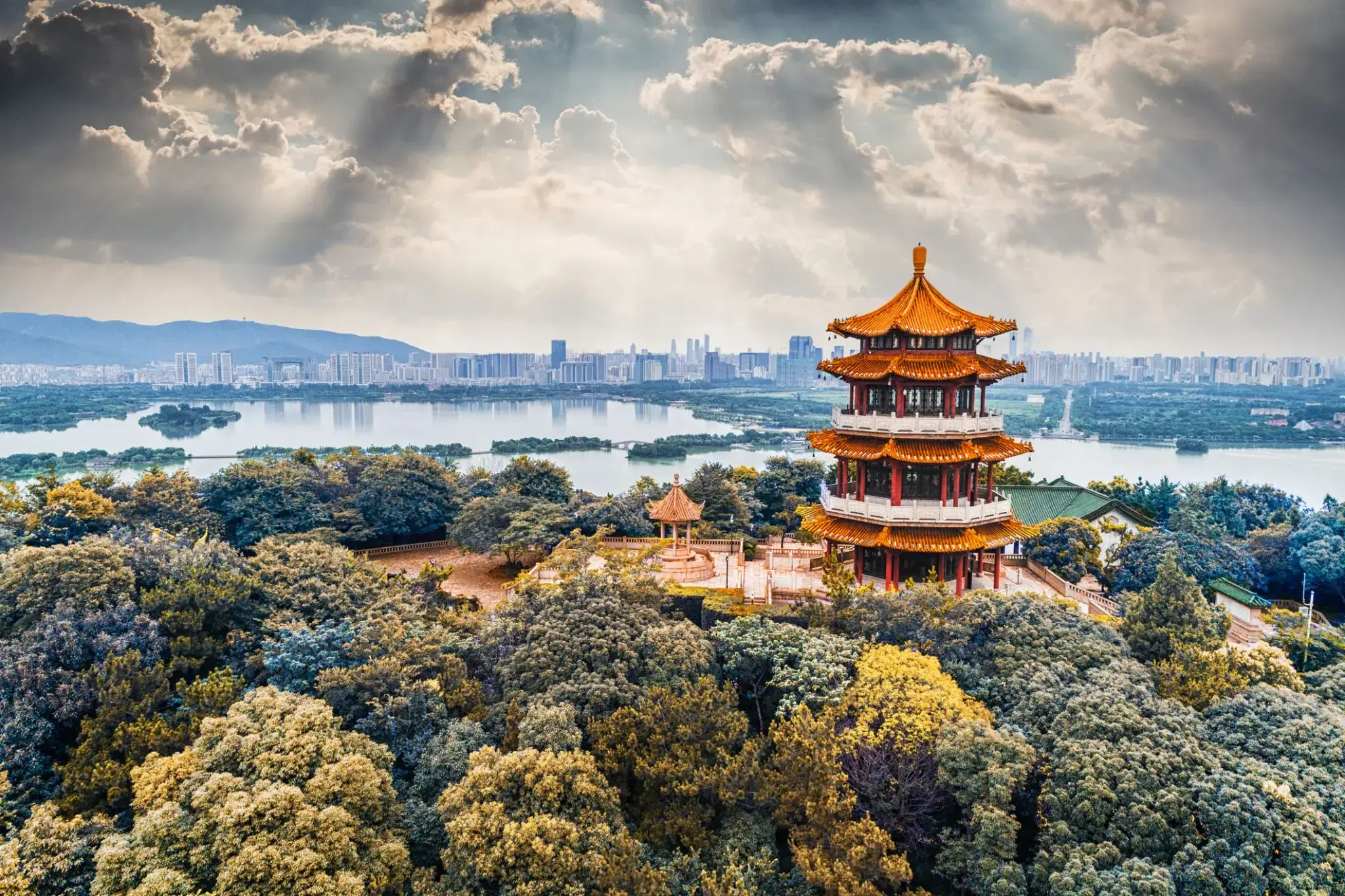
Beijing, formerly romanized as Peking, is the capital of the People's Republic of China, the world's third most populous city proper, and most populous capital city. The city, located in northern China, is governed as a municipality under the direct administration of central government with 16 urban, suburban, and rural districts. Beijing Municipality is surrounded by HebeiProvince with the exception of neighboring Tianjin Municipality to the southeast; together the three divisions form the Jingjinji metropolitan region and the national capital region of China.
Beijing is an important world capital and global power city, and one of the world's leading centers for politics, economy and business, finance, education, culture, innovation and technology, architecture, language, and diplomacy. A megacity, Beijing is the second largest Chinese city by urban population after Shanghai and is the nation's political, cultural, and educational center. It is home to the headquarters of most of China's largest state-owned companiesand houses the largest number of Fortune Global 500 companies in the world, as well as the world's four biggest financial institutions. It is also a major hub for the national highway, expressway, railway, and high-speed railnetworks. The Beijing Capital International Airport has been the second busiest in the world by passenger traffic since 2010, and, as of 2016, the city's subway network is the busiest and second longest in the world.
Combining both modern and traditional architecture, Beijing is one of the oldest cities in the world, with a rich historydating back three millennia. As the last of the Four Great Ancient Capitals of China, Beijing has been the political center of the country for most of the past eight centuries, and was the largest city in the world by population for much of the second millennium A.D. Encyclopædia Britannica notes that "few cities in the world have served for so long as the political headquarters and cultural center of an area as immense as China." With mountains surrounding the inland city on three sides, in addition to the old inner and outer city walls, Beijing was strategically poised and developed to be the residence of the emperor and thus was the perfect location for the imperial capital. The city is renowned for its opulent palaces, temples, parks, gardens, tombs, walls and gates. It has seven UNESCO World Heritage Sites—the Forbidden City, Temple of Heaven, Summer Palace, Ming Tombs, Zhoukoudian, and parts of the Great Wall and the Grand Canal— all popular locations for tourism. Siheyuans, the city's traditional housing style, and hutongs, the narrow alleys between siheyuans, are major tourist attractions and are common in urban Beijing.
Many of Beijing's 91 universities consistently rank among the best in China, such as the Peking University and Tsinghua University. Beijing CBD is a center for Beijing's economic expansion, with the ongoing or recently completed construction of multiple skyscrapers. Beijing's Zhongguancun area is known as China's Silicon Valley and a center of innovation and technology entrepreneurship.
Beijing, formerly romanized as Peking, is the capital of the People's Republic of China, the world's third most populous city proper, and most populous capital city. The city, located in northern China, is governed as a municipality under the direct administration of central government with 16 urban, suburban, and rural districts. Beijing Municipality is surrounded by HebeiProvince with the exception of neighboring Tianjin Municipality to the southeast; together the three divisions form the Jingjinji metropolitan region and the national capital region of China.
Beijing is an important world capital and global power city, and one of the world's leading centers for politics, economy and business, finance, education, culture, innovation and technology, architecture, language, and diplomacy. A megacity, Beijing is the second largest Chinese city by urban population after Shanghai and is the nation's political, cultural, and educational center. It is home to the headquarters of most of China's largest state-owned companiesand houses the largest number of Fortune Global 500 companies in the world, as well as the world's four biggest financial institutions. It is also a major hub for the national highway, expressway, railway, and high-speed railnetworks. The Beijing Capital International Airport has been the second busiest in the world by passenger traffic since 2010, and, as of 2016, the city's subway network is the busiest and second longest in the world.
Combining both modern and traditional architecture, Beijing is one of the oldest cities in the world, with a rich historydating back three millennia. As the last of the Four Great Ancient Capitals of China, Beijing has been the political center of the country for most of the past eight centuries, and was the largest city in the world by population for much of the second millennium A.D. Encyclopædia Britannica notes that "few cities in the world have served for so long as the political headquarters and cultural center of an area as immense as China." With mountains surrounding the inland city on three sides, in addition to the old inner and outer city walls, Beijing was strategically poised and developed to be the residence of the emperor and thus was the perfect location for the imperial capital. The city is renowned for its opulent palaces, temples, parks, gardens, tombs, walls and gates. It has seven UNESCO World Heritage Sites—the Forbidden City, Temple of Heaven, Summer Palace, Ming Tombs, Zhoukoudian, and parts of the Great Wall and the Grand Canal— all popular locations for tourism. Siheyuans, the city's traditional housing style, and hutongs, the narrow alleys between siheyuans, are major tourist attractions and are common in urban Beijing.
Many of Beijing's 91 universities consistently rank among the best in China, such as the Peking University and Tsinghua University. Beijing CBD is a center for Beijing's economic expansion, with the ongoing or recently completed construction of multiple skyscrapers. Beijing's Zhongguancun area is known as China's Silicon Valley and a center of innovation and technology entrepreneurship.
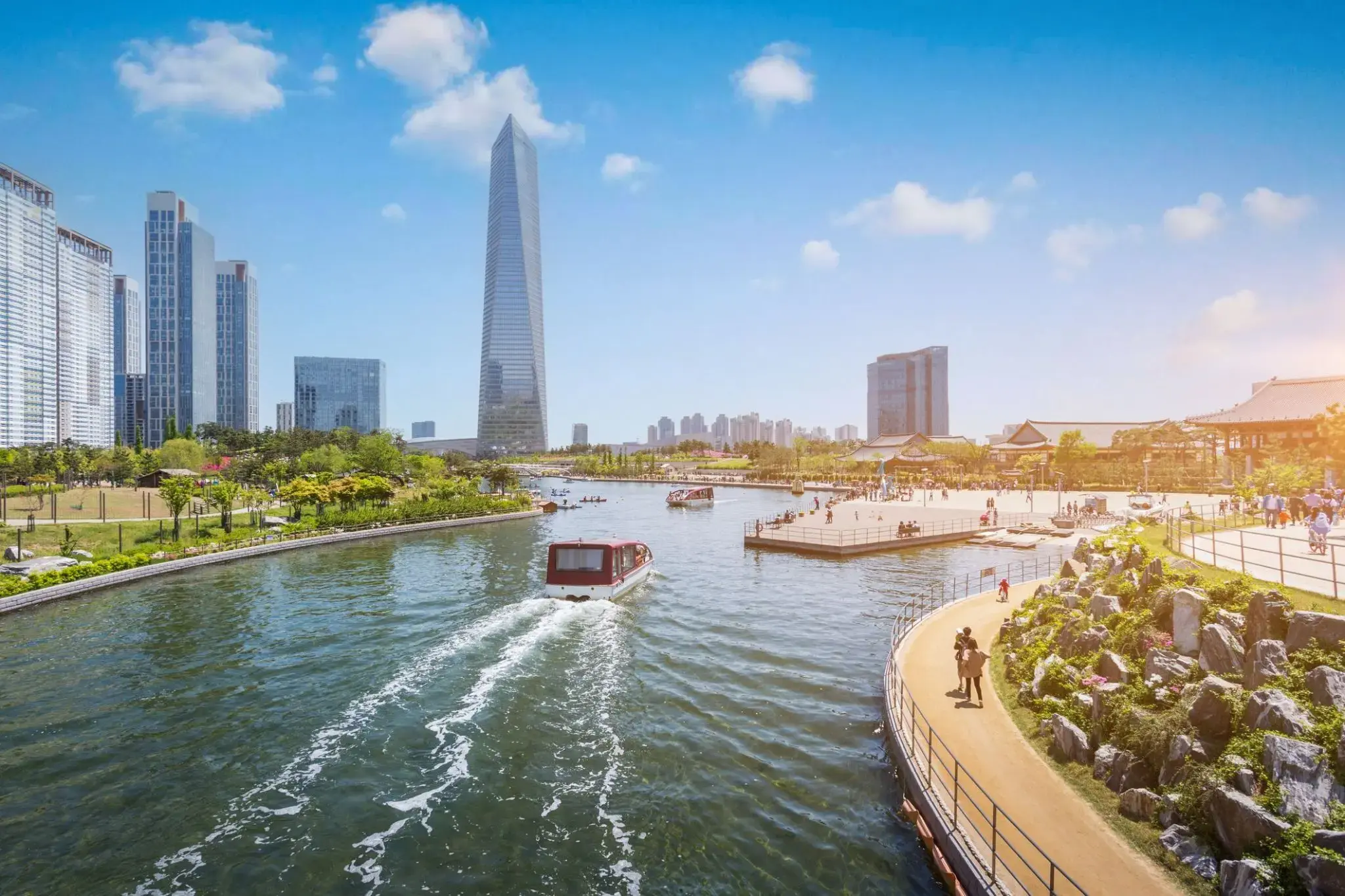
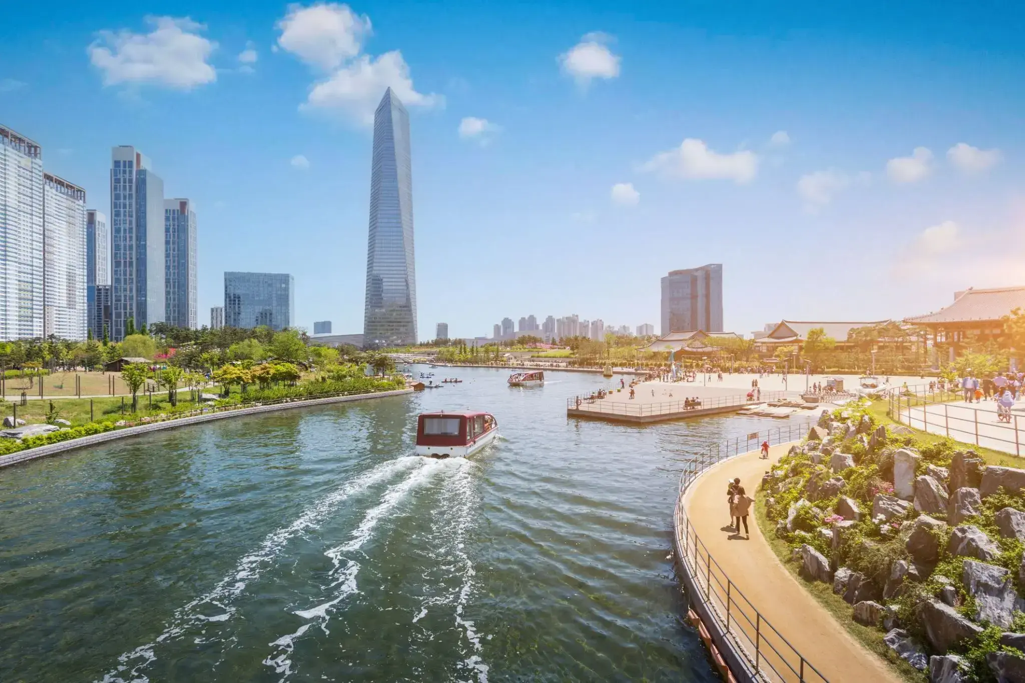
Incheon to portowe miasto położone na zachodnim wybrzeżu Korei Południowej, zaledwie 40 kilometrów od Seulu. Jako ważny węzeł komunikacyjny, Incheon słynie z międzynarodowego lotniska, które jest jednym z największych w Azji i stanowi ważny punkt przesiadkowy dla podróżnych zmierzających do Korei Południowej. Miasto jest także znane z malowniczych promenad, pięknych plaż i wysp, które idealnie nadają się do relaksujących spacerów. Jednym z najpopularniejszych miejsc turystycznych jest nadmorska promenada Incheon z unikalnym mostem, który oferuje zapierające dech w piersiach widoki na zatokę i pobliskie wyspy.
Dodatkowo, Incheon ma bogatą historię kulturalną, szczególnie w rejonie wyspy Munsoo, gdzie można odwiedzić starożytne świątynie i tradycyjne koreańskie wioski. Miasto zyskało popularność w 1950 roku dzięki Operacji Incheon, jednej z kluczowych bitew wojny koreańskiej. Dla miłośników współczesnej kultury, Incheon organizuje wystawy i festiwale, a lokalne restauracje serwują najlepsze dania kuchni koreańskiej, szczególnie owoce morza, które są szczególnie popularne dzięki bliskości morza.
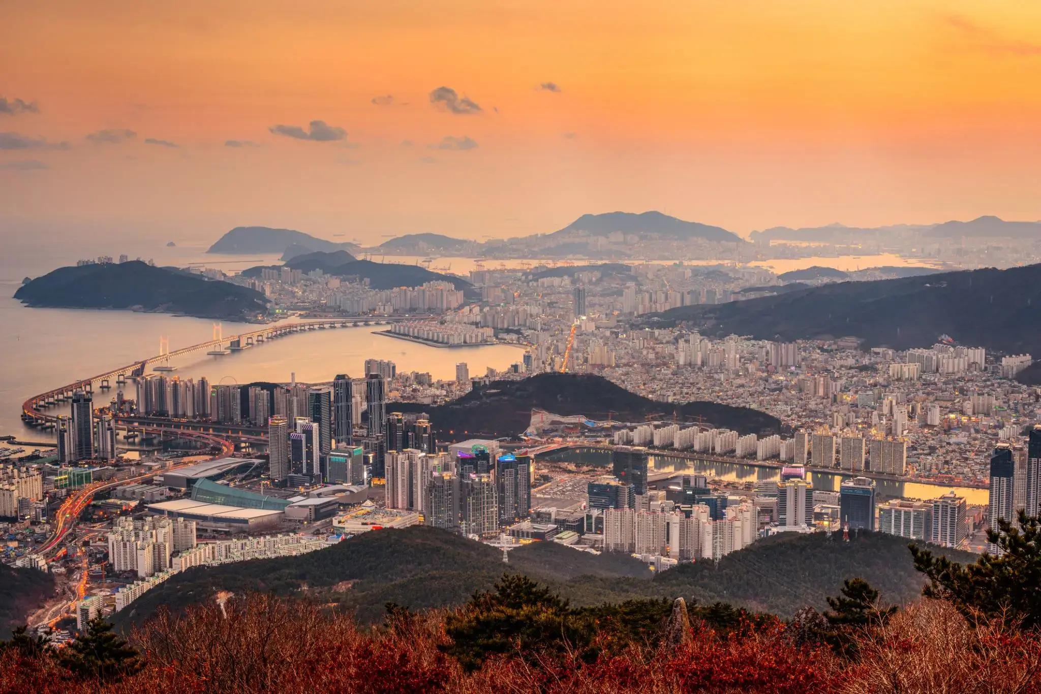
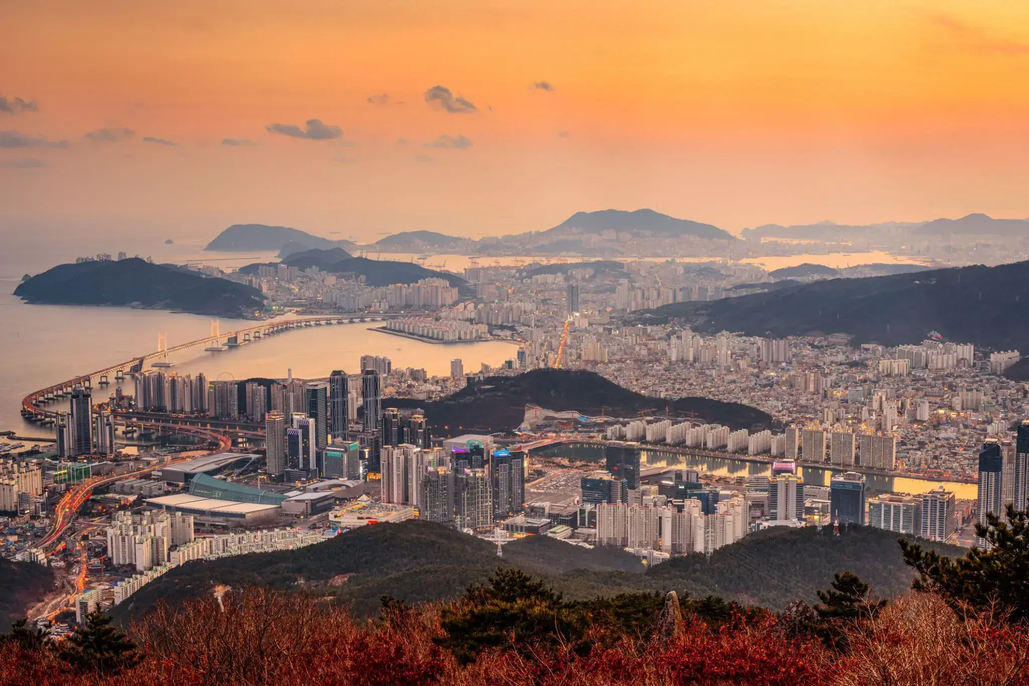
Busan, formerly known as Pusan and now officially Busan Metropolitan City, is South Korea's second most-populous city after Seoul, with a population of over 3.5 million inhabitants. It is the economic, cultural and educational center of southeastern Korea, with its port—Korea's busiest and the 9th-busiest in the world—only about 120 miles (190 km) from the Japanese islands of Kyushu and Honshu. The surrounding "Southeast Economic Zone" (including Ulsan and South Gyeongsang) is now South Korea's largest industrial area.
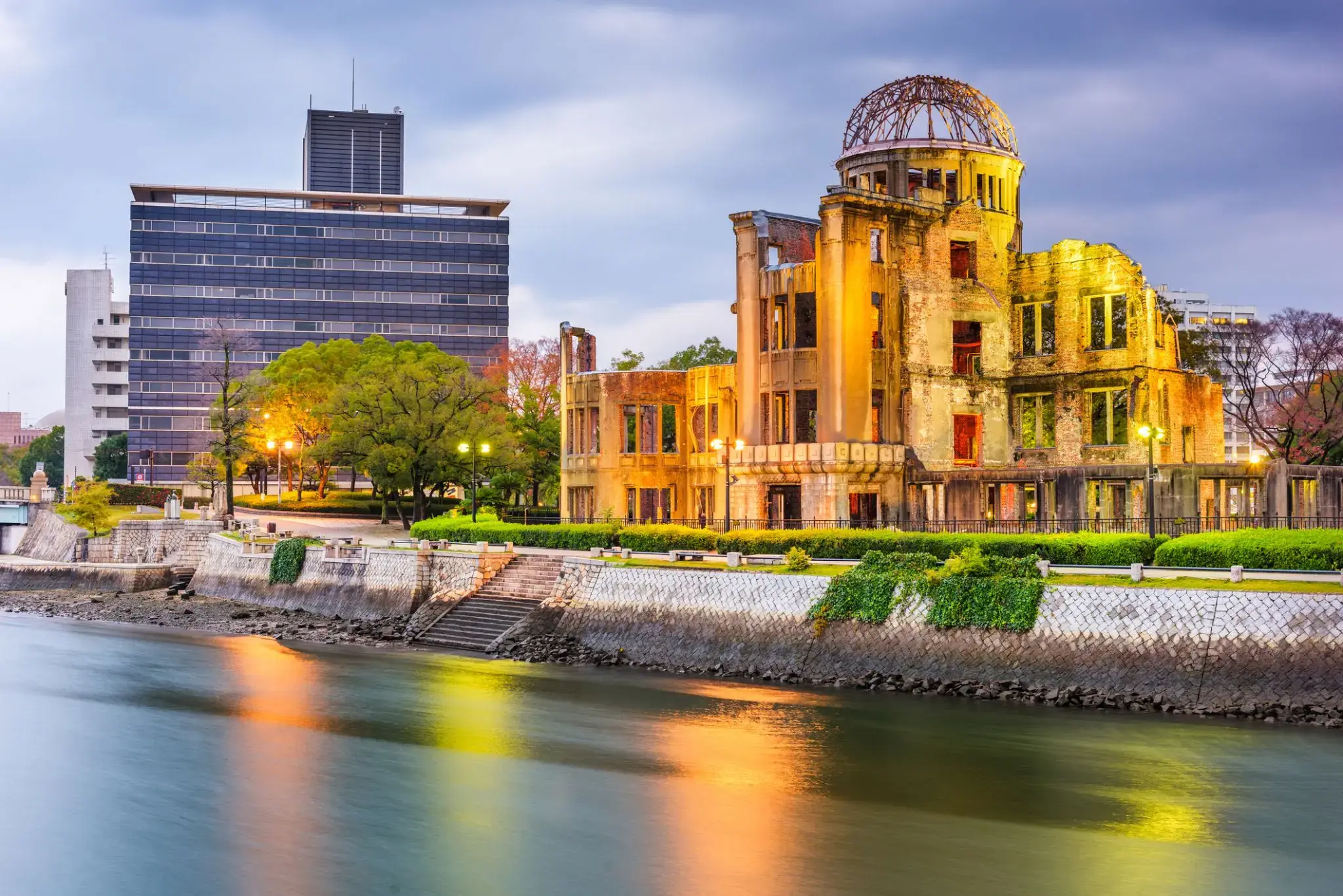
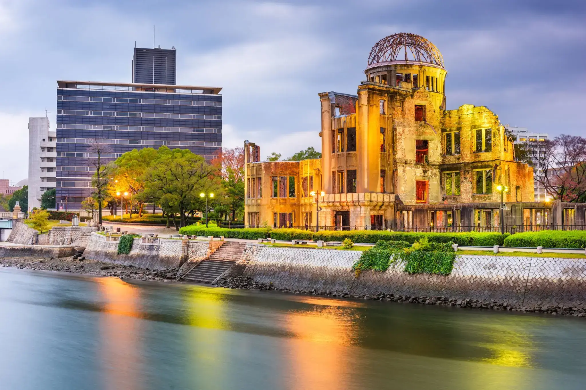
a city in southwestern Japan, on the southern coast of the island of Honshu; population 1,144,572 (2007). It was the target of the first atom bomb, which was dropped by the US on August 6, 1945, and resulted in the deaths of about one third of the city's population of 300,000. This, with a second attack on Nagasaki three days later, led to Japan's surrender and to the end of World War II.
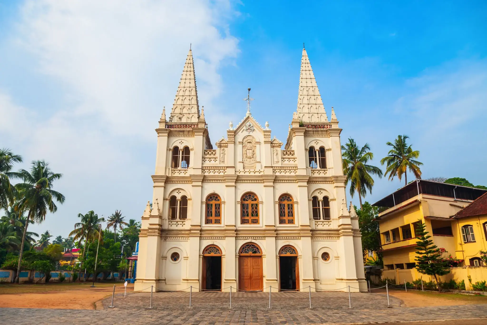
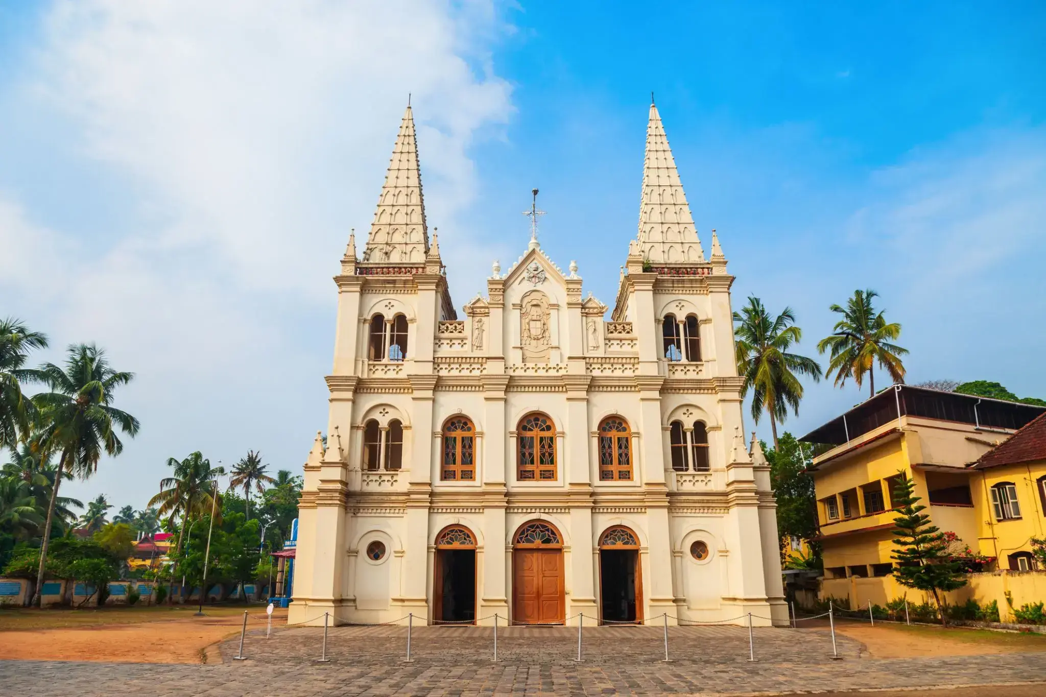
a seaport and naval base on the Malabar Coast of southwestern India, in the state of Kerala; population 254,500 (est. 2009).
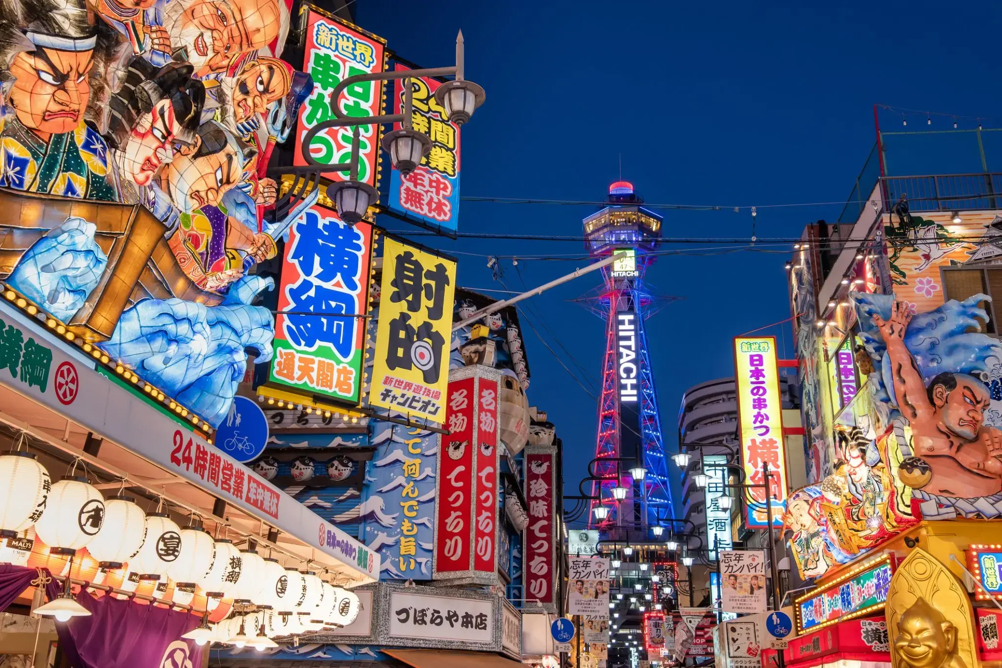
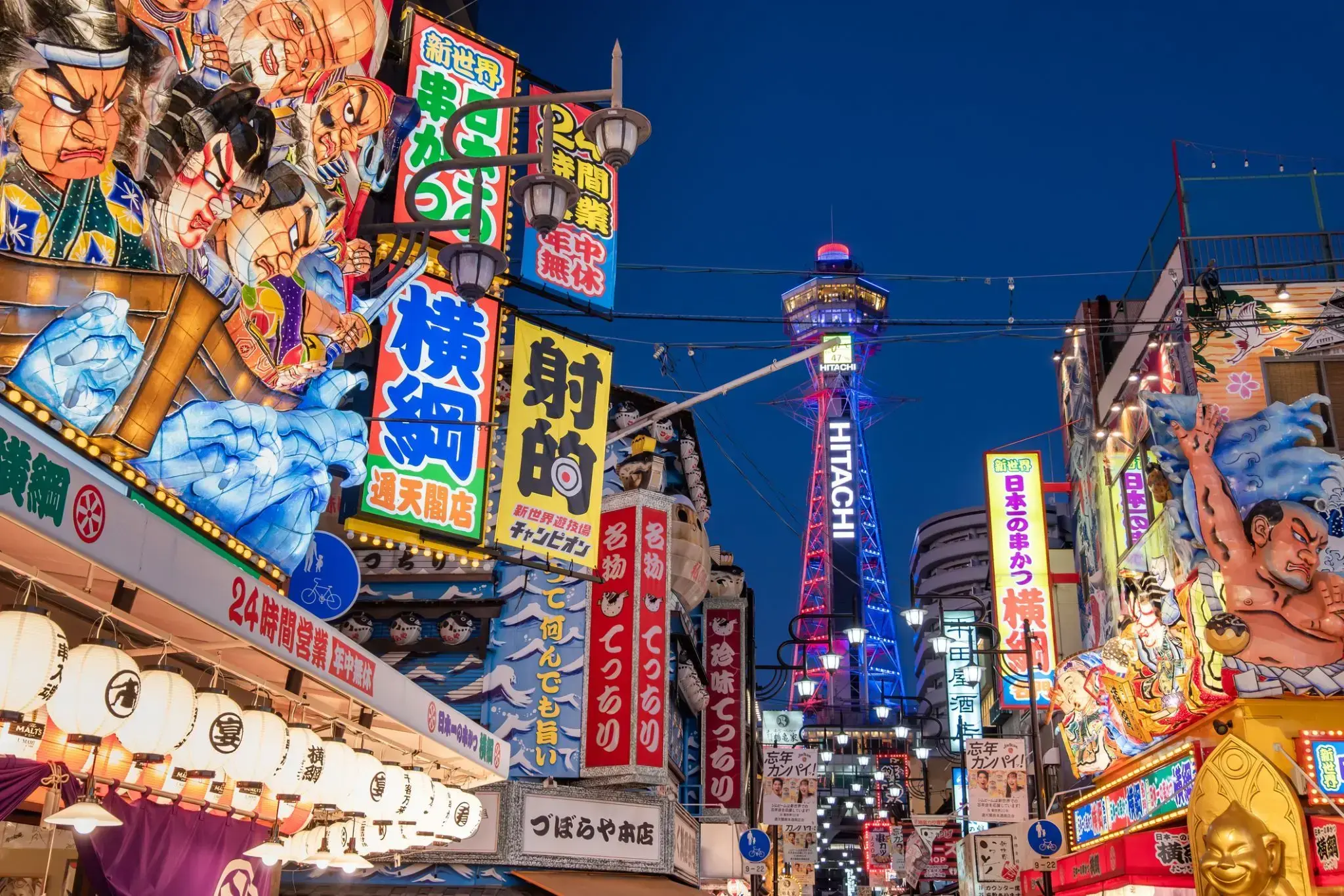
Osaka is a designated city in the Kansai regionof Japan. It is the capital city of Osaka Prefecture and the largest component of the Keihanshin Metropolitan Area, the second largest metropolitan area in Japan and among the largest in the world with over 19 million inhabitants. Osaka will host Expo 2025. The current mayor of Osaka is Hirohumi Yoshimura.
Osaka is a designated city in the Kansai regionof Japan. It is the capital city of Osaka Prefecture and the largest component of the Keihanshin Metropolitan Area, the second largest metropolitan area in Japan and among the largest in the world with over 19 million inhabitants. Osaka will host Expo 2025. The current mayor of Osaka is Hirohumi Yoshimura.
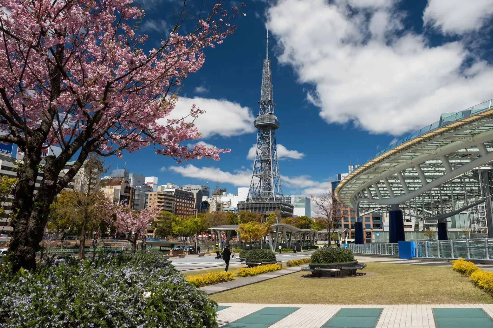
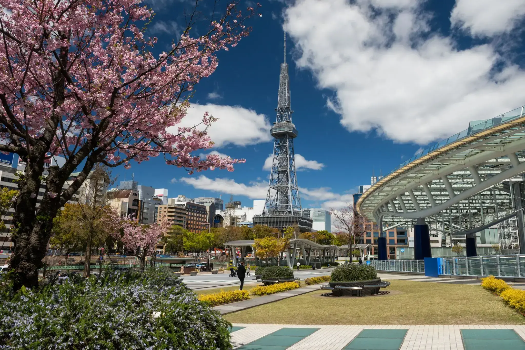
Nagoya is the largest city in the Chūbu region of Japan. It is Japan's fourth-largest incorporated city and the third-most-populous urban area. It is located on the Pacific coast on central Honshu. It is the capital of Aichi Prefectureand is one of Japan's major ports along with those of Tokyo, Osaka, Kobe, Yokohama, Chiba, and Kitakyushu. It is also the center of Japan's third-largest metropolitan region, known as the Chūkyō metropolitan area. As of 2015, 2.28 million people lived in the city, part of Chūkyō Metropolitan Area's 10.11 million people. It is also one of the 50 largest urban areas in the world.
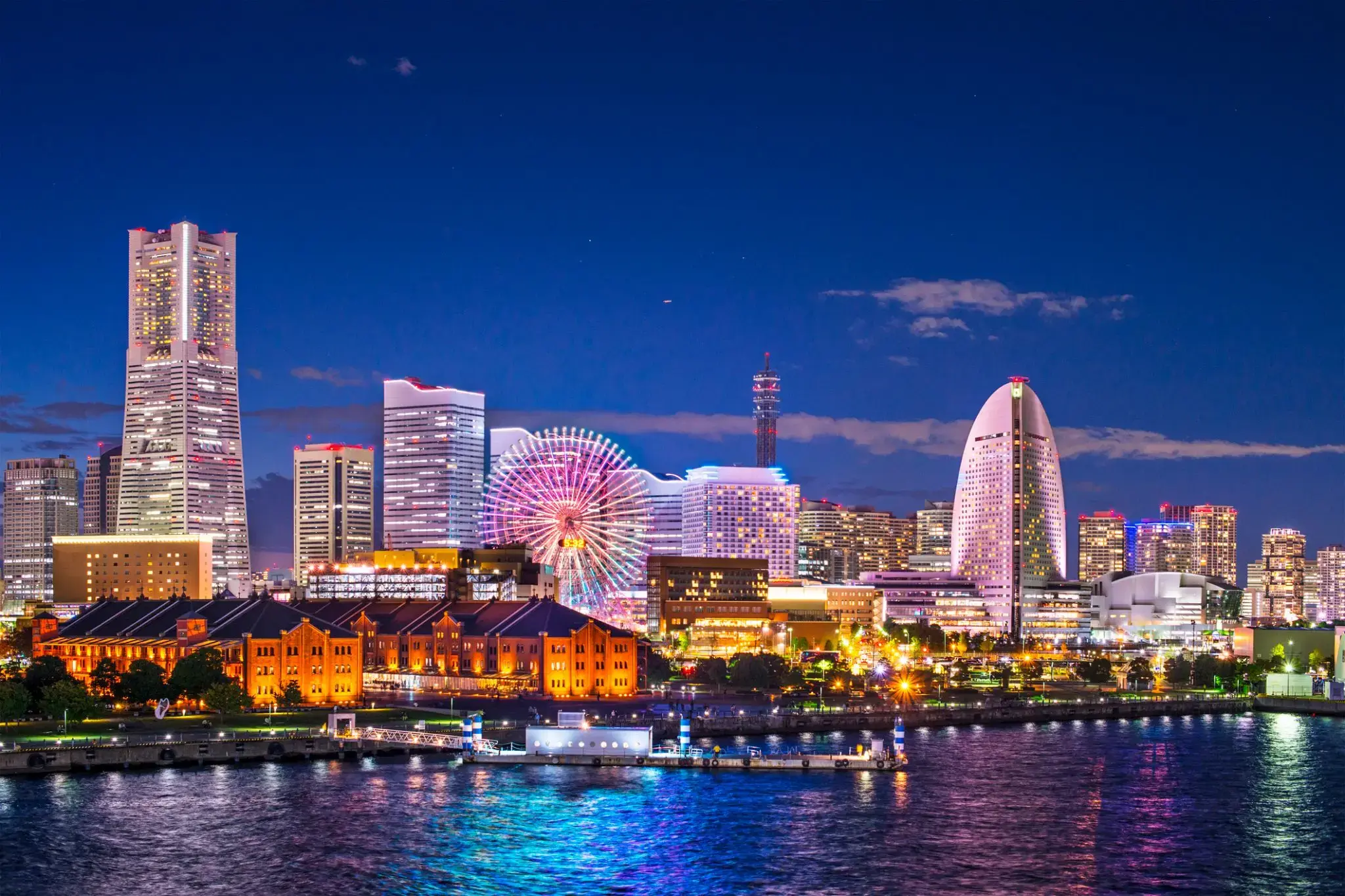
Tokyo, officially Tokyo Metropolis, one of the 47 prefectures of Japan, has served as the Japanese capital since 1869. As of 2014, the Greater Tokyo Arearanked as the most populous metropolitan area in the world. The urban area houses the seat of the Emperor of Japan, of the Japanese government and of the National Diet. Tokyo forms part of the Kantō region on the southeastern side of Japan's main island, Honshu, and includes the Izu Islands and Ogasawara Islands. Tokyo was formerly named Edo when Shōgun Tokugawa Ieyasu made the city his headquarters in 1603. It became the capital after Emperor Meiji moved his seat to the city from Kyoto in 1868; at that time Edo was renamed Tokyo. Tokyo Metropolis formed in 1943 from the merger of the former Tokyo Prefecture and the city of Tokyo. Tokyo is often referred to as a city but is officially known and governed as a "metropolitan prefecture", which differs from and combines elements of a city and a prefecture, a characteristic unique to Tokyo.
The 23 Special Wards of Tokyo were formerly Tokyo City. On July 1, 1943, it merged with Tokyo Prefecture and became Tokyo Metropolis with an additional 26 municipalities in the western part of the prefecture, and the Izu islandsand Ogasawara islands south of Tokyo. The population of the special wards is over 9 million people, with the total population of Tokyo Metropolis exceeding 13.8 million. The prefecture is part of the world's most populous metropolitan area called the Greater Tokyo Area with over 38 million people and the world's largest urban agglomeration economy. As of 2011, Tokyo hosted 51 of the Fortune Global 500 companies, the highest number of any city in the world at that time. Tokyo ranked third (twice) in the International Financial Centres Development Index. The city is home to various television networks such as Fuji TV, Tokyo MX, TV Tokyo, TV Asahi, Nippon Television, NHK and the Tokyo Broadcasting System.
Tokyo, officially Tokyo Metropolis, one of the 47 prefectures of Japan, has served as the Japanese capital since 1869. As of 2014, the Greater Tokyo Arearanked as the most populous metropolitan area in the world. The urban area houses the seat of the Emperor of Japan, of the Japanese government and of the National Diet. Tokyo forms part of the Kantō region on the southeastern side of Japan's main island, Honshu, and includes the Izu Islands and Ogasawara Islands. Tokyo was formerly named Edo when Shōgun Tokugawa Ieyasu made the city his headquarters in 1603. It became the capital after Emperor Meiji moved his seat to the city from Kyoto in 1868; at that time Edo was renamed Tokyo. Tokyo Metropolis formed in 1943 from the merger of the former Tokyo Prefecture and the city of Tokyo. Tokyo is often referred to as a city but is officially known and governed as a "metropolitan prefecture", which differs from and combines elements of a city and a prefecture, a characteristic unique to Tokyo.
The 23 Special Wards of Tokyo were formerly Tokyo City. On July 1, 1943, it merged with Tokyo Prefecture and became Tokyo Metropolis with an additional 26 municipalities in the western part of the prefecture, and the Izu islandsand Ogasawara islands south of Tokyo. The population of the special wards is over 9 million people, with the total population of Tokyo Metropolis exceeding 13.8 million. The prefecture is part of the world's most populous metropolitan area called the Greater Tokyo Area with over 38 million people and the world's largest urban agglomeration economy. As of 2011, Tokyo hosted 51 of the Fortune Global 500 companies, the highest number of any city in the world at that time. Tokyo ranked third (twice) in the International Financial Centres Development Index. The city is home to various television networks such as Fuji TV, Tokyo MX, TV Tokyo, TV Asahi, Nippon Television, NHK and the Tokyo Broadcasting System.
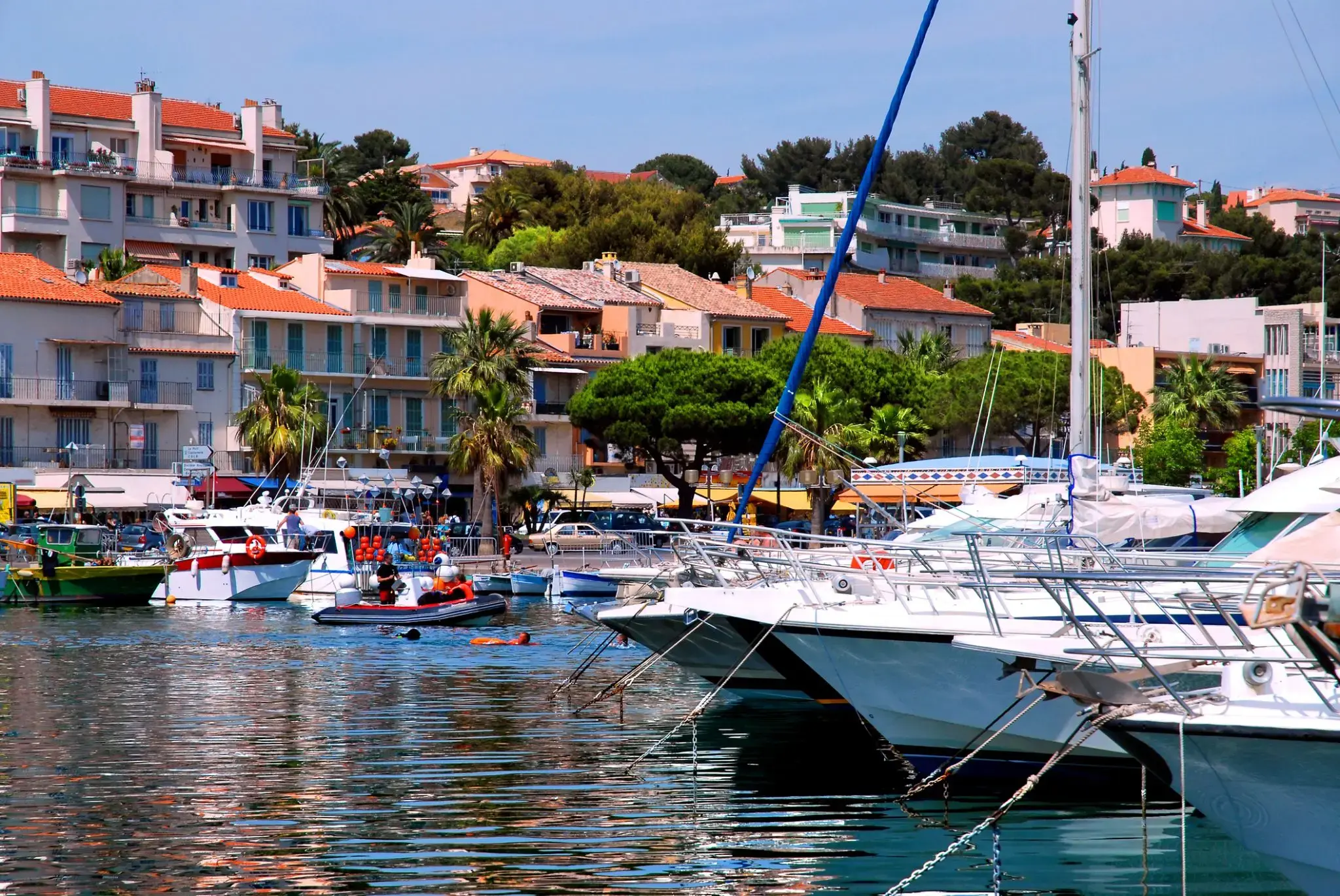
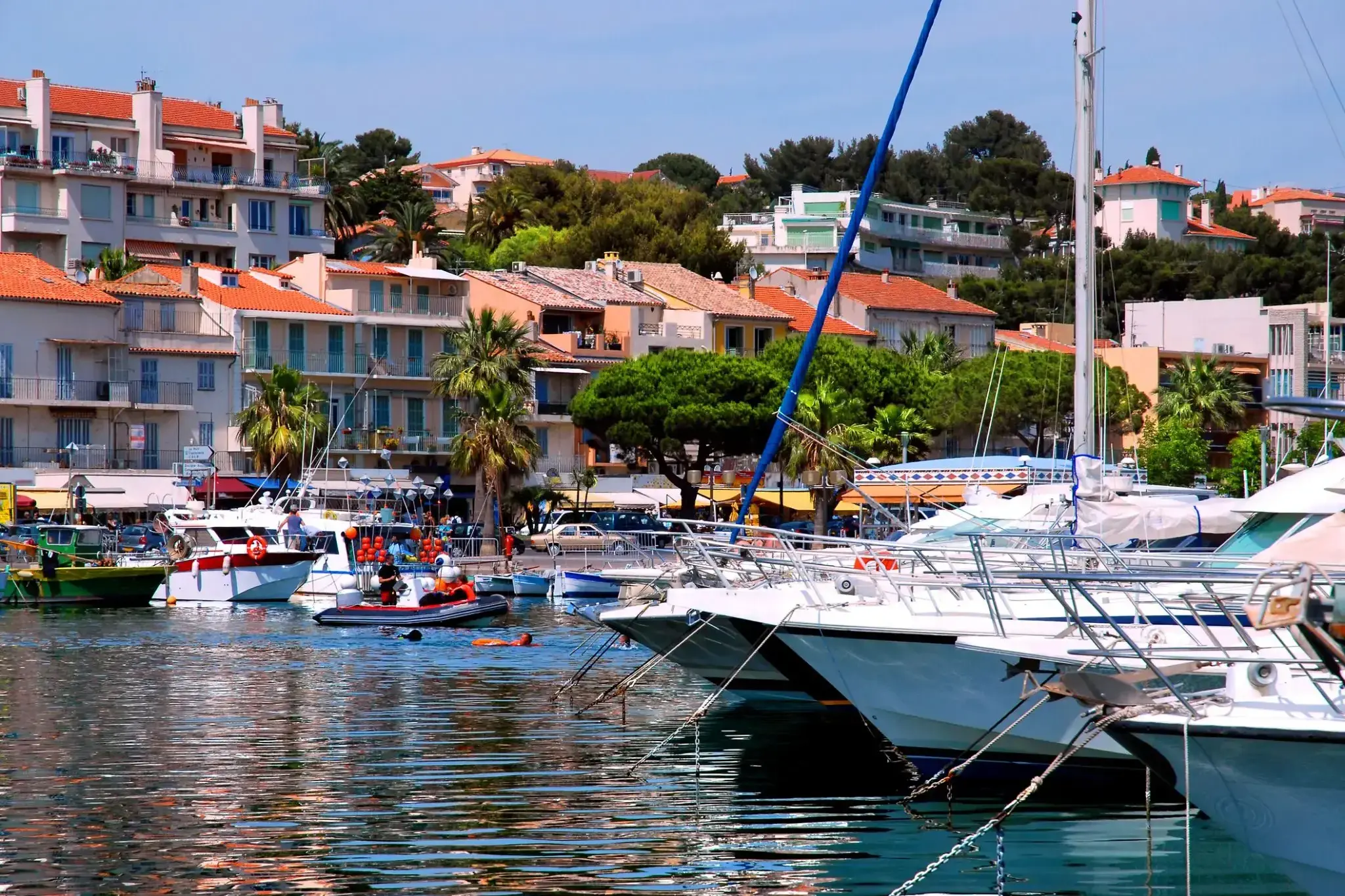
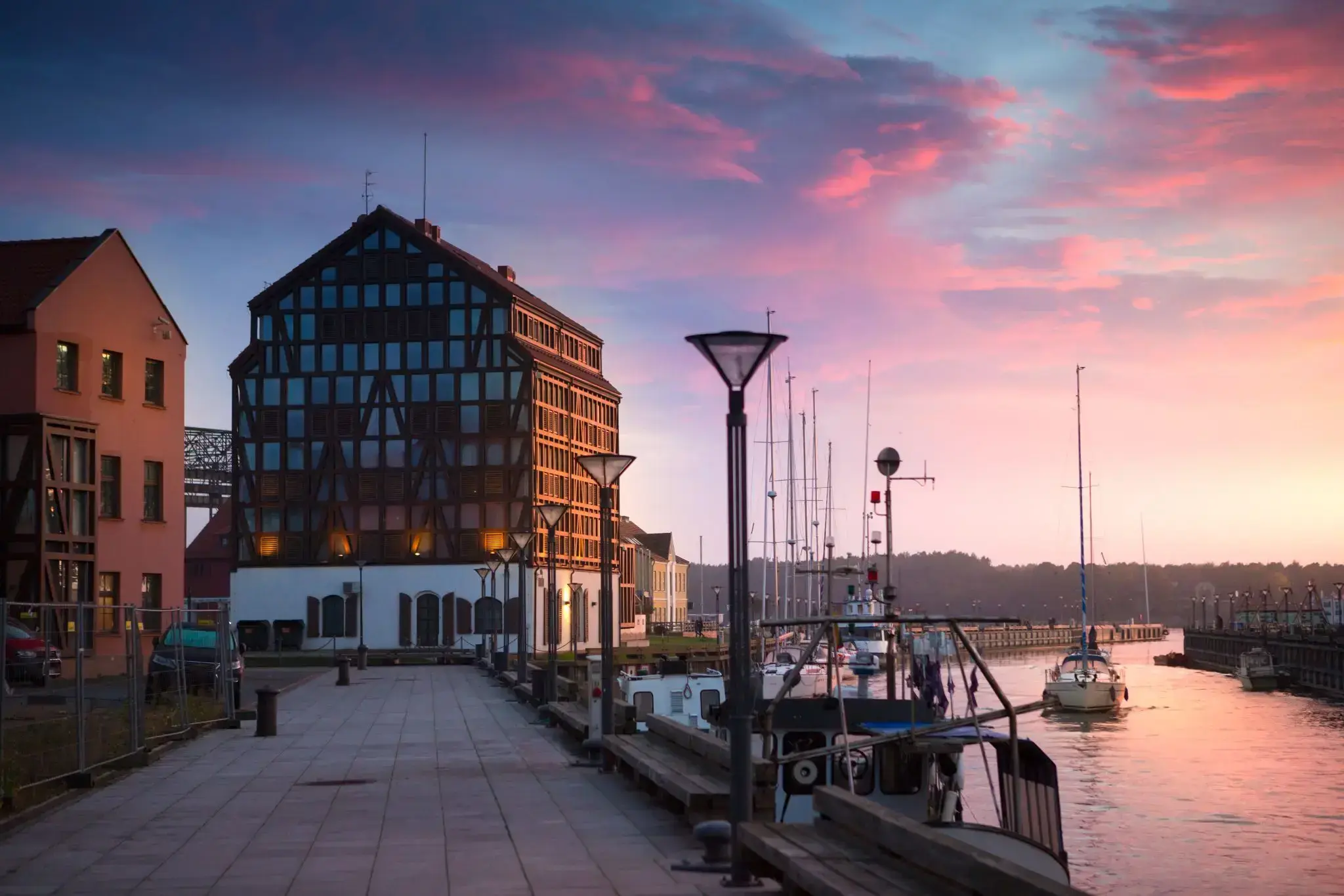
Bandol is a commune in Var department, Provence-Alpes-Côte d'Azur region, southeastern France. Bandol and the seat of its eponymous commune, was founded in 1595 and built around a small military fort.
The Bandol wine region, located near the coast east of Marseille and Cassis, is one of Provence’s most internationally recognized wine regions. Built around the village of Bandol, west of Toulon, the Bandol AOC covers the production of 8 communes with silicon & limestone soils. Those soils and the warm, coastal climate are ideally suited for the late ripening Mourvèdre grape which is the major variety of the region. For both the red and rosé wines, Mourvèdre must account for at least 50% of the blend, though most producers will use significantly more, with Grenache & Cinsaut usually filling out the rest of the wine’s composition.
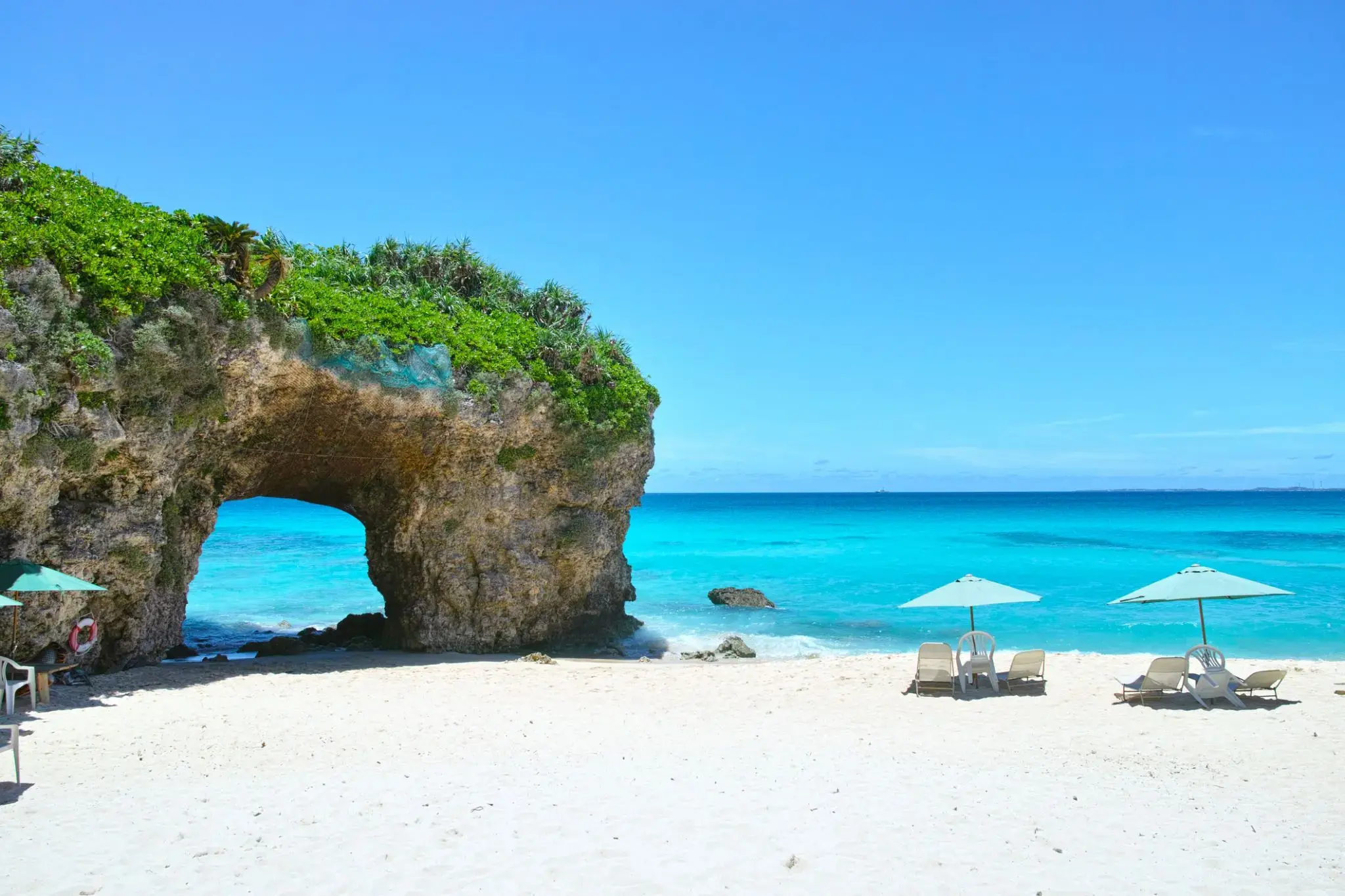
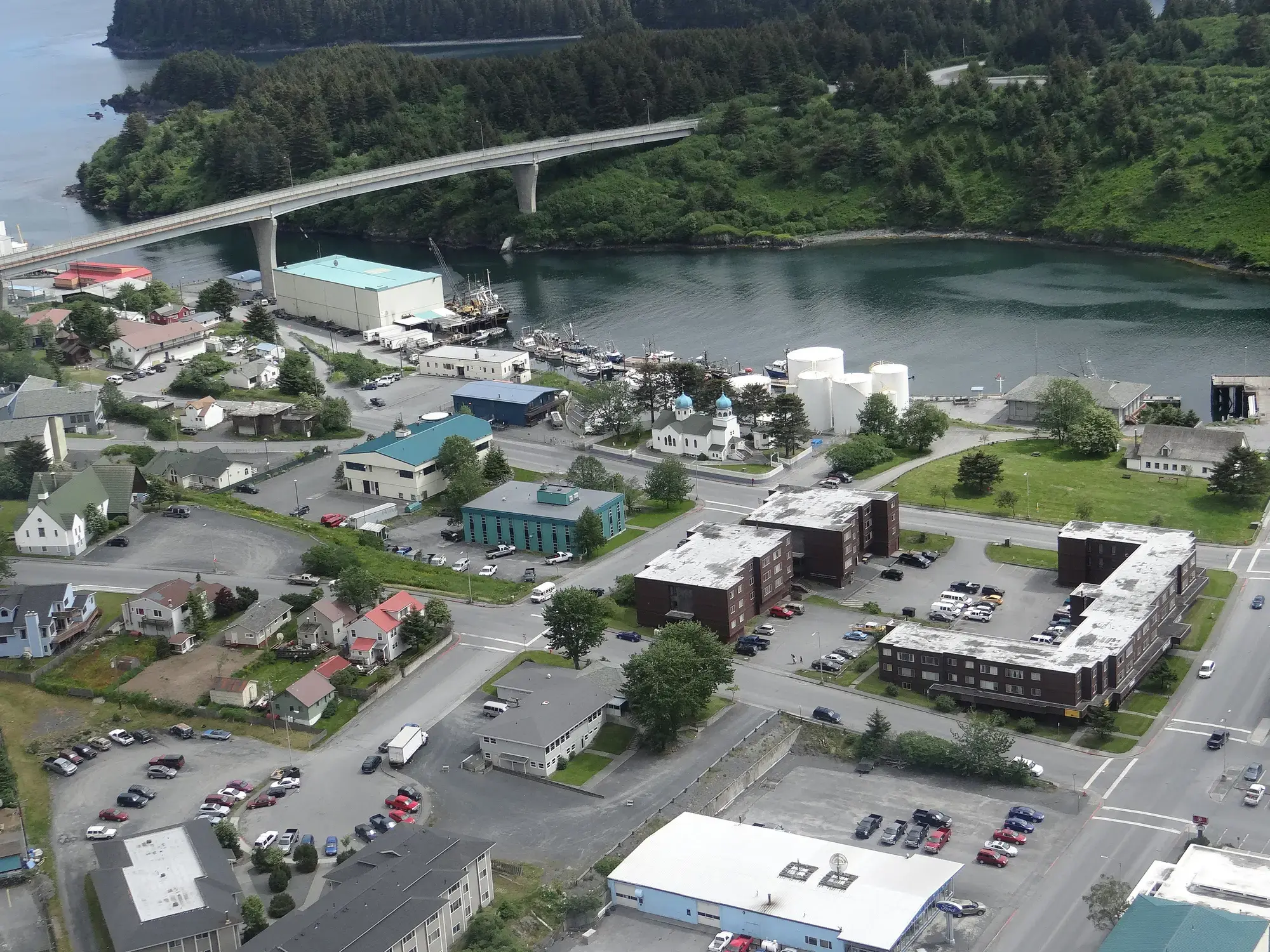
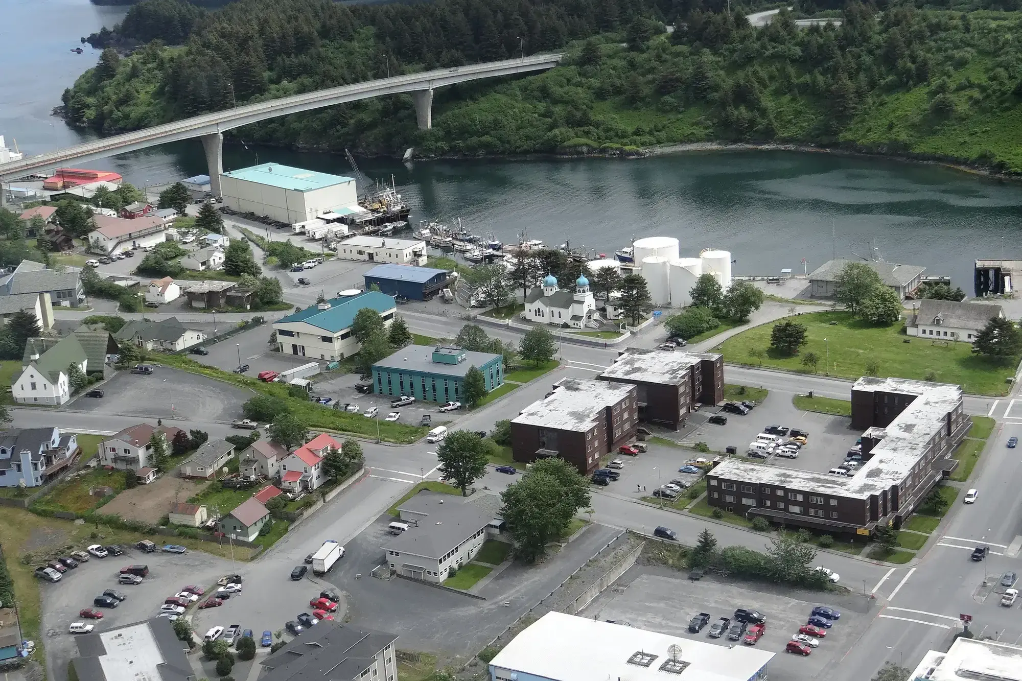
Kodiak is one of seven communities and the main city on Kodiak Island, Kodiak Island Borough, in the U.S. state of Alaska. All commercial transportation between the entire island and the outside world goes through this city either via ferryboat or airline. The population was 6,130 as of the 2010 census. 2014 estimates put the population at 6,304.
Originally inhabited by Alutiiq natives for over 7,000 years, the city was settled in the 18th century by the subjects of the Russian crown and became the capital of Russian Alaska.
Harvesting of the area's sea otter pelts led to the near extinction of the animal in the following century and led to wars with and enslavement of the natives for over 150 years.
After the Alaska Purchase by the United States in 1867, Kodiak became a commercial fishing center which continues to be the mainstay of its economy. A lesser economic influence includes tourism, mainly by those seeking outdoor adventure trips. Salmon, halibut, the unique Kodiak bear, elk, Sitka deer (black tail), and mountain goats attract hunting tourists as well as fishermen to the Kodiak Archipelago. The Alaska Department of Fish and Game maintains an office in the city and a website to help hunters and fishermen obtain the proper permits and learn about the laws specific to the Kodiak area.
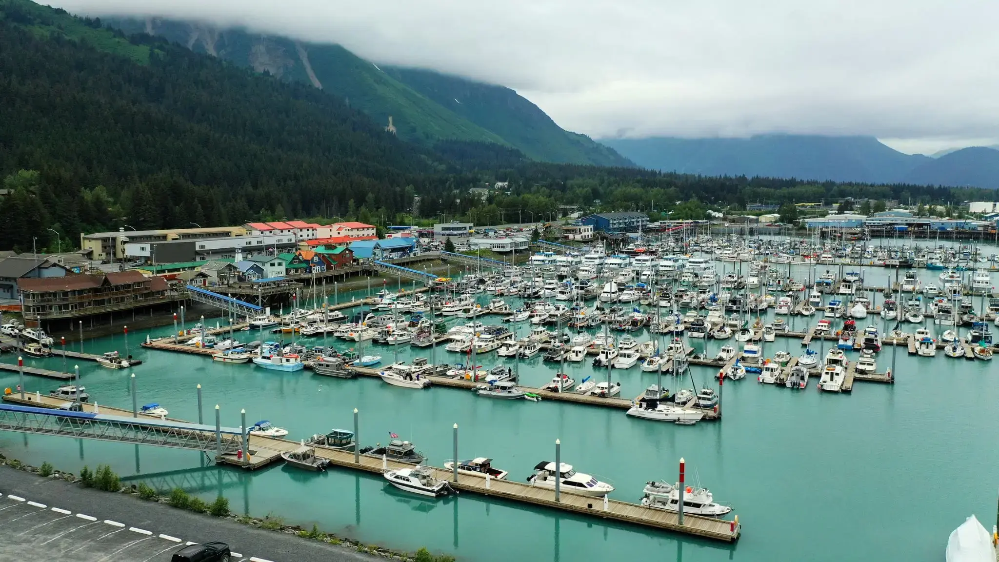
Seward is an incorporated home rule city in Alaska, United States. Located on Resurrection Bay, a fjord of the Gulf of Alaska on the Kenai Peninsula, Seward is situated on Alaska's southern coast, approximately 120 miles by road from Alaska's largest city, Anchorage, and nearly 1,300 miles from the closest point in the contiguous United States at Cape Flattery, Washington.
With an estimated permanent population of 2,831 people as of 2017, Seward is the fourth-largest city in the Kenai Peninsula Borough, behind Kenai, Homer, and the borough seat of Soldotna. The city is named for former U.S. Secretary of State William H. Seward, who orchestrated the United States' purchase of Alaska from the Russian Empire in 1867 while serving in this position as part of President Andrew Johnson's administration.
Seward is the southern terminus of the Alaska Railroad and the historic starting point of the original Iditarod Trail to the Alaskan interior, with Mile 0 of the trail marked on the shoreline at the southern end of town.
Bandol is a commune in Var department, Provence-Alpes-Côte d'Azur region, southeastern France. Bandol and the seat of its eponymous commune, was founded in 1595 and built around a small military fort.
The Bandol wine region, located near the coast east of Marseille and Cassis, is one of Provence’s most internationally recognized wine regions. Built around the village of Bandol, west of Toulon, the Bandol AOC covers the production of 8 communes with silicon & limestone soils. Those soils and the warm, coastal climate are ideally suited for the late ripening Mourvèdre grape which is the major variety of the region. For both the red and rosé wines, Mourvèdre must account for at least 50% of the blend, though most producers will use significantly more, with Grenache & Cinsaut usually filling out the rest of the wine’s composition.
Bandol is a commune in Var department, Provence-Alpes-Côte d'Azur region, southeastern France. Bandol and the seat of its eponymous commune, was founded in 1595 and built around a small military fort.
The Bandol wine region, located near the coast east of Marseille and Cassis, is one of Provence’s most internationally recognized wine regions. Built around the village of Bandol, west of Toulon, the Bandol AOC covers the production of 8 communes with silicon & limestone soils. Those soils and the warm, coastal climate are ideally suited for the late ripening Mourvèdre grape which is the major variety of the region. For both the red and rosé wines, Mourvèdre must account for at least 50% of the blend, though most producers will use significantly more, with Grenache & Cinsaut usually filling out the rest of the wine’s composition.
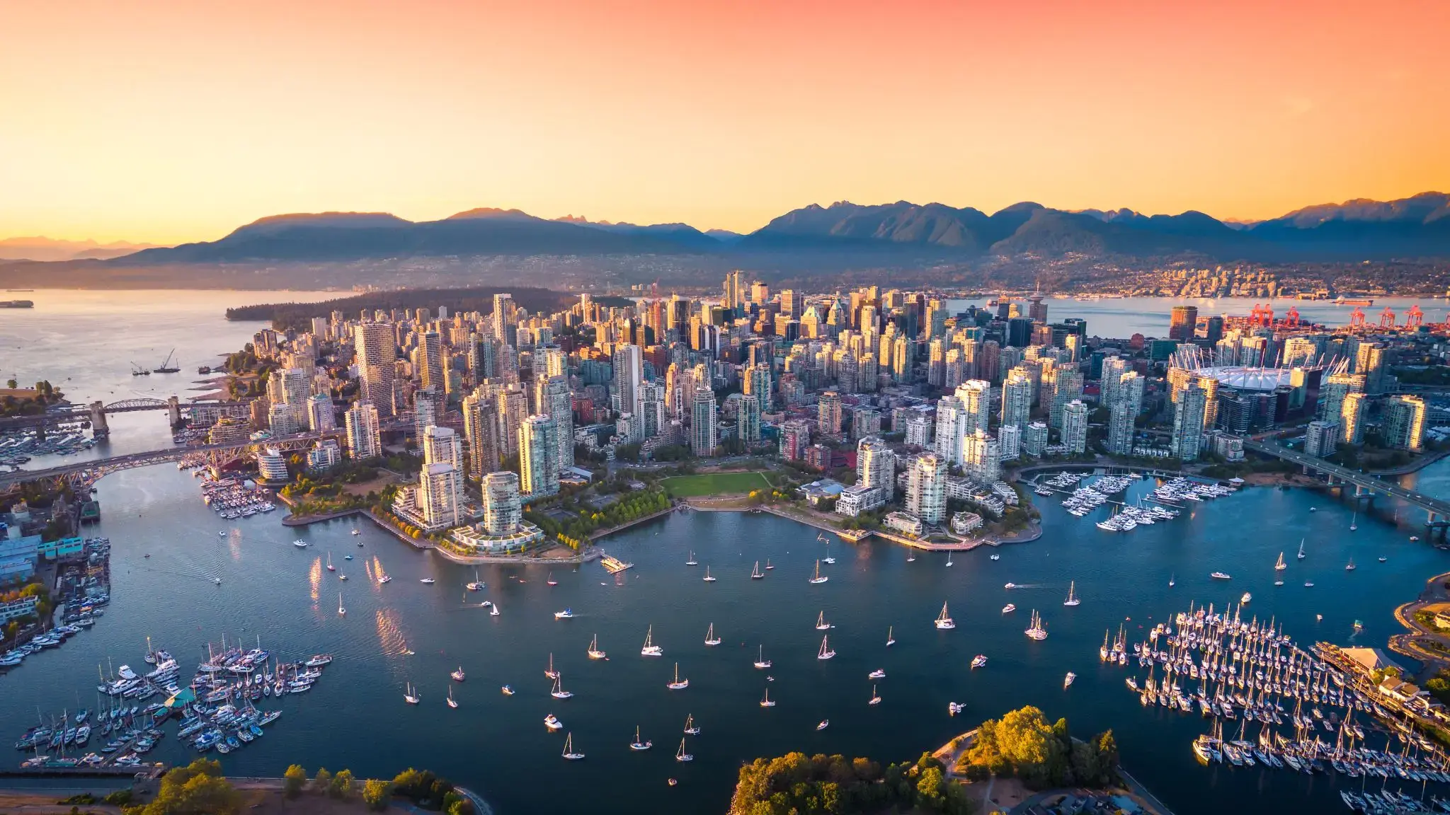
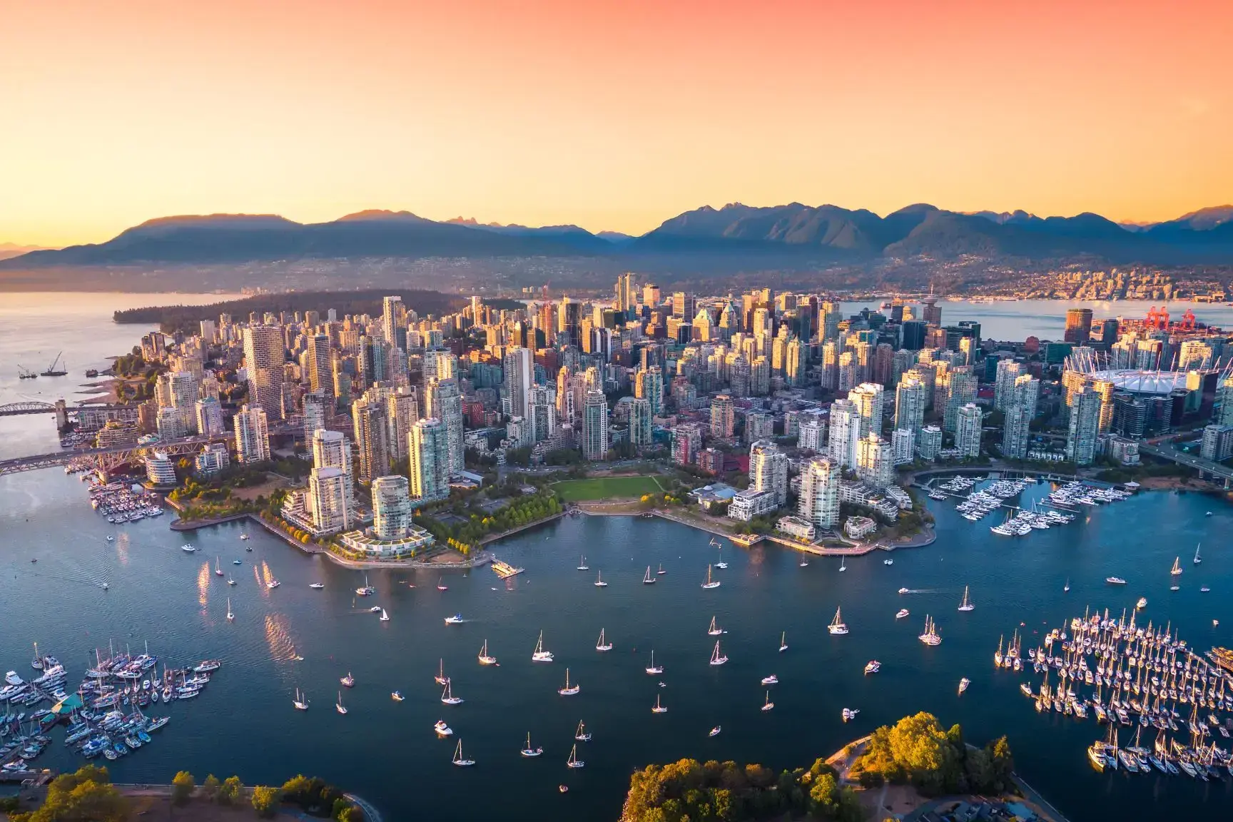
Vancouver is a coastal seaport city in western Canada, located in the Lower Mainland region of British Columbia. As the most populous city in the province, the 2016 census recorded 631,486 people in the city, up from 603,502 in 2011. The Greater Vancouver area had a population of 2,463,431 in 2016, making it the third-largest metropolitan area in Canada. Vancouver has the highest population density in Canada with over 5,400 people per square kilometre, which makes it the fifth-most densely populated city with over 250,000 residents in North America behind New York City, Guadalajara, San Francisco, and Mexico City according to the 2011 census. Vancouver is one of the most ethnically and linguistically diverse cities in Canada according to that census; 52% of its residents have a first language other than English.[8][9] Roughly 30% of the city's inhabitants are of Chineseheritage. Vancouver is classed as a Beta global city.
Vancouver is consistently named as one of the top five worldwide cities for livability and quality of life, and the Economist Intelligence Unit acknowledged it as the first city ranked among the top-ten of the world's most well-living cities for five consecutive years. Vancouver has hosted many international conferences and events, including the 1954 British Empire and Commonwealth Games, UN Habitat I, Expo 86, the World Police and Fire Games in 1989 and 2009; and the 2010 Winter Olympics and Paralympics which were held in Vancouver and Whistler, a resort community 125 km (78 mi) north of the city. In 2014, following thirty years in California, the TED conference made Vancouver its indefinite home. Several matches of the 2015 FIFA Women's World Cup were played in Vancouver, including the final at BC Place.
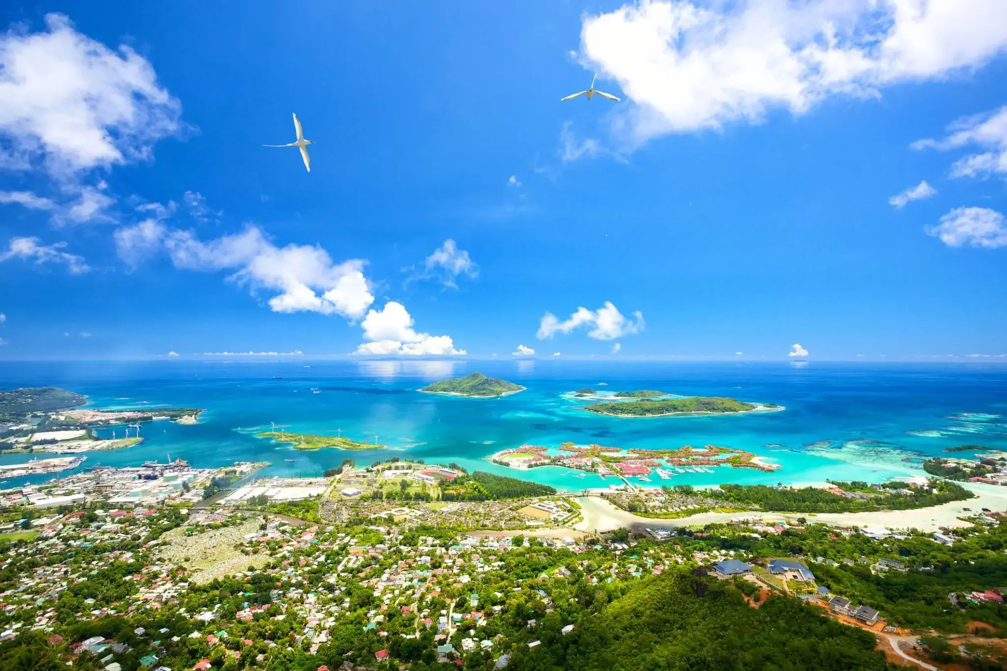
Turkusowe wody i bujne dżungle otaczają Wiktorię na wyspie Mahé, stolicę Seszeli i jedną z najmniejszych stolic na świecie. Tutaj kolorowe targi z egzotycznymi owocami i przyprawami łączą się z architekturą z czasów kolonialnych, a w centrum miasta znajduje się miniaturowa replika londyńskiego Big Bena – jeden z symboli Wiktorii. W pobliżu turyści mogą odwiedzić Ogród Botaniczny, gdzie rosną rzadkie gatunki palm i storczyków, a także zobaczyć olbrzymie żółwie w ich naturalnym środowisku.
Podróż do Wiktorii to okazja, by poczuć powolny rytm życia Seszeli i cieszyć się prawdziwie tropikalną atmosferą. Spacer nadbrzeżem, wizyta w Narodowej Galerii Sztuki lub degustacja świeżo złowionych ryb w lokalnych kawiarniach pozwolą lepiej poznać kulturę i codzienność mieszkańców wyspy. Zaledwie kilka minut od centrum rozpoczynają się plaże z białym piaskiem i lazurową wodą, zapraszając do podwodnych przygód wśród raf koralowych Mahé.
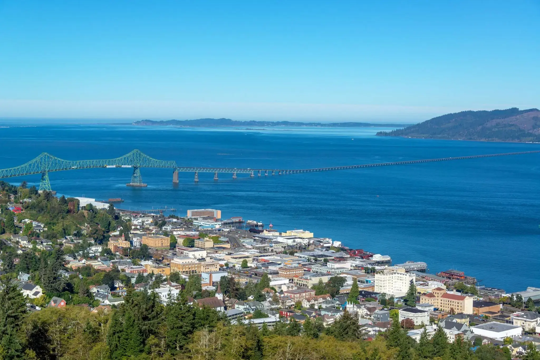
Historyczny port nad brzegiem rzeki Kolumbia otwiera drzwi do świata przygód i malowniczych krajobrazów, gdzie bogate dziedzictwo kulturowe łączy się z naturalnym pięknem. W tym regionie turyści mogą poczuć atmosferę XIX wieku, spacerując wśród starych budynków i muzeów oraz degustując świeże owoce morza w przytulnych restauracjach nadbrzeżnych. Astoria jest znana nie tylko jako pierwsza stała europejska osada na zachodnim wybrzeżu USA, ale także jako popularne miejsce dla miłośników wędkarstwa i obserwacji ptaków.
Piękno natury wokół Astorii zachwyca różnorodnością: od majestatycznych plaż po gęste lasy Parku Narodowego Forest Grove. Miłośnicy aktywnego wypoczynku znajdą tu doskonałe warunki do wędrówek pieszych, jazdy na rowerze i kajakarstwa, a spokojne wody rzeki Kolumbia oraz malownicze otoczenie tworzą idealne miejsce do relaksu i inspiracji. To miasteczko na wybrzeżu Pacyfiku obiecuje wyjątkowe doświadczenia, gdzie historia i natura harmonijnie przenikają się w każdym zakątku.
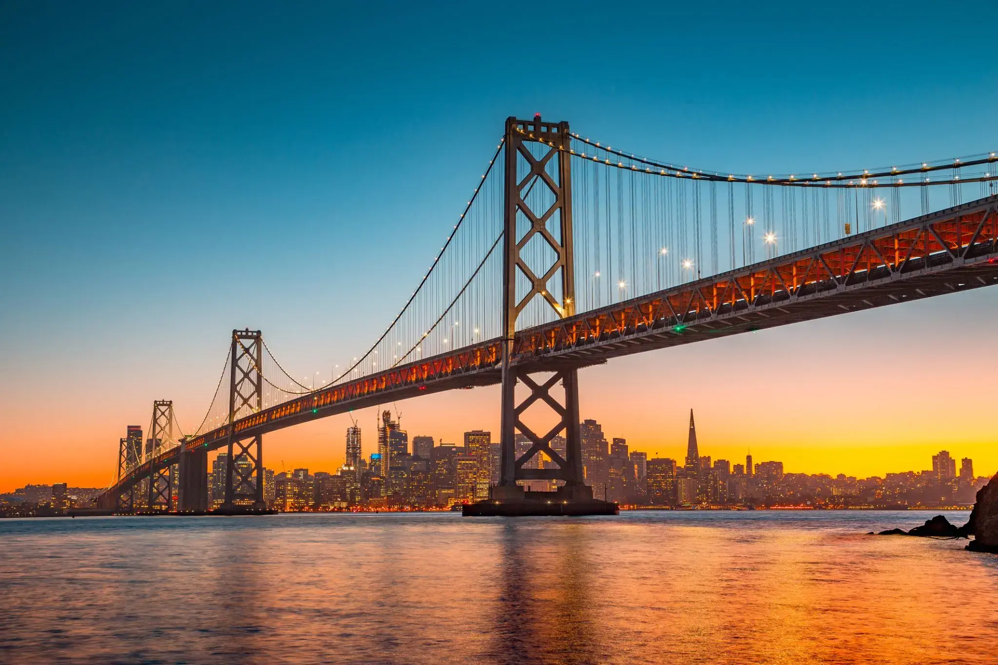
San Francisco , officially the City and County of San Francisco, is the cultural, commercial, and financial center of Northern California. San Francisco is the 13th-most populous city in the United States, and the fourth-most populous in California, with 884,363 residents as of 2017. It covers an area of about 46.89 square miles (121.4 km2), mostly at the north end of the San Francisco Peninsula in the San Francisco Bay Area, making it the second-most densely populated large US city, and the fifth-most densely populated U.S. county, behind only four of the five New York City boroughs. San Francisco is also part of the fifth-most populous primary statistical area in the United States, the San Jose–San Francisco–Oakland, CA Combined Statistical Area (9.7 million residents).
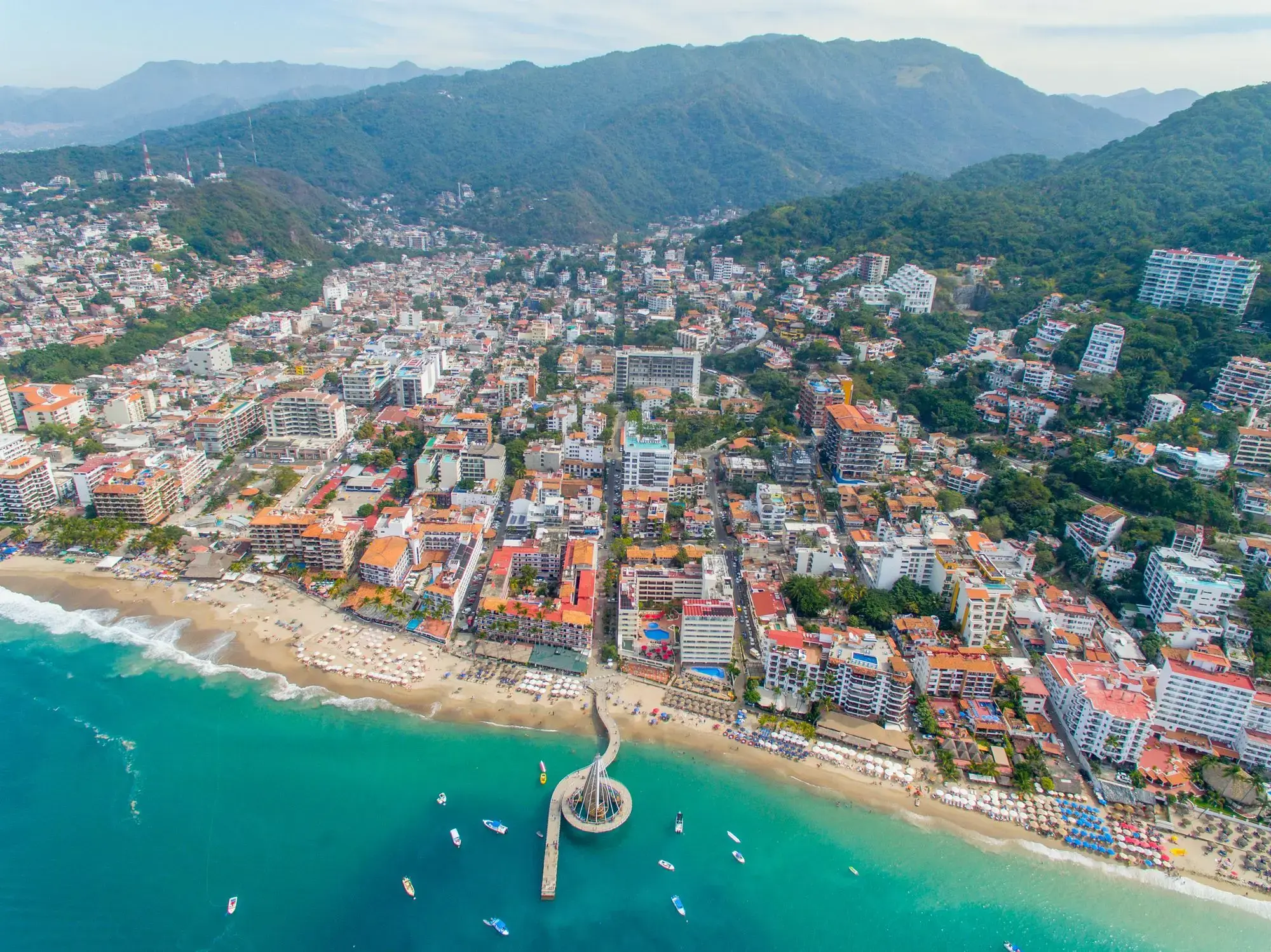
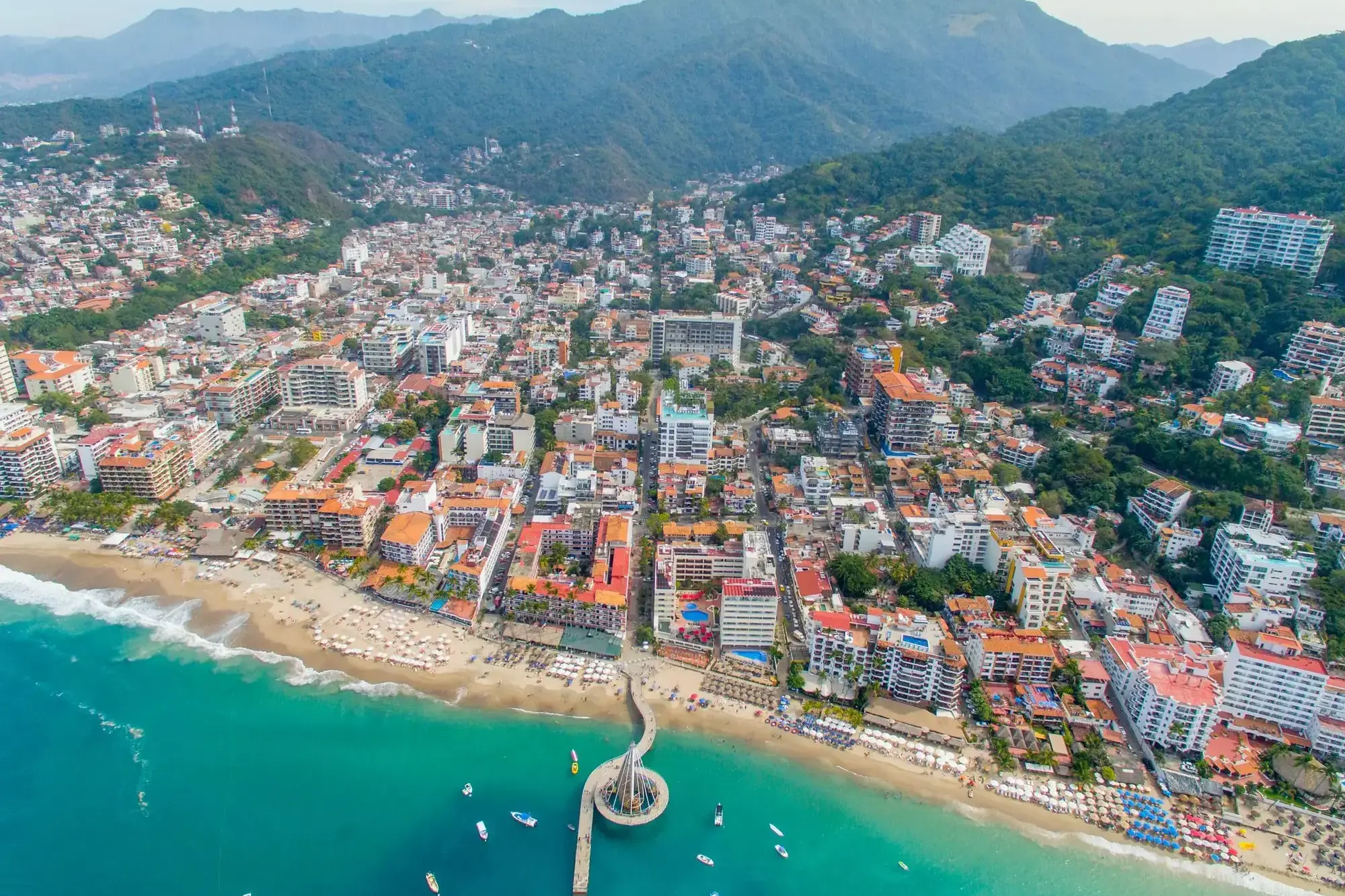
Ciepła morska bryza wita gości w Puerto Vallarta, malowniczym kurorcie na wybrzeżu Pacyfiku, gdzie góry Sierra Madre spotykają się ze złotymi plażami. Miasto słynie z przytulnej atmosfery, wąskich brukowanych uliczek w historycznym centrum oraz słynnej promenady Malecon, ozdobionej nowoczesnymi rzeźbami i sztuką uliczną. Tutaj można nie tylko cieszyć się słońcem, ale także obserwować wieloryby w zatoce Banderas w sezonie migracyjnym.
Dla podróżnych Puerto Vallarta oferuje bogatą kulturę i kulinarne doznania – od tradycyjnych tacos i świeżych owoców morza po galerie sztuki i meksykańskie festiwale muzyczne. Miasto jest również popularne wśród miłośników nurkowania i snorkelingu dzięki rafom koralowym i krystalicznie czystej wodzie. To miejsce, gdzie można połączyć relaks nad oceanem z odkrywaniem natury i życia kulturalnego Meksyku.
Puerto Quetzal to ważne miasto portowe na wybrzeżu Gwatemali, położone w regionie Pacyfiku. Jest jednym z najpopularniejszych portów docelowych dla statków wycieczkowych, co czyni go istotnym węzłem transportowym i głównym wejściem dla podróżnych przybywających do kraju. Puerto Quetzal jest także punktem wyjścia do odkrywania cudów przyrody Gwatemali, w tym słynnych wulkanów i malowniczych plaż. W pobliżu znajdują się takie atrakcje, jak wulkan Acatenango i Park Narodowy Monterrico, który słynie z ekosystemu oraz plaż odpowiednich do surfingu.
Oprócz piękna przyrody Puerto Quetzal przyciąga podróżnych swoją unikalną atmosferą. Miasto zachowało klimat wybrzeża Pacyfiku z urokliwymi wioskami rybackimi i restauracjami, w których można skosztować świeżych owoców morza. Jego strategiczne położenie i rozwinięta infrastruktura sprawiają, że Puerto Quetzal jest wygodnym punktem wyjścia do podróży po Gwatemali, zarówno dla tych, którzy chcą odkrywać starożytne ruiny Majów, takie jak Tikal, jak i dla tych, którzy szukają relaksu na plaży.
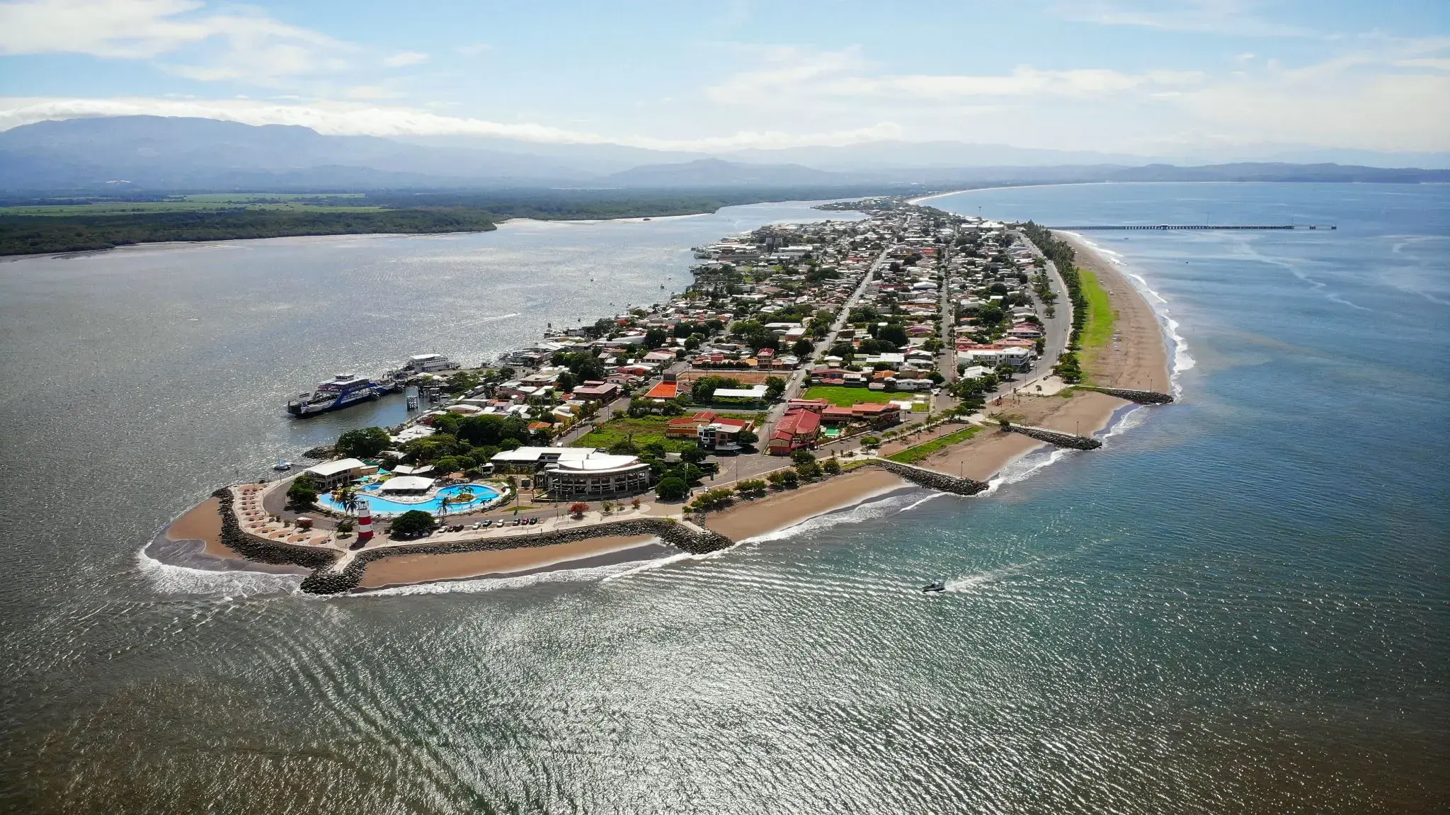
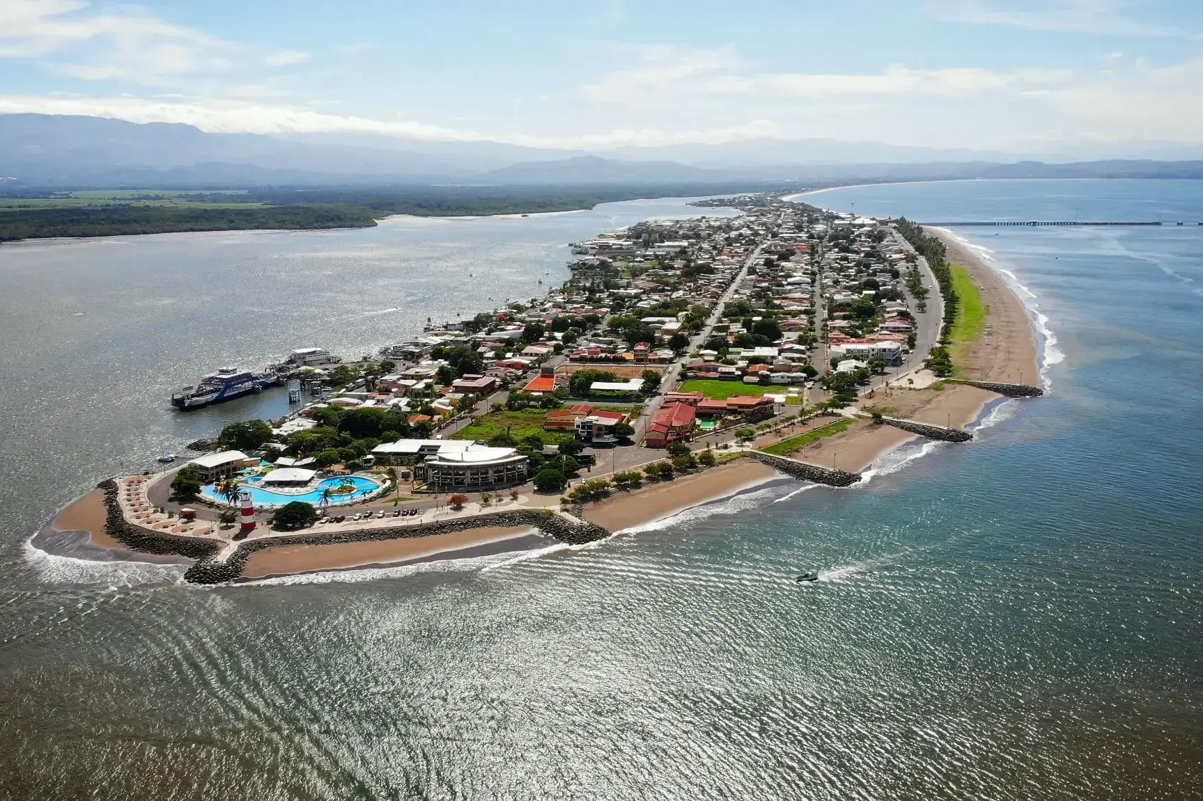
Puntarenas is the capital and largest city in the Province of Puntarenas, on the Pacific coast of Costa Rica.
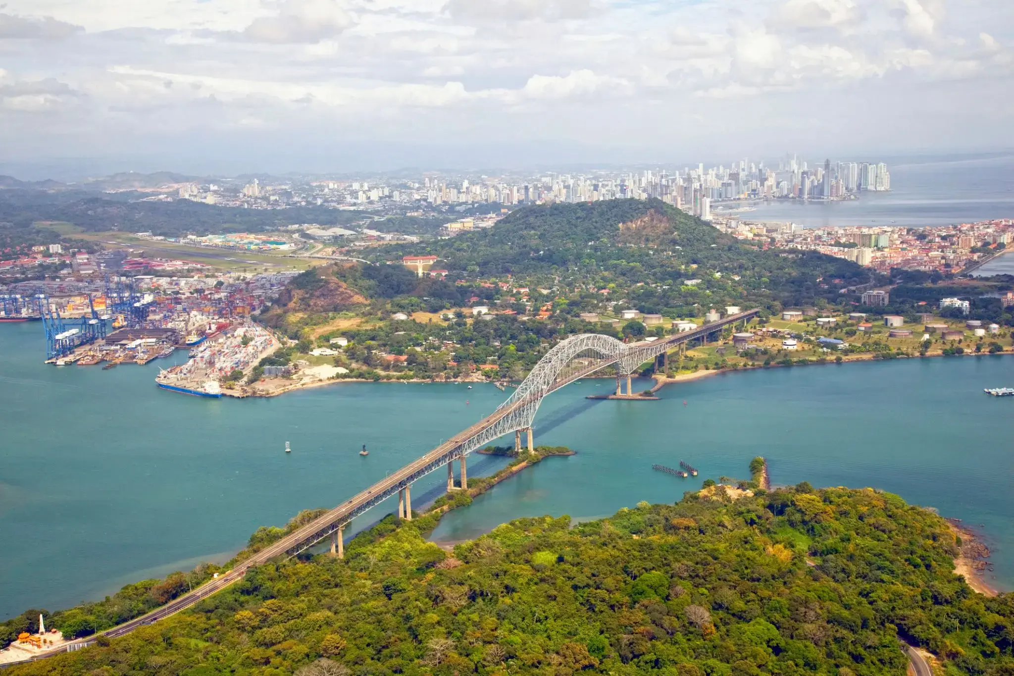
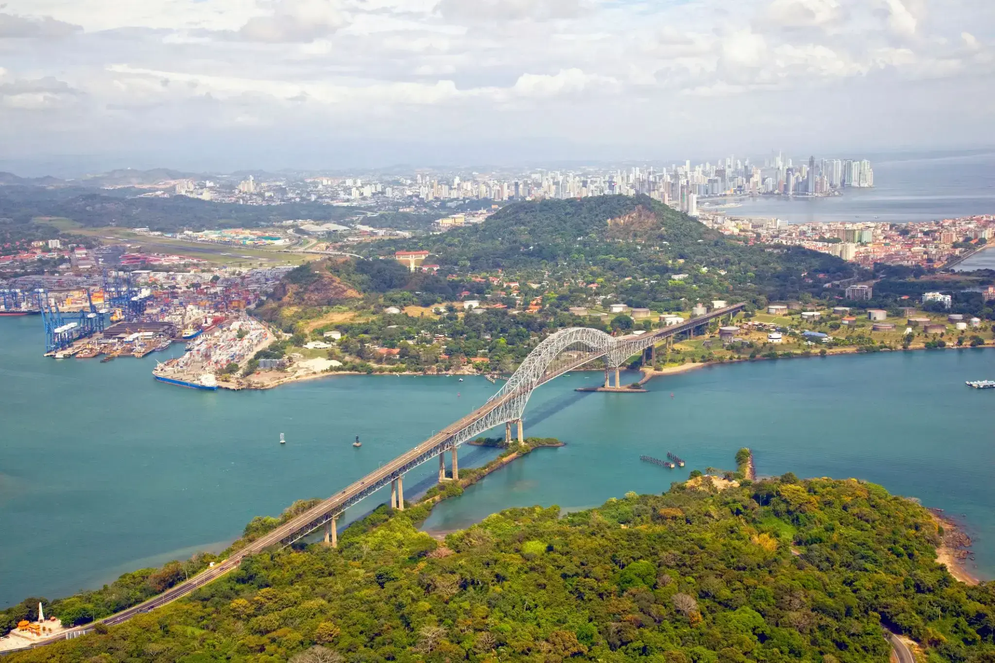
The Panama Canal is an artificial 82 km (51 mi) waterway in Panama that connects the Atlantic Ocean with the Pacific Ocean. The canal cuts across the Isthmus of Panama and is a conduit for maritime trade. Canal locks are at each end to lift ships up to Gatun Lake, an artificial lake created to reduce the amount of excavation work required for the canal, 26 m (85 ft) above sea level, and then lower the ships at the other end. The original locks are 34 m (110 ft) wide. A third, wider lane of locks was constructed between September 2007 and May 2016. The expanded canal began commercial operation on June 26, 2016. The new locks allow transit of larger, post-Panamax ships, capable of handling more cargo.
France began work on the canal in 1881, but stopped due to engineering problems and a high worker mortality rate. The United States took over the project in 1904 and opened the canal on August 15, 1914. One of the largest and most difficult engineering projects ever undertaken, the Panama Canal shortcut greatly reduced the time for ships to travel between the Atlantic and Pacific Oceans, enabling them to avoid the lengthy, hazardous Cape Horn route around the southernmost tip of South America via the Drake Passage or Strait of Magellan.
Colombia, France, and later the United States controlled the territory surrounding the canal during construction. The US continued to control the canal and surrounding Panama Canal Zone until the 1977 Torrijos–Carter Treatiesprovided for handover to Panama. After a period of joint American–Panamanian control, in 1999, the canal was taken over by the Panamanian government. It is now managed and operated by the government-owned Panama Canal Authority.
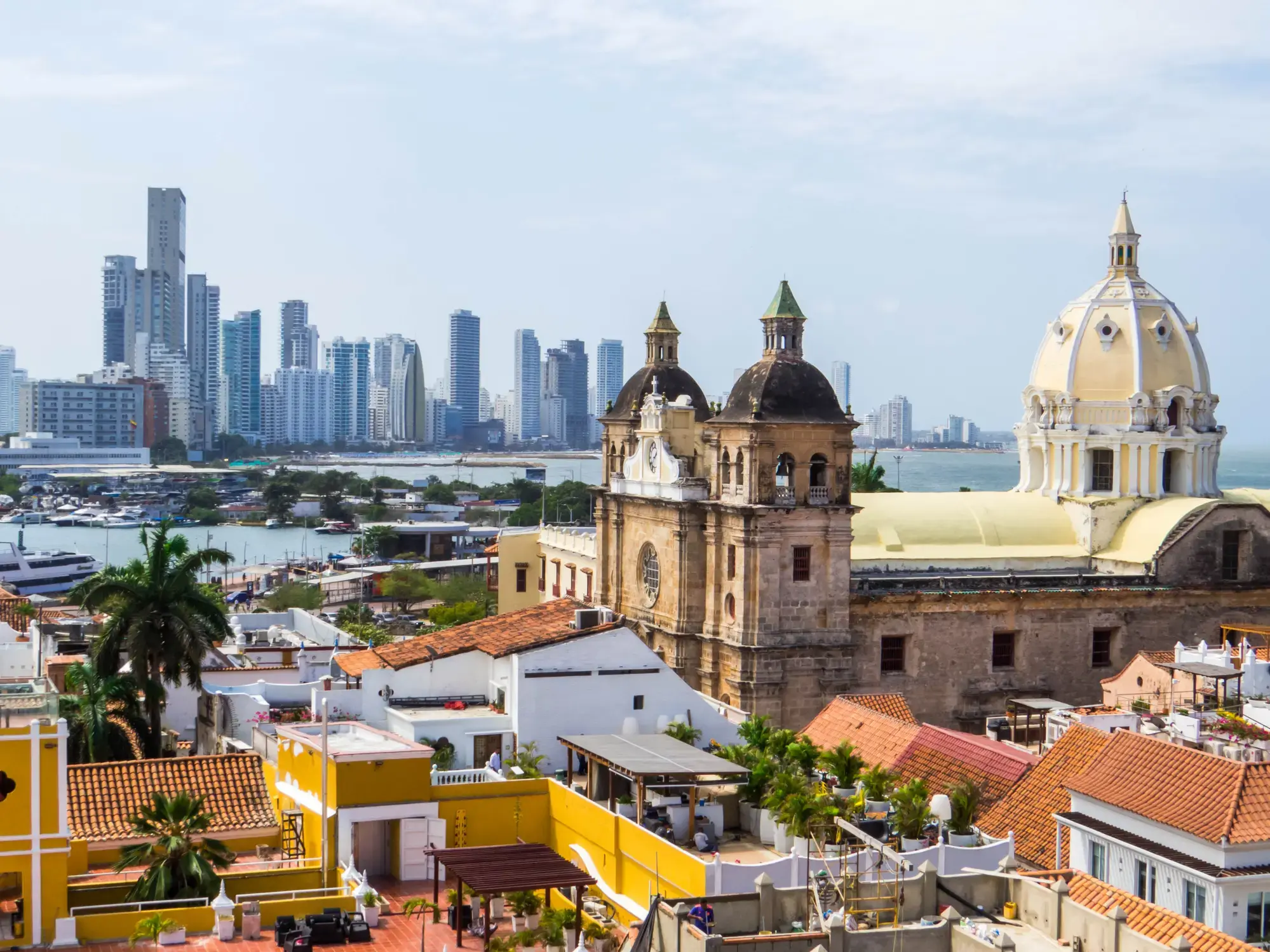
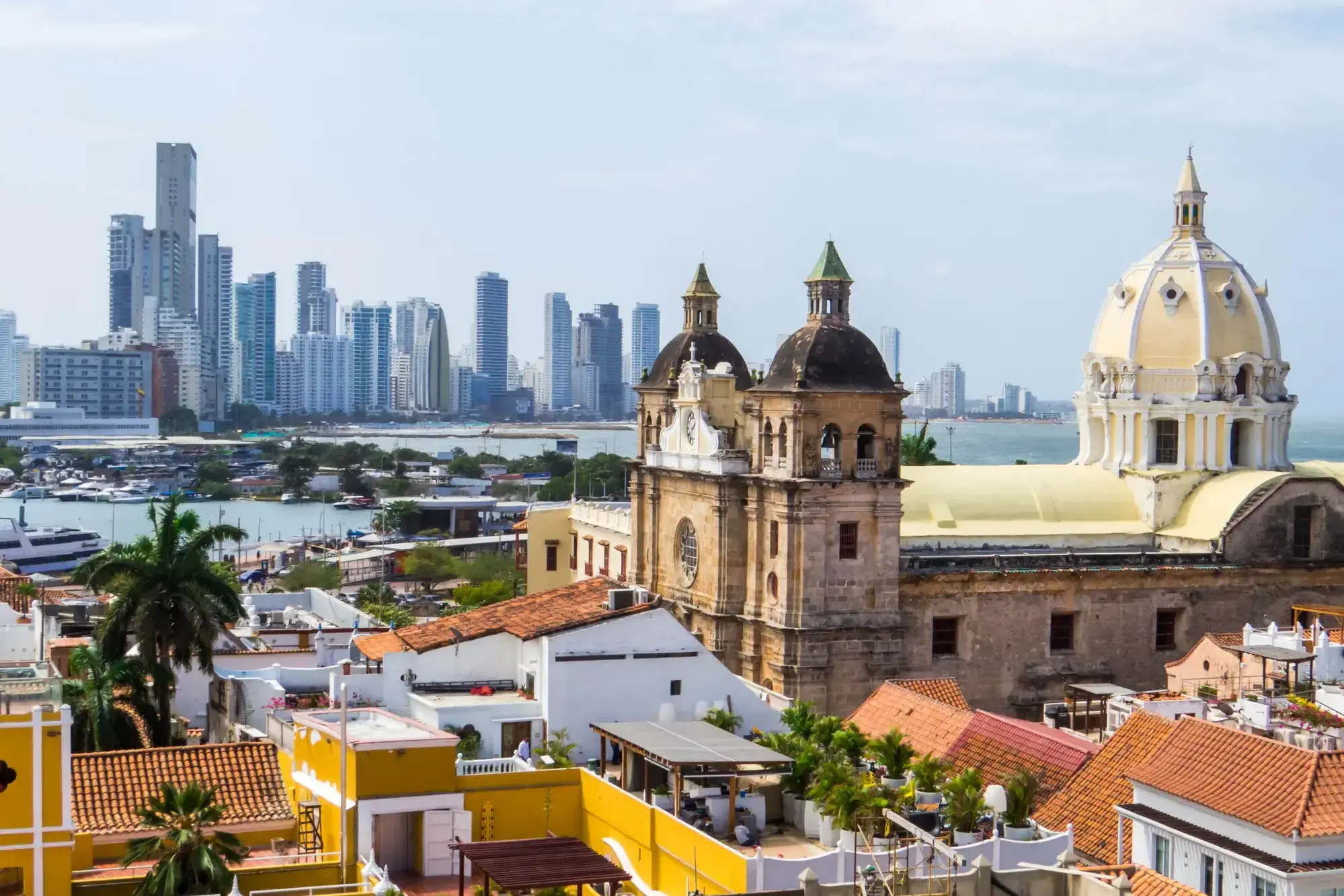
Starożytne mury forteczne, uliczni muzycy i karaibskie słońce tworzą niepowtarzalną atmosferę w Cartagenie (Bolívar) – perle kolumbijskiego wybrzeża. Miasto wpisane na listę światowego dziedzictwa UNESCO zachwyca kolonialną architekturą, uroczymi dziedzińcami i aromatem świeżo parzonej kawy z licznych kawiarni.
Zanurz się w tętniący życiem rytm Cartageny, spacerując brukowanymi uliczkami Starego Miasta, gdzie każdy zakątek kryje opowieści o piratach i hiszpańskich konkwistadorach. Zachód słońca przy starożytnej twierdzy Castillo San Felipe de Barajas to idealne zakończenie dnia pełnego kultury, historii i tropikalnego uroku.
Starożytne mury forteczne, uliczni muzycy i karaibskie słońce tworzą niepowtarzalną atmosferę w Cartagenie (Bolívar) – perle kolumbijskiego wybrzeża. Miasto wpisane na listę światowego dziedzictwa UNESCO zachwyca kolonialną architekturą, uroczymi dziedzińcami i aromatem świeżo parzonej kawy z licznych kawiarni.
Zanurz się w tętniący życiem rytm Cartageny, spacerując brukowanymi uliczkami Starego Miasta, gdzie każdy zakątek kryje opowieści o piratach i hiszpańskich konkwistadorach. Zachód słońca przy starożytnej twierdzy Castillo San Felipe de Barajas to idealne zakończenie dnia pełnego kultury, historii i tropikalnego uroku.
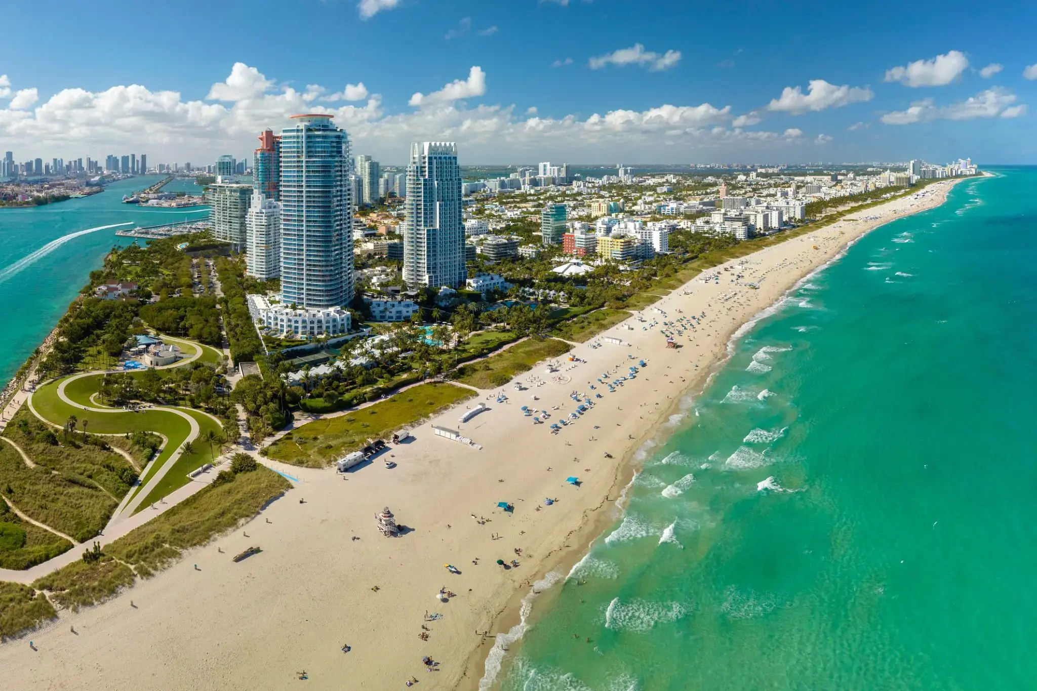
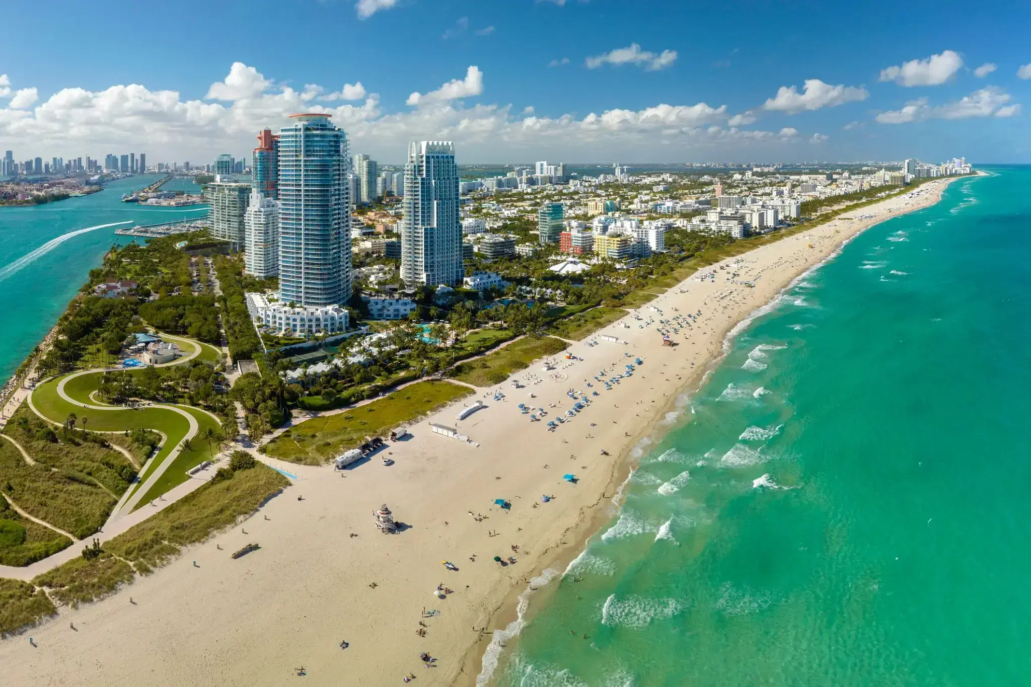
Miami, officially the City of Miami, is the cultural, economic and financial center of South Florida. Miami is the seat of Miami-Dade County, the most populous county in Florida. The city covers an area of about 56.6 square miles (147 km2), between the Everglades to the west and Biscayne Bay on the east; with a 2017 estimated population of 463,347, Miami is the sixth most densely populated major city in the United States. The Miami metropolitan area is home to 6.1 million people and the seventh-largest metropolitan area in the nation. Miami's metro area is the second-most populous metropolis in the southeastern United States and fourth-largest urban area in the U.S.
Miami is a major center, and a leader in finance, commerce, culture, media, entertainment, the arts, and international trade. The Miami Metropolitan Area is by far the largest urban economy in Florida and the 12th largest in the United States with a GDP of $344.9 billion as of 2017. In 2012, Miami was classified as an "Alpha−" level world city in the World Cities Study Group's inventory. In 2010, Miami ranked seventh in the United States and 33rd among global cities in terms of business activity, human capital, information exchange, cultural experience, and political engagement. In 2008, Forbes magazine ranked Miami "America's Cleanest City", for its year-round good air quality, vast green spaces, clean drinking water, clean streets, and citywide recycling programs. According to a 2009 UBS study of 73 world cities, Miami was ranked as the richest city in the United States, and the world's seventh-richest city in terms of purchasing power. Miami is nicknamed the "Capital of Latin America" and is the largest city with a Cuban-American plurality.
Greater Downtown Miami has one of the largest concentrations of international banks in the United States, and is home to many large national and international companies. The Civic Center is a major center for hospitals, research institutes, medical centers, and biotechnology industries. For more than two decades, the Port of Miami, known as the "Cruise Capital of the World", has been the number one cruise passenger port in the world. It accommodates some of the world's largest cruise ships and operations, and is the busiest port in both passenger traffic and cruise lines. Metropolitan Miami is also a major tourism hub in the southeastern U.S. for international visitors, ranking number two in the country after New York City.
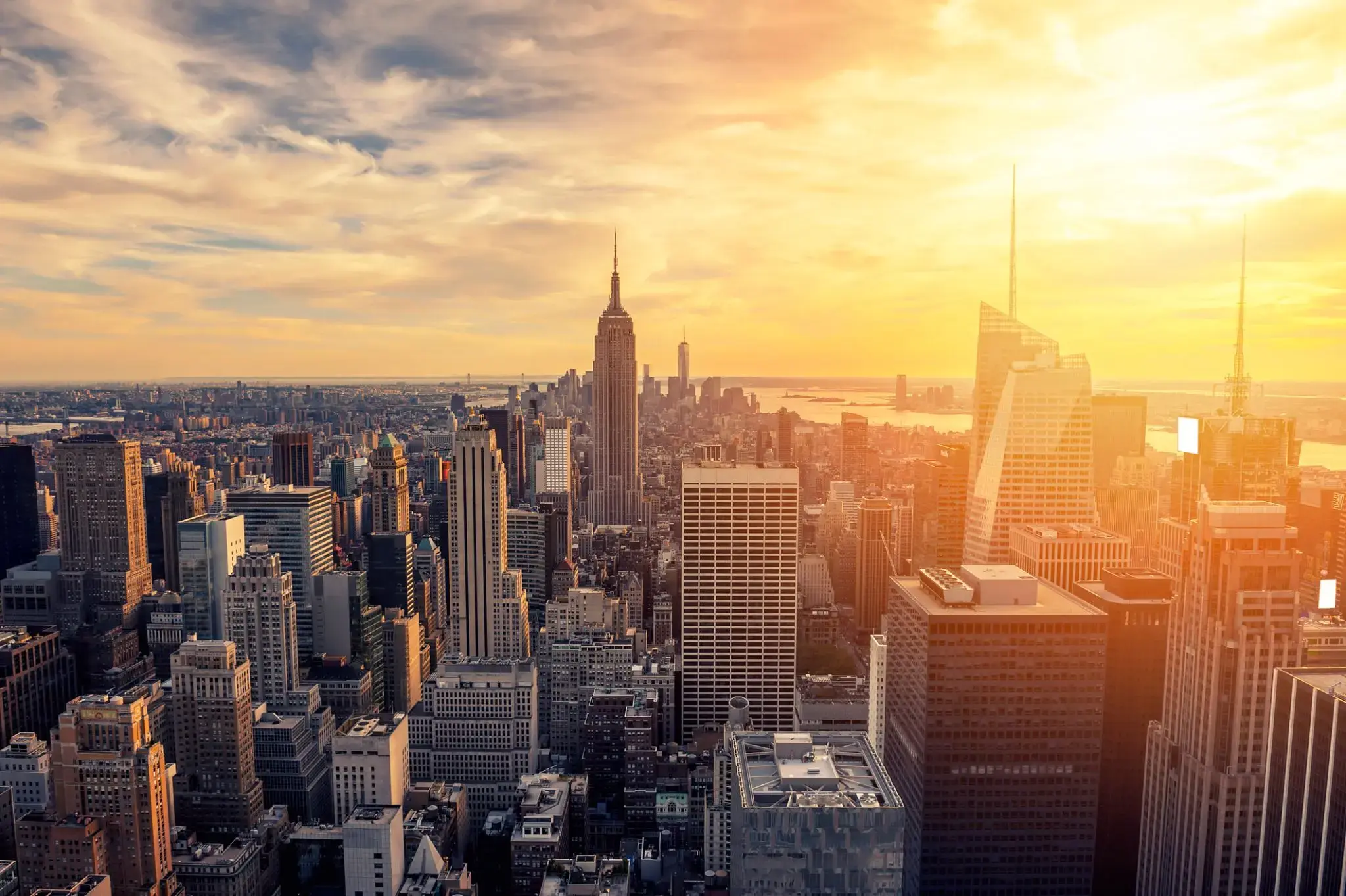
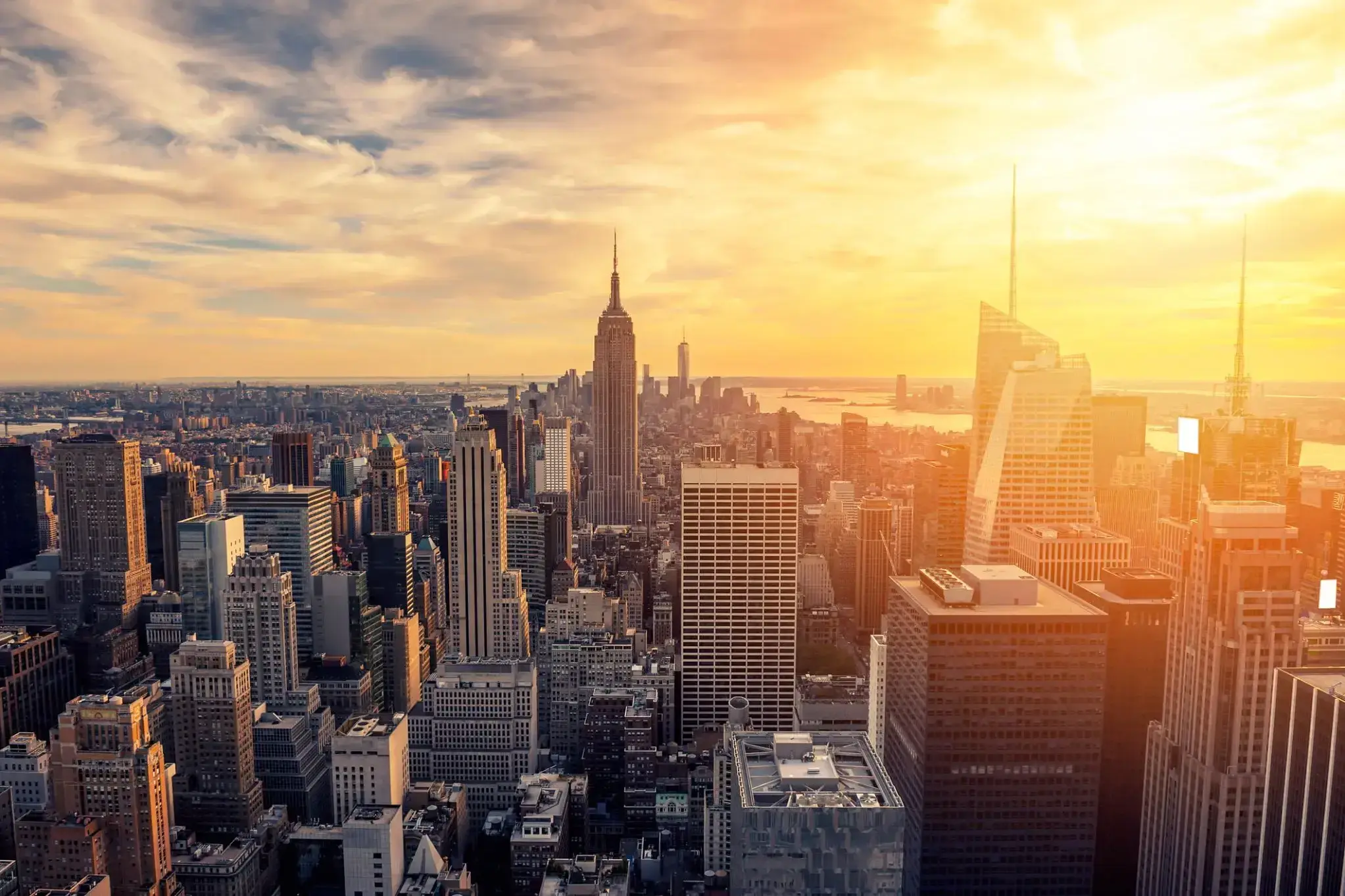
The world famous city of New York , the largest city in the United States, with a population of 8.5 million people, and with suburbs - 20.6 million. New York is the largest economic, political, scientific, and cultural center of the United States. It is rightly called the "Main Gate" in the United States, and the world's largest John F. Kennedy Airport is located here. One of the distinguishing features of the city is the variegated national composition of the population, also called the United States in Miniature.
New York gathered in itself the whole essence of this country: fashion, religion, goods, pace and rhythm of American life. The UN headquarters is located here. There are also many universities in New York, the Academy of Sciences, and many other scientific institutions. Like any other metropolis in the world, New York invites you to visit numerous museums in the city, theaters and concert halls, including the Metropolitan Opera and Carnegie Hall. A great place to relax in New York is Central Park, where you can feed hand-held squirrels, which, to everyone's surprise, are not afraid of people. You can also appreciate the beauty of the famous Empire State Building, with a height of 102 floors, it is an example of skyscrapers, although it was built in 1829-1831. "Must see" in New York, of course, the Statue of Liberty ("Lady Liberty"), located at the mouth of the Hudson River, on the small island of Liberty. And of course, don't forget to stroll along Broadway.
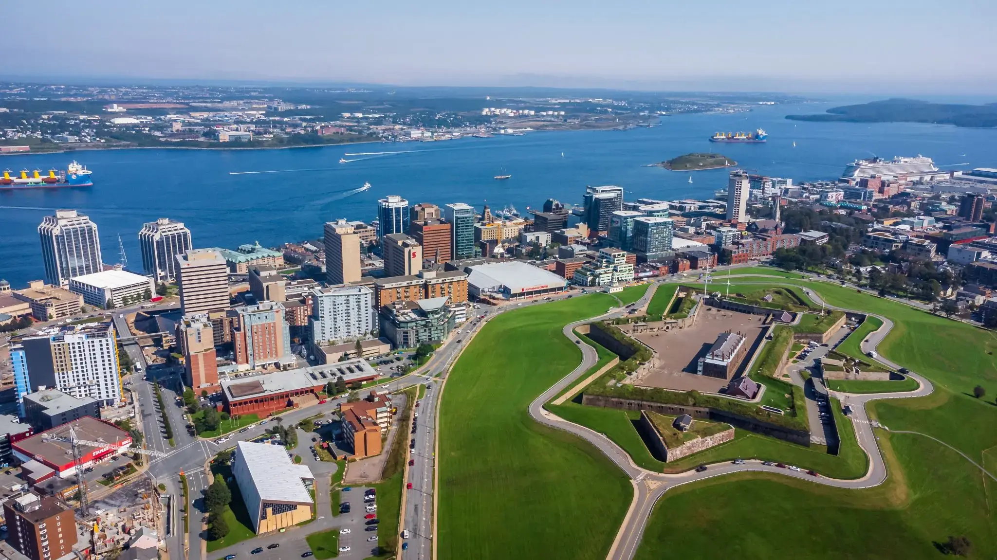
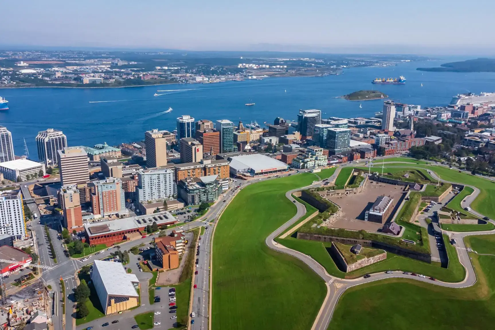
Halifax, also known as the Halifax Regional Municipality (HRM), is the capital of the Canadian province of Nova Scotia. The municipality had a population of 403,131 in 2016, with 316,701 in the urban area centred on Halifax Harbour. The regional municipality consists of four former municipalities that were amalgamated in 1996: Halifax, Dartmouth, Bedford, and Halifax County.
Halifax is a major economic centre in Atlantic Canada with a large concentration of government services and private sector companies. Major employers and economic generators include the Department of National Defence, Dalhousie University, Saint Mary's University, the Halifax Shipyard, various levels of government, and the Port of Halifax. Agriculture, fishing, mining, forestry and natural gas extraction are major resource industries found in the rural areas of the municipality.
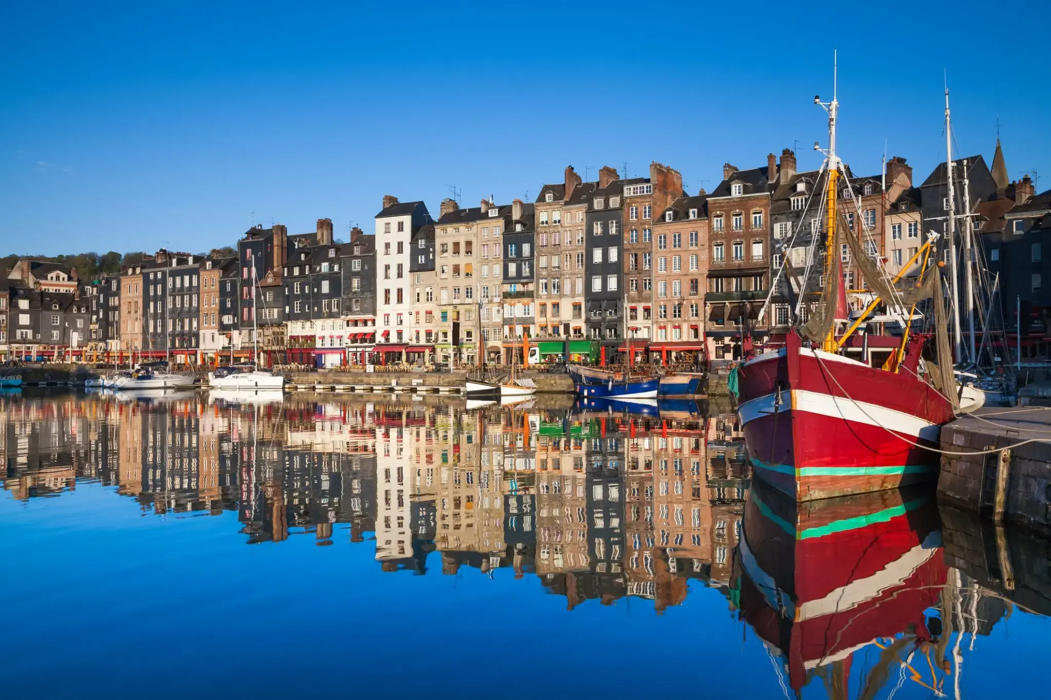
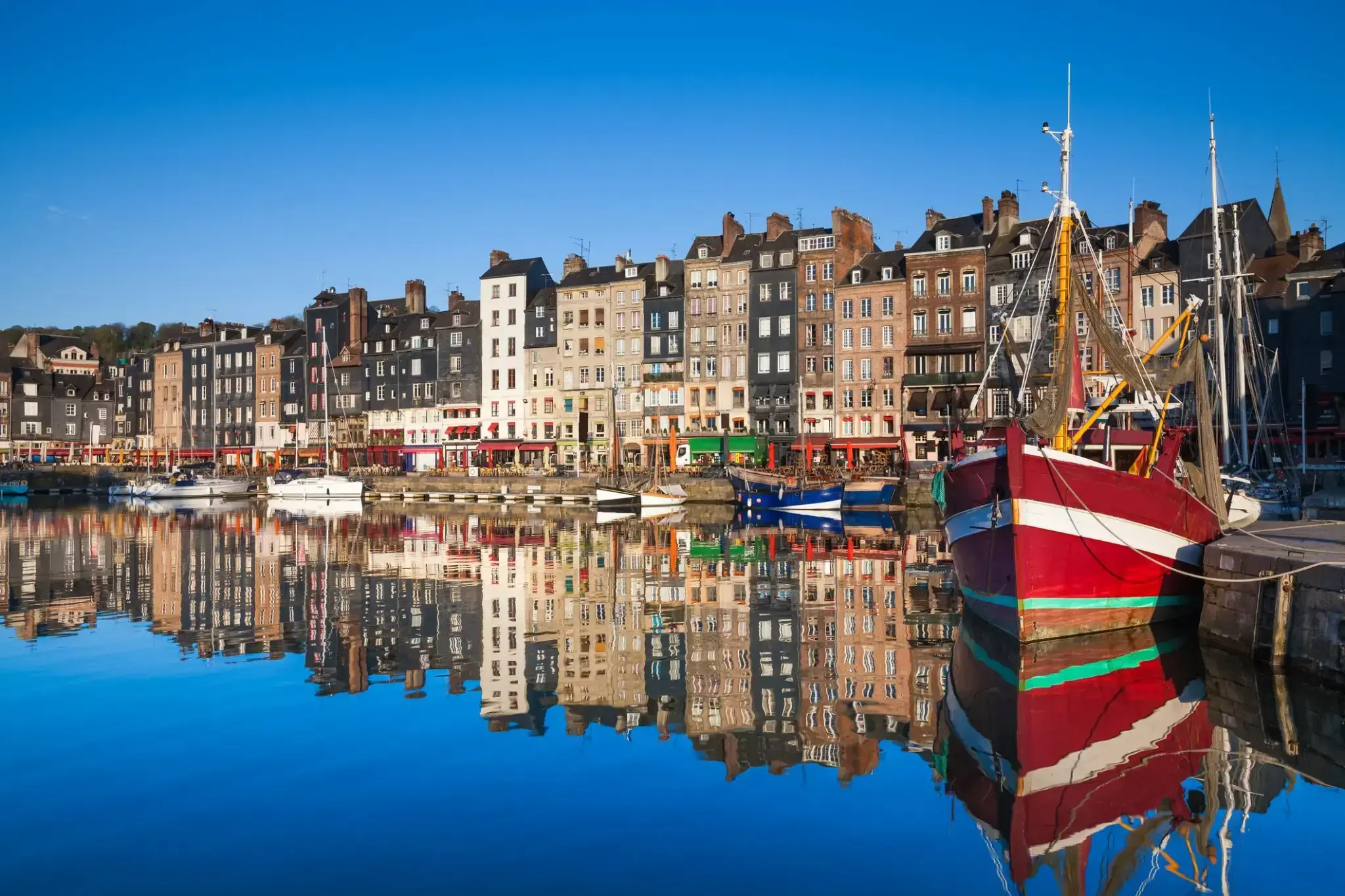
Honfleur jest gminą w departamencie Calvados w północno-zachodniej Francji. Położone jest na południowym brzegu ujścia Sekwany, naprzeciwko Le Havre i bardzo blisko wyjazdu z Pont de Normandie. Jego mieszkańców nazywa się Honfleurais.
Jest szczególnie znane ze swojego starego, pięknego, malowniczego portu, charakteryzującego się domami z fasadami pokrytymi łupkiem, wielokrotnie malowanymi przez artystów, w tym w szczególności Gustave'a Courbeta, Eugène'a Boudina, Claude'a Moneta i Johana Jongkinda, tworzących École de Honfleur (szkołę honfleurską), która przyczyniła się do powstania ruchu impresjonistycznego. Kościół Sainte-Catherine, którego dzwonnica jest oddzielona od głównego budynku, jest największym drewnianym kościołem we Francji.
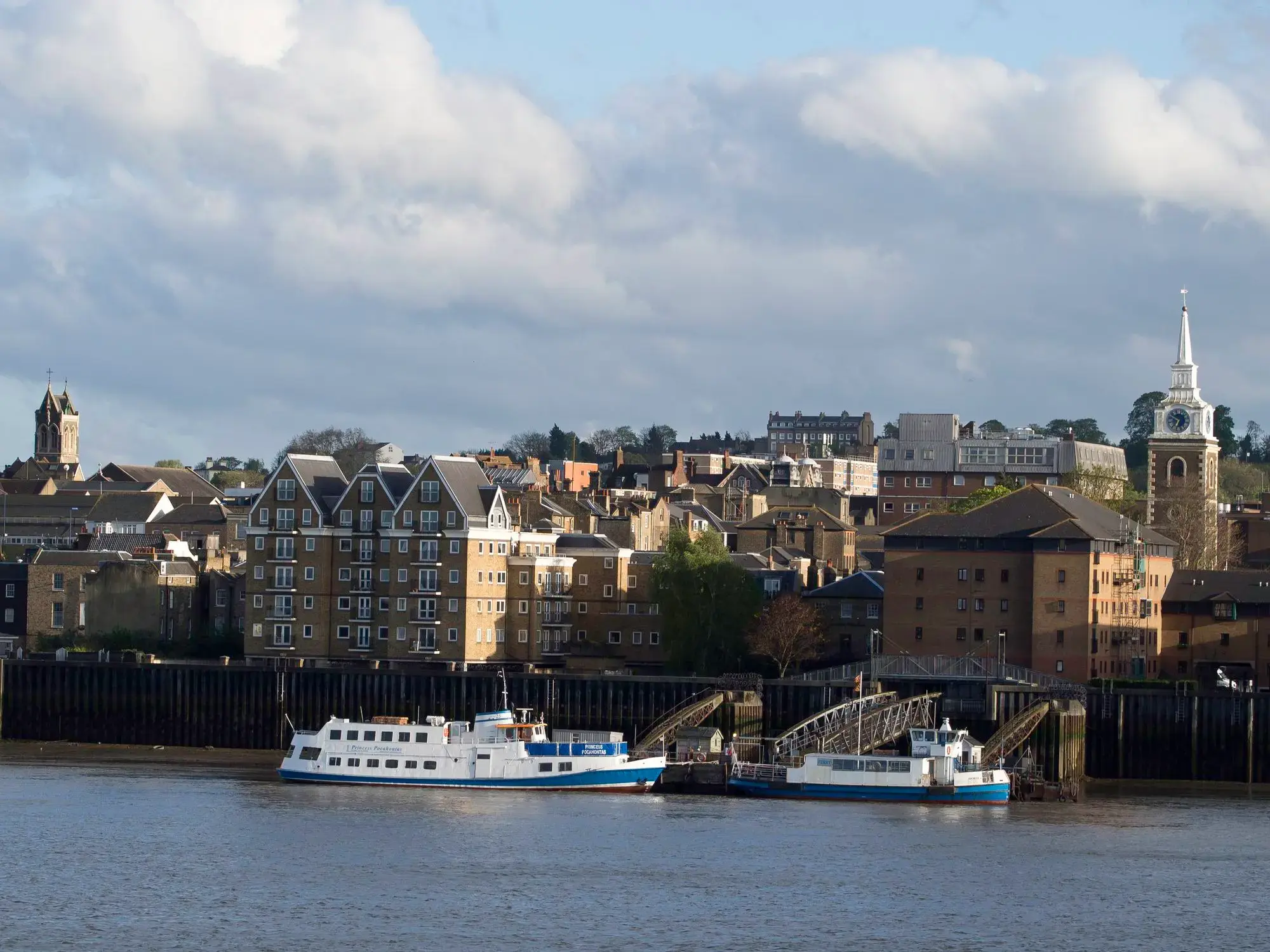
Tilbury to nadmorskie miasteczko we wschodniej części hrabstwa Essex, będące częścią portowego kompleksu Londynu. Położone jest na północnym brzegu Tamizy, około 40 kilometrów od centrum brytyjskiej stolicy. Główną atrakcją miasta jest Fort Tilbury, zbudowany w XVI wieku z rozkazu Henryka VIII w celu ochrony Londynu przed atakami morskimi. To właśnie tutaj w 1588 roku królowa Elżbieta I wygłosiła swoją słynną mowę do żołnierzy przygotowujących się do walki z hiszpańską armadą.
Współczesne Tilbury znane jest jako ważny port towarowy i wycieczkowy, regularnie przyjmujący statki pasażerskie. To dogodne miejsce do rozpoczęcia podróży morskiej po Europie lub odwiedzin Londynu, dzięki dobrym połączeniom komunikacyjnym. Miasto przyciąga turystów swoją historyczną atmosferą, dostępem do rzeki i widokami na rozległe wody Tamizy. Lokalna promenada i zabytkowe budynki nadają Tilbury szczególny urok brytyjskiej prowincji z głębokimi korzeniami historycznymi.
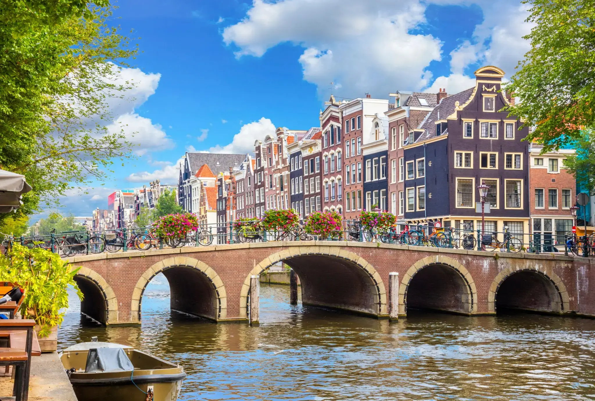
Największe handlowe miasto Niderlandów — Amsterdam zostało założone w odległym 1275 roku i swoim pochodzeniem, jak i nazwą, zawdzięcza tamie, która w swoim czasie zabezpieczyła okolice przed powodziami („tama na rzece Amstel”). To najsłynniejsze na cały świat miasto może poszczycić się wieloma zabytkami. Na tę szeroką listę wchodzą centralna ulica Damrak, place Dam i Leidseplein, Pałac Królewski, słynne kościoły Nieuwe i Oude Kerk. Również w Amsterdamie można znaleźć liczne muzea, które wywołają ogromne zainteresowanie u wszystkich gości miasta: muzeum Van Gogha, muzea sztuki nowoczesnej i figur woskowych, dom-muzeum Anny Frank, a nawet muzeum seksu. Spacerując po mieście, będą mogli Państwo podziwiać most Magere Brug, wieżę Montelbaanstoren i wiele innych.
Ale nie tylko to przyciąga tutaj tłumy turystów. W szczególności młodzież przyjeżdża tutaj, ponieważ jest to jedna ze stolic handlowych świata, wielu przyciągają miejscowe coffeeshopy, gdzie można spróbować ciasteczek z marihuaną, a innych wabi nieskończona liczba nocnych klubów. Oczywiście wszystko to kusi i intryguje, ale jest jedna niezwykła, w szczególny sposób pociągająca atrakcja — niewiarygodna atmosfera tego miasta.
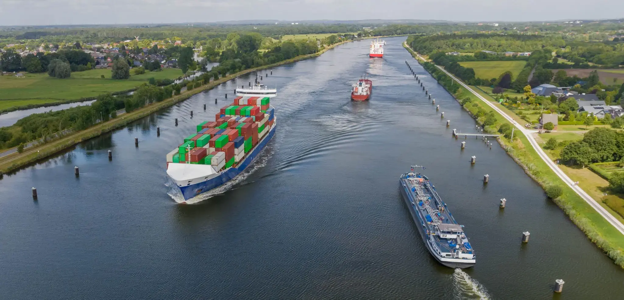

Baltic Sea resort in the northern part of the city of Rostock. The area was named along the Varnov River, which flows into the Baltic Sea here. The sandy beach is Germany's largest Baltic beach.
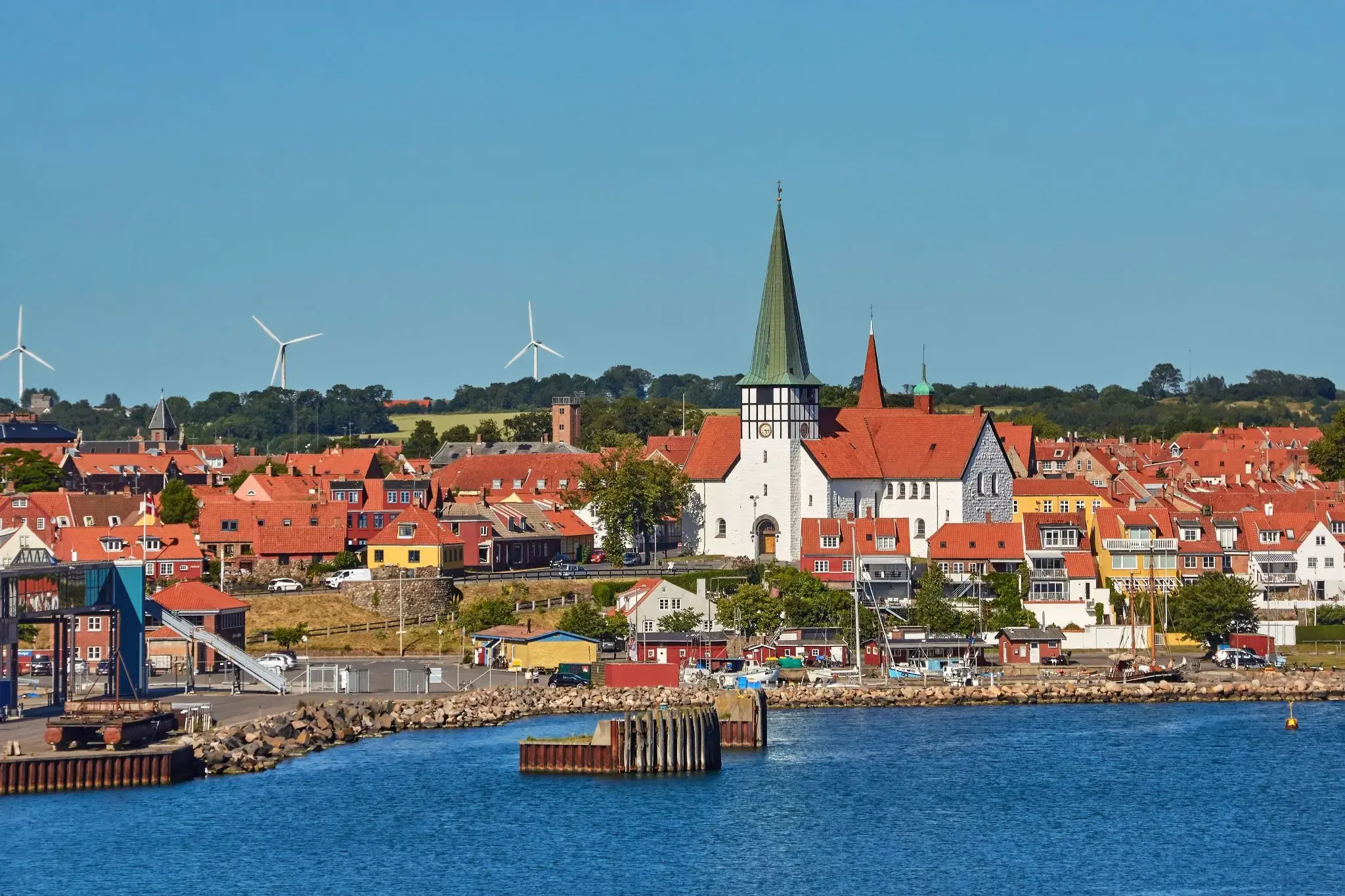
Ciche uliczki z domami szachulcowymi sprawiają, że Ronne (Rønne) jest przytulnym zakątkiem na duńskiej wyspie Bornholm, gdzie każdy krok wypełniony jest zapachem morza i świeżego pieczywa z lokalnych piekarni. Miasto słynie z warsztatów ceramiki i szkła oraz przytulnej atmosfery portu rybackiego, w którym można spróbować świeżo wędzonego śledzia i obserwować, jak statki powoli wpływają do portu. Tutaj czas zwalnia, pozwalając cieszyć się spacerami po starym mieście z brukowanymi uliczkami i malowniczymi domami z XVIII wieku.
W Ronne podróżnych czeka spokojny wypoczynek z nutą duńskiego przytulnego klimatu i kreatywnej atmosfery wyspy. Muzeum Bornholmu przybliża historię wyspy i tradycje morskie, a spacery wzdłuż wybrzeża ukazują skaliste brzegi i czyste plaże zapraszające do odpoczynku przez cały rok. To miasto jest idealnym miejscem dla tych, którzy chcą poczuć autentyczną Danię, zaczerpnąć morskiego powietrza i odkryć ciepłą gościnność Bornholmu.
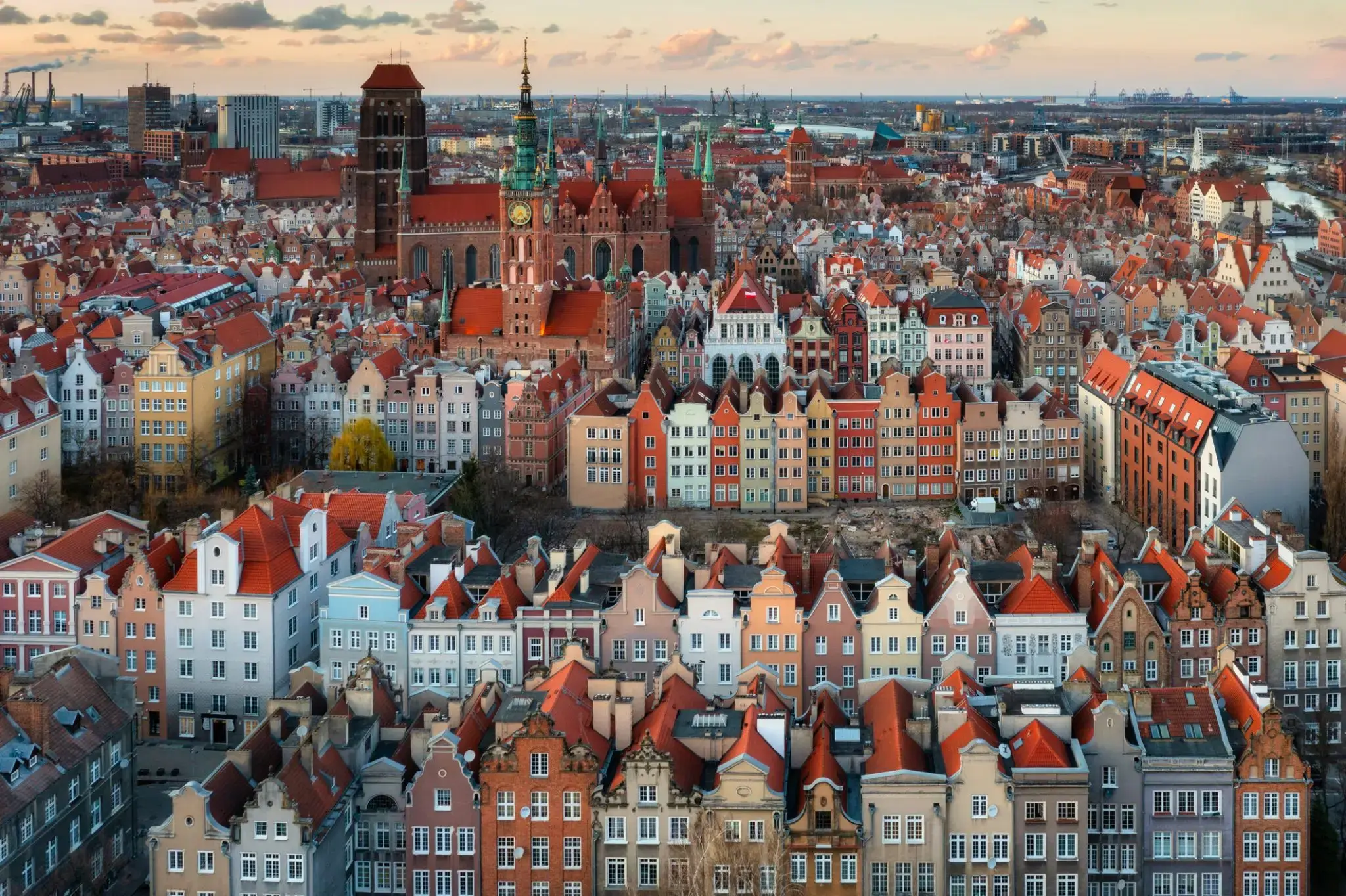
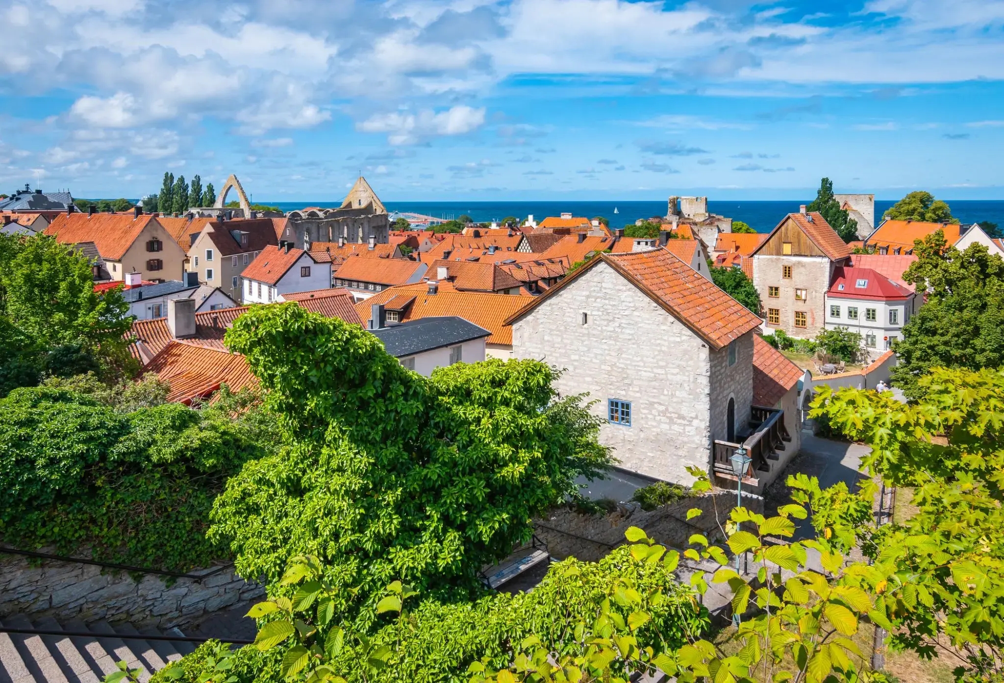
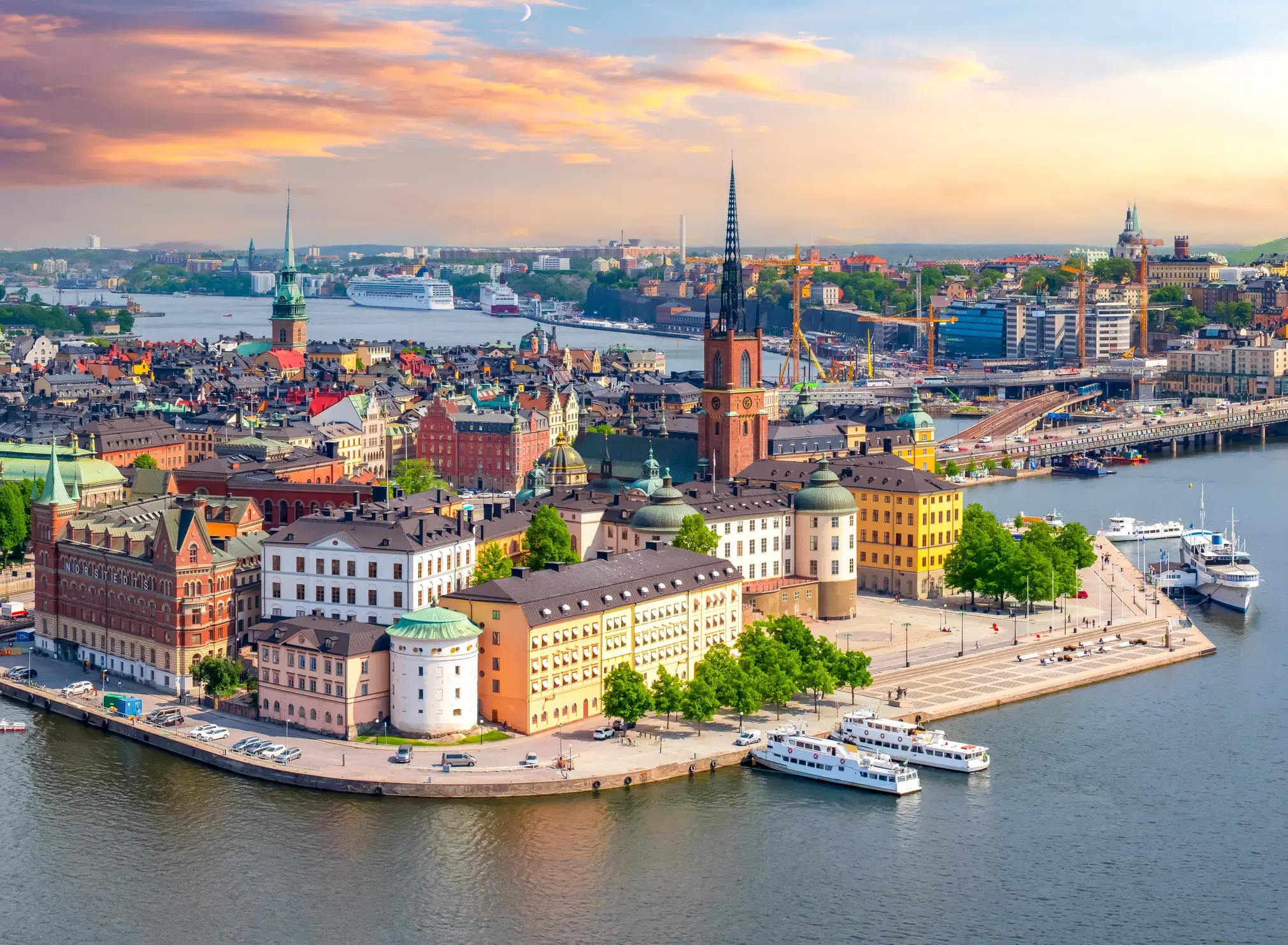
Stockholm is the capital of Sweden and the most populous urban area in the Nordic countries; 960,031 people live in the municipality, approximately 1.5 million in the urban area, and 2.3 million in the metropolitan area. The city stretches across fourteen islands where Lake Mälaren flows into the Baltic Sea. Just outside the city and along the coast is the island chain of the Stockholm archipelago. The area has been settled since the Stone Age, in the 6th millennium BC, and was founded as a city in 1252 by Swedish statesman Birger Jarl. It is also the capital of Stockholm County.
Stockholm is the cultural, media, political, and economic centre of Sweden. The Stockholm region alone accounts for over a third of the country's GDP, and is among the top 10 regions in Europe by GDP per capita. It is an important global city, and the main centre for corporate headquarters in the Nordic region. The city is home to some of Europe's top ranking universities, such as the Stockholm School of Economics, Karolinska Institute and Royal Institute of Technology (KTH). It hosts the annual Nobel Prize ceremonies and banquet at the Stockholm Concert Hall and Stockholm City Hall. One of the city's most prized museums, the Vasa Museum, is the most visited non-art museum in Scandinavia. The Stockholm metro, opened in 1950, is well known for the decor of its stations; it has been called the longest art gallery in the world. Sweden's national football arena is located north of the city centre, in Solna. Ericsson Globe, the national indoor arena, is in the southern part of the city. The city was the host of the 1912 Summer Olympics, and hosted the equestrian portion of the 1956 Summer Olympicsotherwise held in Melbourne, Victoria, Australia.
Stockholm is the seat of the Swedish government and most of its agencies, including the highest courts in the judiciary, and the official residencies of the Swedish monarch and the Prime Minister. The government has its seat in the Rosenbad building, the Riksdag (Swedish parliament) is seated in the Parliament House, and the Prime Minister's residence is adjacent at Sager House. Stockholm Palace is the official residence and principal workplace of the Swedish monarch, while Drottningholm Palace, a World Heritage Site on the outskirts of Stockholm, serves as the Royal Family's private residence.

Tallinn is the capital and largest city of Estonia. It is on the northern coast of the country, on the shore of the Gulf of Finland in Harju County. From the 13th century until 1918 (and briefly during the Nazi occupation of Estonia from 1941 to 1944), the city was known as Reval. Tallinn occupies an area of 159.2 km2 (61.5 sq mi) and has a population of 453,033.
Tallinn, first mentioned in 1219, received city rights in 1248, but the earliest human settlements date back 5,000 years. The initial claim over the land was laid by the Danes in 1219, after a successful raid of Lindanise led by Valdemar II of Denmark, followed by a period of alternating Scandinavian and German rule. Due to its strategic location, the city became a major trade hub, especially from the 14th to the 16th century, when it grew in importance as part of the Hanseatic League.
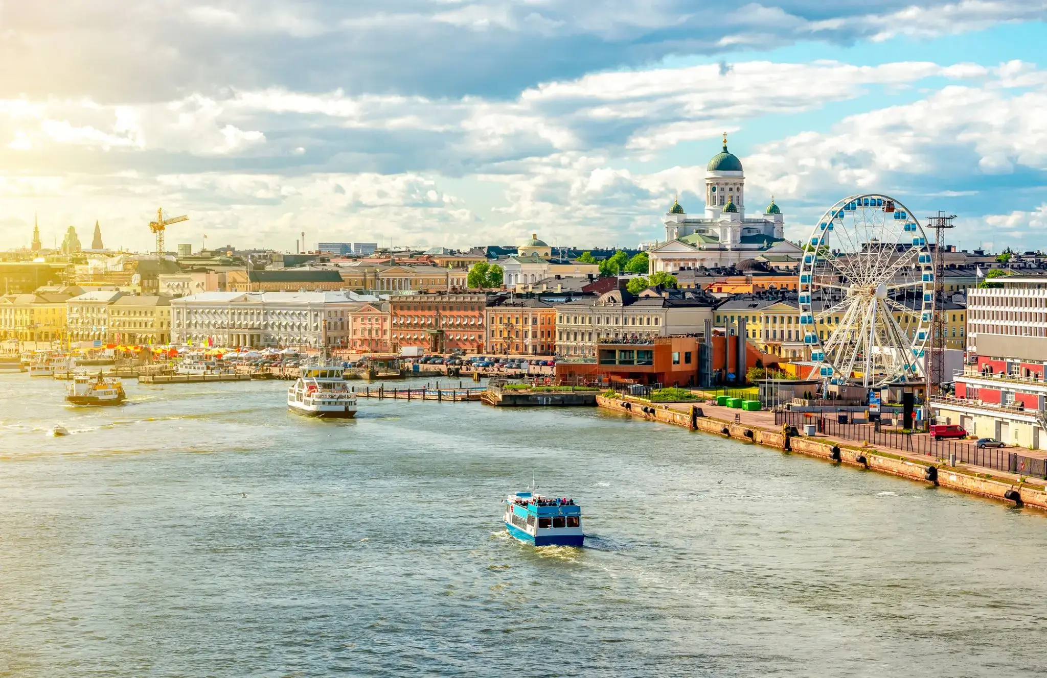
Helsinki located in the southern Finland, and has a population of 648,650. The city's urban area has a population of 1,268,296, it’s the most important center for politics, education, finance, culture, and research. Helsinki is located 80 kilometers (50 mi) north of Tallinn, Estonia, 400 km (250 mi) east of Stockholm, Sweden, and 390 km (240 mi) west of Saint Petersburg, Russia. It has close ties with these three cities.
Together with the cities of Espoo, Vantaa, and Kauniainen, and the surrounding commuter towns, Helsinki forms the Greater Helsinki metropolitan area, which has a population of nearly 1.5 million. Often being considered a metropolis of the EU member state. After Stockholm and Oslo, Helsinki is the third largest city in the Nordic countries. It is located in the city of Vantaa and is located in the city of Vantaa.
Helsinki was the World Design Capital for 2012, the 1952 Summer Olympics and the 52nd Eurovision Song Contest.
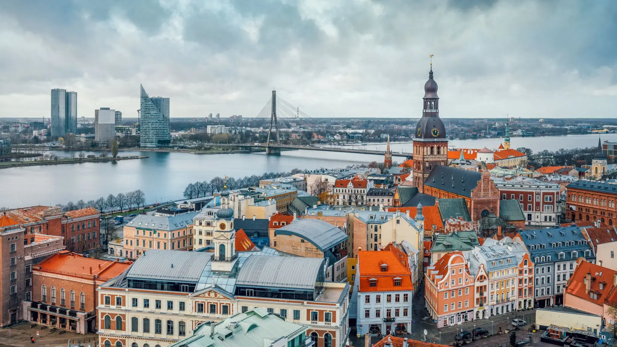
Riga is the capital and largest city of Latvia. With 637,827 inhabitants (2018), it is also the largest city in the three Baltic states, home to one third of Latvia's population and one tenth of the three Baltic states' combined population. The city lies on the Gulf of Riga, at the mouth of the Daugava. Riga's territory covers 307.17 km2 (118.60 sq mi) and lies 1–10 m (3 ft 3 in–32 ft 10 in) above sea level, on a flat and sandy plain.
Riga was founded in 1201 and is a former Hanseatic League member. Riga's historical centre is a UNESCO World Heritage Site, noted for its Art Nouveau/Jugendstil architecture and 19th century wooden architecture. Riga was the European Capital of Culture during 2014, along with Umeå in Sweden. Riga hosted the 2006 NATO Summit, the Eurovision Song Contest 2003, the 2006 IIHF Men's World Ice Hockey Championships and the 2013 World Women's Curling Championship. It is home to the European Union's office of European Regulators for Electronic Communications (BEREC).
In 2016, Riga received over 1.4 million visitors. It is served by Riga International Airport, the largest and busiest airport in the Baltic states. Riga is a member of Eurocities, the Union of the Baltic Cities (UBC) and Union of Capitals of the European Union (UCEU).

Klaipėda is a city in Lithuania on the Baltic Sea coast. It is the third largest city in Lithuania and the capital of Klaipėda County.
The city has a complex recorded history, partially due to the combined regional importance of the usually ice-free Port of Klaipėda at the mouth of the Akmena-Danė River. It was controlled by successive German states until the 1919 Treaty of Versailles. As a result of the 1923 Klaipėda Revolt it was added to Lithuania and has remained with Lithuania to this day, except for the period between 1939 and 1945 when it returned to Germany following the 1939 German ultimatum to Lithuania and the German–Soviet Union Molotov–Ribbentrop Pact.
The population has shrunk from the city to suburbs and the hinterland. The city had a population of 207,100 in 1992 to 157,350 in 2014 but the city is growing again. Popular seaside resorts found close to Klaipėda are Nida to the south on the Curonian Spit and Palanga to the north.
Bandol is a commune in Var department, Provence-Alpes-Côte d'Azur region, southeastern France. Bandol and the seat of its eponymous commune, was founded in 1595 and built around a small military fort.
The Bandol wine region, located near the coast east of Marseille and Cassis, is one of Provence’s most internationally recognized wine regions. Built around the village of Bandol, west of Toulon, the Bandol AOC covers the production of 8 communes with silicon & limestone soils. Those soils and the warm, coastal climate are ideally suited for the late ripening Mourvèdre grape which is the major variety of the region. For both the red and rosé wines, Mourvèdre must account for at least 50% of the blend, though most producers will use significantly more, with Grenache & Cinsaut usually filling out the rest of the wine’s composition.
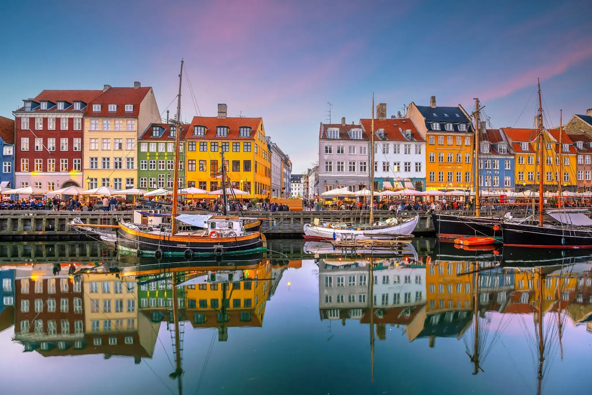
the capital and chief port of Denmark, a city that occupies the eastern part of Zealand and northern part of the island of Amager; population 518,574 (2009).
the capital and chief port of Denmark, a city that occupies the eastern part of Zealand and northern part of the island of Amager; population 518,574 (2009).